Starting point: Renče (45 m)
Starting point Lat/Lon: 45.8899°N 13.6695°E 
Time of walking: 2 h
Difficulty: easy marked way
Difficulty of skiing: no data
Altitude difference: 598 m
Altitude difference (by path): 600 m
Map: Goriška 1:50.000
Access to starting point:
From highway Razdrto - Nova Gorica we go to the exit Vogrsko and we continue driving towards the village Volčja Draga. From Volčja Draga we continue towards the village Bilje, but only to the village Bukovica, where we turn left towards Renče. In Renče we park on a parking lot at the main square.
Path description:
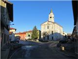
From the parking lot at the main square we go left in the direction towards the building of primary school, after 200 meters at this building we turn right. On the side road we walk to the first crossing, where we turn right. The road ascends a little and then at the first crossroad we turn right. After approximately 200 meters, at the crossing we turn right. We walk further on an asphalt road which soon passes into the forest road. At the next crossing, we turn right, and the forest road soon slightly ascends. Higher, we join main diagonal forest road, that runs in a longer light steady ascent. When we come to marked footpath which from the forest road branches off right, we turn there. After few minutes walk on a grassy slope at the crossing we turn right, where the footpath then runs in a steeper ascent. On a footpath we again come in the forest of coniferous trees. On this part of the path, we are accompanied by signposts, which lead us in the direction of the mountain hut on Trstelj. At the crossing of forest road, near the mountain hut we turn right, whereupon we quickly get to the top, from which a nice view opens up.
Pictures:
 1
1 2
2 3
3 4
4 5
5 6
6 7
7 8
8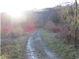 9
9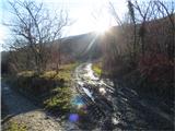 10
10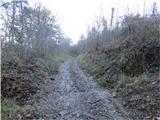 11
11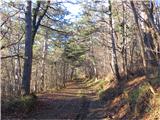 12
12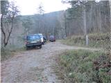 13
13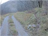 14
14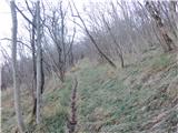 15
15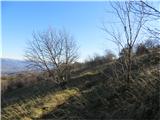 16
16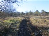 17
17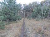 18
18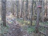 19
19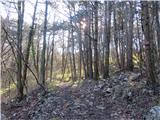 20
20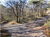 21
21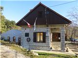 22
22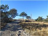 23
23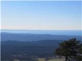 24
24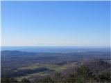 25
25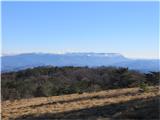 26
26 27
27 28
28