Starting point: Ribnik (265 m)
Starting point Lat/Lon: 46.05168°N 14.62077°E 
Time of walking: 40 min
Difficulty: easy unmarked way
Difficulty of skiing: no data
Altitude difference: 265 m
Altitude difference (by path): 265 m
Map:
Access to starting point:
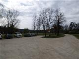
From the east Ljubljana bypass highway, we go to the exit Ljubljana - east and we continue driving on the road Zaloška cesta in the direction of Zalog. Further, we drive on the main road, and when we cross river Ljubljanica, we turn sharply to the right on a narrow road. The road brings us again on the other side of the railway track and soon becomes a macadam. We follow this road all the way to a larger parking lot at pond Ribnik pod Debnim vrhom.
Path description:
From the parking lot, we continue on the left northern side of the pond and then we continue right into the forest. After few ten meters of a light ascent we are again at the crossing of several paths. This time we go left on a footpath which is marked with double red lines.
From the crossing, we start ascending a little steeper and by the path, we will on this part also notice signs in the shape of red star. After a short ascent, we then join a little wider path and we continue right. Here the path leads us past a swing on the tree and is relatively steeply ascending through the forest. Further, we all the time follow the path which is marked with double red lines. From the path otherwise several times also shortcuts branch off. We still follow a wide path, which higher few times ascends in long hairpin turns, and then a little below the summit joins the marked path from Pečar.
At the crossing, we continue left and then follows only few meters of ascent to the top.
On the way: Ribnik pod Debnim vrhom (270m)
Pictures:
 1
1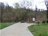 2
2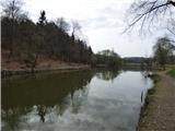 3
3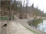 4
4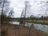 5
5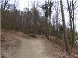 6
6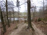 7
7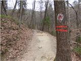 8
8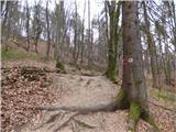 9
9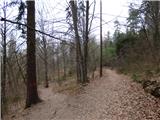 10
10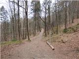 11
11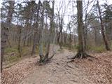 12
12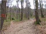 13
13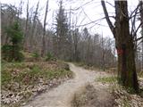 14
14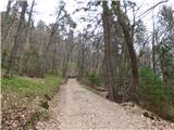 15
15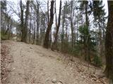 16
16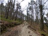 17
17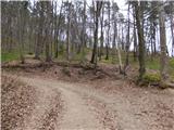 18
18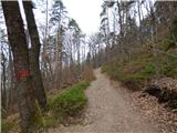 19
19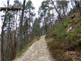 20
20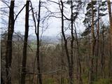 21
21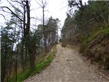 22
22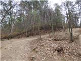 23
23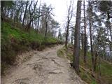 24
24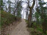 25
25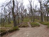 26
26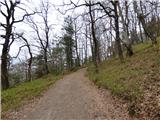 27
27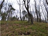 28
28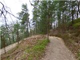 29
29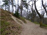 30
30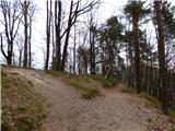 31
31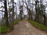 32
32 33
33