Rifugio Sorgenti del Piave - Monte Avanza
Starting point: Rifugio Sorgenti del Piave (1815 m)
Starting point Lat/Lon: 46.6203°N 12.7157°E 
Time of walking: 3 h
Difficulty: partly demanding marked way
Difficulty of skiing: no data
Altitude difference: 674 m
Altitude difference (by path): 800 m
Map:
Access to starting point:
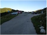
From highway Trbiž/Tarvisio - Videm/Udine we go to the exit Tolmezzo and follow the road ahead towards the mentioned town. Near Tolmezzo we leave the main road which leads towards the mountain pass Passo di Croce Carnico / Plöckenpass and go towards villages Villa Santina and Ampezzo. In the settlement Villa Santina at the roundabout, we go straight following the signs Raveo, Rigolato. We follow this road all the way to Cima Sapadda, where we continue right in the direction of the summit Monte Peralba. Considerably narrow and steep road we then follow to a large parking lot below the mighty Peralba. We park on the lower parking lot, where we notice signs for mountain hut Calvi (mountain hut at the source of Piava is a little further approx 500 meters).
Path description:
From the parking lot on an asphalt road, we descend a little back, and then signs for the peak Monte Avanza point us to the left on a footpath which crosses mostly grassy slopes towards the east. After few minutes of walking, the path starts descending and it quickly brings us to a forest road which we follow to the left. The road soon starts considerably descending, and in smaller crossroads we follow it straight (if we stick to the right we will get to bigger cottage). The road which meanwhile already became a little wider cart track, then finally brings us to the next signs for Monte Avanza (to here we need a little less than 30 minutes).
We continue in the direction of the mentioned summit on a marked path which starts ascending steeper through the forest. Higher, the steepness decreases and the path out of the forest brings us on almost unvegetated slopes, where we come on an unmarked crossing.
We continue sharply left, on again steeper path, which a little higher joins other transverse path (to here we can also come on traverse path, which crosses slopes below Monte Chiadenis). The path which continues towards the northeast, gradually passes into a smaller, but very distinct valley, through which we are ascending next few minutes. At a little bigger rock marked path turns sharply to the left (straight unmarked path which leads through the couloir towards Monte Avanza - ascent on this path I don't recommend because of the danger of falling stones) and over partly overgrown scree ascends by the foot of the wall. Over mentioned wall leads us a wide path (old mule track), which in zig-zags ascends towards the saddle Passo dei Cacciatori. A little below mentioned saddle we come at the marked crossing, where signs for Monte Avanza point us to the right on ample scree, over which we ascend to a pleasant grassy saddle, from which a nice view opens up on Monte Avanza.
The path ahead by the foot of the south walls of Crete Cacciatori crosses smaller scree, which ends by larger gully. Ahead we cross the gully and we follow the path which is further marked with red dots. The path ahead steeply ascends on a wide and exposed carved ledge (partly ruined mule track), which ends with a crossing of precipitous slope (there is a steel cable for help). Ahead we diagonally ascend by the foot of the walls, on the path which is because of the gravel dangerous for slipping. After few minutes of crossing slope flattens and the path brings us to caverns from times of the 1st world war.
The path ahead passes into more plain terrain, over which in few minutes we walk to the upper part of the mountain. Here the path which is ahead marked with numerous cairns (in fog the orientation is relatively difficult) again a little steeper ascends and after good 10 minutes of additional walking brings us to the summit.
Pictures:
 1
1 2
2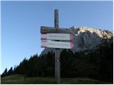 3
3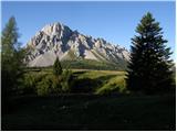 4
4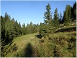 5
5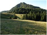 6
6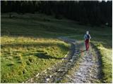 7
7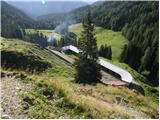 8
8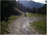 9
9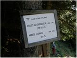 10
10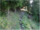 11
11 12
12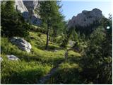 13
13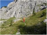 14
14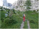 15
15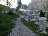 16
16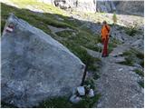 17
17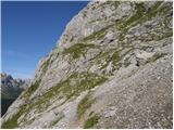 18
18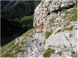 19
19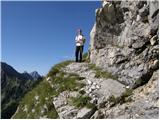 20
20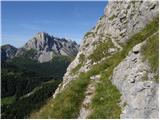 21
21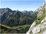 22
22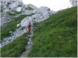 23
23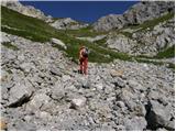 24
24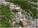 25
25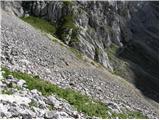 26
26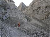 27
27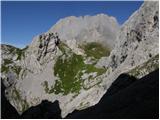 28
28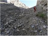 29
29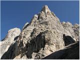 30
30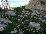 31
31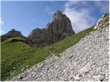 32
32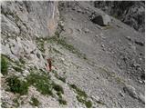 33
33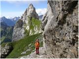 34
34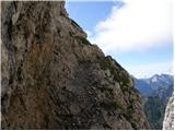 35
35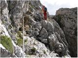 36
36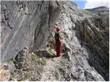 37
37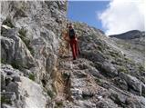 38
38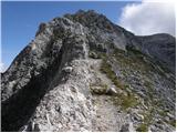 39
39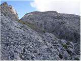 40
40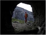 41
41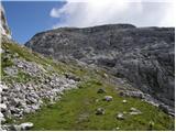 42
42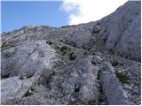 43
43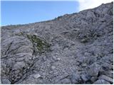 44
44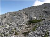 45
45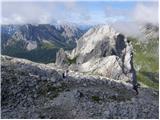 46
46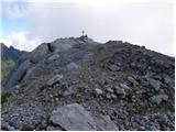 47
47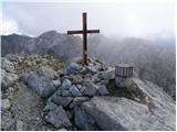 48
48 49
49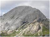 50
50