Rifugio Tolazzi - Monte Capolago / Seekopf
Starting point: Rifugio Tolazzi (1350 m)
Starting point Lat/Lon: 46.59199°N 12.8678°E 
Time of walking: 3 h 45 min
Difficulty: very difficult marked way
Difficulty of skiing: very demanding
Altitude difference: 1204 m
Altitude difference (by path): 1230 m
Map: Tabacco 01 1:25.000
Access to starting point:
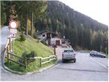
From Trbiž/Tarvisio we go on the highway towards Videm/Udine. We leave the highway at exit for Tolmezzo. At Tolmezzo we then also leave the road which runs towards the mountain pass Passo di Croce Carnico / Plöckenpass and go towards Villa Santina. In Villa Santina at the roundabout, we go straight following the signs Ovaro, Sappada. We follow this road all the way to Forni Avoltri, where we turn right following the signs Collina. We then follow the asphalt road all the way to the parking lot before the mountain hut Tolazzi.
Path description:
From the parking lot at the mountain hut Tolazzi we continue on the road following the signs Rif. Lambertenghi-Romanin. After a short ascent, we come to a crossroad, where we continue left on a narrower road (path 144), right leads the road towards the mountain hut Marinelli. We soon leave the road and go right on a footpath which starts ascending through the forest. The path runs on the right side of the valley and occasionally a nice view opens up to mountain walls of Monte Coglians on the right and Monte Capolago on the left side of the valley. When we come out of the forest we will in front of us already notice a saddle Volaia where there is also the mountain hut Lambertenghi-Romanin. The path is then ascending for some time by the cargo cableway, and then the path 145 from the mountain hut Marinelli joins from the right side. A short ascent and we soon come to a poorly visible crossing, where we leave the path 144 and continue left (towards the southwest) on a worse beaten path which leads on the scree. At the end of the scree we enter the climbing part of the path and already after the ascent over the first groove we find out, that the path is very badly beaten and that on the path, there won't be many fixed safety gear. The path then turns to the right and starts ascending on steep grass. When we come from steep grass the last traces of the path vanish and from here on we will be orienting only with the help of the blazes (red dots) and some cairns. Again we turn to the right in short descent and ascent, we cross an exposed slope towards the north. Soon we again enter the steep groove, from which blazes soon point us to the left on a steep smooth rocks. Next follows a little less steep ascent, but much more crumbly towards the south ridge of the mountain. When we reach the ridge, we continue right on unsecured ridge, which becomes very exposed and sharp. After the ridge we turn to the right and again ascend on the eastern slope of the mountain. Next follows an exposed and crumbly crossing towards the north, and then we turn to the left and start ascending on a steep rocky terrain. The slope becomes even more steep and soon the only steel cable on the whole path suprises us. Next follows few ascents on a steep rocky slope towards the northwest, after that a little below the summit we reach the main ridge of the mountain. We can avoid climbing on the ridge by short descent on the eastern side of the mountain, after that a little less demanding short ascent follows to the summit with a very beautiful view.
The ascent on Monte Capolago / Seekopf is very difficult with climbing up to grade II and it is appropriate only for the most skilled mountaineers. It is highly recommended to belay with a rope.
Despite the path being marked, the orientation is still very demanding on some parts.
We descend on the ascent route.
On the descent it is worth to visit a lake Wolayer See from where there is a breathtaking view on Monte Capolago.
Pictures:
 1
1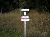 2
2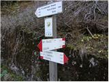 3
3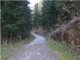 4
4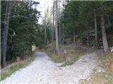 5
5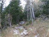 6
6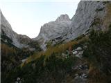 7
7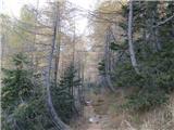 8
8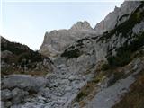 9
9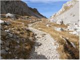 10
10 11
11 12
12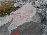 13
13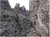 14
14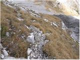 15
15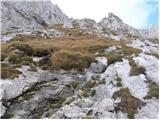 16
16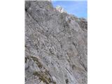 17
17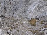 18
18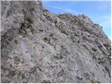 19
19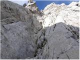 20
20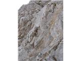 21
21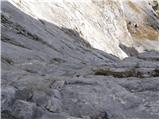 22
22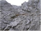 23
23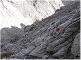 24
24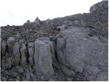 25
25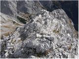 26
26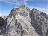 27
27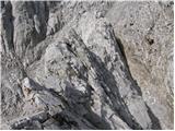 28
28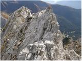 29
29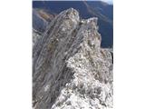 30
30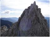 31
31 32
32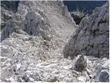 33
33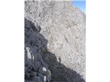 34
34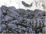 35
35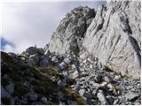 36
36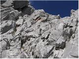 37
37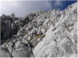 38
38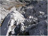 39
39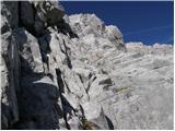 40
40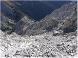 41
41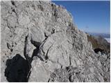 42
42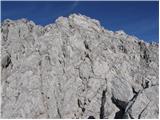 43
43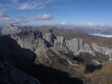 44
44 45
45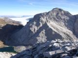 46
46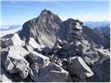 47
47