Rimske Toplice - Kopitnik (via Ogeški potok)
Starting point: Rimske Toplice (213 m)
Starting point Lat/Lon: 46.1208°N 15.2007°E 
Path name: via Ogeški potok
Time of walking: 2 h 5 min
Difficulty: partly demanding marked way
Difficulty of skiing: no data
Altitude difference: 697 m
Altitude difference (by path): 715 m
Map: Posavsko hribovje - zahodni del 1:50.000
Access to starting point:
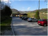
A) From the Ljubljana - Maribor highway, take the Celje - center exit, then continue driving in the direction of Laško and later Rimske Toplice. At the end of the settlement Rimske Toplice (immediately after the intersection, where left over the bridge the road branches off towards the village Globoko and Rimske Toplice railway station) turn sharply right in the direction of Rimske terme. Drive a further few tens of metres, then arrive at the next intersection, by which park (near the starting point there is a Tuš store).
B) From Zasavje first drive to Hrastnik, then continue driving towards Celje. When arriving in Rimske Toplice, at the main intersection turn right in the direction of Zidani Most. At the end of the settlement Rimske Toplice (immediately after the intersection, where left over the bridge the road branches off towards the village Globoko and Rimske Toplice railway station) turn sharply right in the direction of Rimske terme. Drive a further few tens of metres, then arrive at the next intersection, by which park (near the starting point there is a Tuš store).
C) From the Posavje direction first drive to Zidani Most, then continue driving towards Celje. When arriving in Rimske Toplice pay attention, as at the beginning of the settlement turn left in the direction of Rimske terme (leave the main road only a few metres before the place where right over the bridge the road branches off to the village Globoko). Drive a further few tens of metres, then arrive at the next intersection, by which park (near the starting point there is a Tuš store).
Path description:
From the starting point, head to the road that continues along a smaller stream (direction Kopitnik). The road quickly brings us to the nearby residential house, behind which it changes into a moderately steep mountain path. For a short time continue along the stream, then the markers direct us right onto the slope, across which we begin to ascend more steeply. A little higher, the path brings us out of the forest, then past a cross and the next residential house brings us to an asphalt road. Follow the road uphill, then at the next intersection right in the direction of Kopitnik. A few minutes more continue on the road, then arrive at the marked junction.
At the junction leave the asphalt road and continue right on the footpath in the direction "Kopitnik - koča" (straight Kopitnik and Stražnik). The path ahead ascends transversely to the right, soon levels out and joins a poorer forest road, which we follow to its end.
From the end of the road continue on the well-trodden path, which starts to ascend moderately to occasionally steeply through the forest. Higher the path leads us past "patches" of wild garlic, then joins a cart track, which we follow to the right. The cart track soon turns quite to the right and ascends transversely to a less steep slope, where we step to the edge of the forest. Here the path turns left and gradually widens into a macadam road. A little further the path from Šmarjeta joins from the right, we continue straight to the nearby farmstead at Izeri.
At the farmstead the road becomes asphalt, which we walk only a few metres, then the sign on the tree "koča" directs us left into the forest. Further ascend briefly through the forest, then join the path from the villages Marno and Turje. From the junction ahead step out of the forest, a gentle path continuing across a larger meadow brings us in a few minutes to Koča na Kopitniku.
From Koča na Kopitniku continue left, initially even slightly downhill, then the trail becomes more distinct and starts to ascend. After a short ascent step onto the road and follow it left. The path ahead leads us past the forestry hut, behind which from the right the path from Zidani Most joins. Here continue straight, then at the next junction slightly left in the direction of the summit. The path continues in a gentle ascent through the forest, then descends for a few metres. A short ascent follows and the path brings us to the ridge, where the path from Lukovško sedlo (starting point Rimske Toplice) also joins.
Here continue right on a narrow and partly precipitous ridge, along which we continue the path. Because the path further is wide enough and at exposed places also secured with a steel cable, the ascent to the summit of Kopitnik in snow-free conditions does not present major difficulties.
Pictures:
 1
1 2
2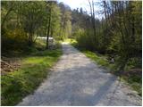 3
3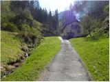 4
4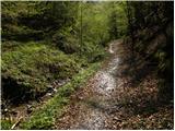 5
5 6
6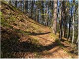 7
7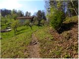 8
8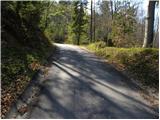 9
9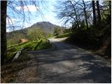 10
10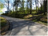 11
11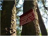 12
12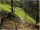 13
13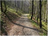 14
14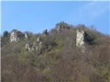 15
15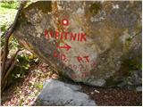 16
16 17
17 18
18 19
19 20
20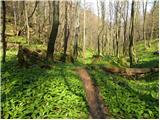 21
21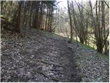 22
22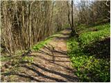 23
23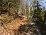 24
24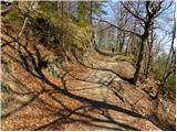 25
25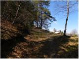 26
26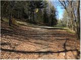 27
27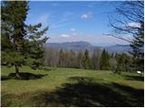 28
28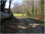 29
29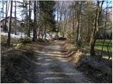 30
30 31
31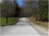 32
32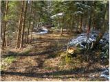 33
33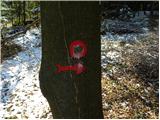 34
34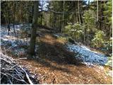 35
35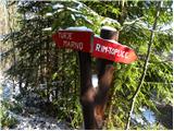 36
36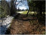 37
37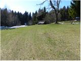 38
38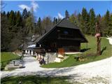 39
39 40
40 41
41 42
42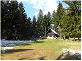 43
43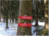 44
44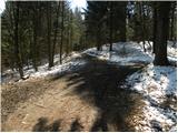 45
45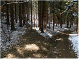 46
46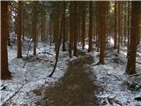 47
47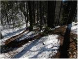 48
48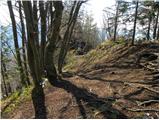 49
49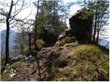 50
50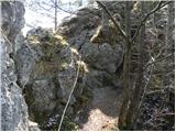 51
51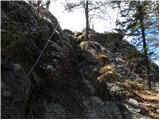 52
52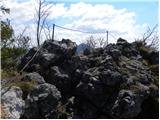 53
53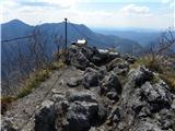 54
54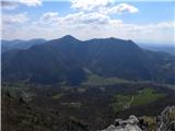 55
55