Robanov kot (Belšek) - Križevnik (via Belšekova planina)
Starting point: Robanov kot (Belšek) (587 m)
Path name: via Belšekova planina
Time of walking: 4 h
Difficulty: difficult pathless terrain
Difficulty of skiing: no data
Altitude difference: 1322 m
Altitude difference (by path): 1322 m
Map:
Access to starting point:
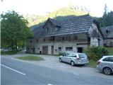
We drive to Luče (to here from Mozirje or over mountain pass Volovljek) and forward towards the valley Logarska dolina. Approximately 100 meters after the wooden sign "Robanov kot" on the left side by the road there is farm Belšek. We park at the bridge, there is enough space for one car.
Path description:
After the farm Belšek we go on the road left gently upwards. We walk on the road about 25 minutes. The road turns right and passes into a cart track, at the crossing of cart tracks we go right. The cart track is becoming increasingly steep. From the main cart track, side cart tracks are branching off, we stick to the main cart track. In zig-zags we are ascending upwards, after a good hour of walking at first a cart track branches off to the right, then to the left, we go all the time straight. The cart track flattens, and then slightly descends. Right below the cart track we can hear a source or a well. Few meters further below the cart track, there are remains of a hut, we are at the remains of the mountain pasture Belšekova planina. To here 1h 20min.
Above the source at the big rock (above the cart track) right from the rock we can see a gully. We go upwards. We walk by the gully on the right side without a path steeply upwards. At first the gully is indistinct, and higher it is more and more distinct. When we get almost to the upper walls, we will notice a footpath which goes left into a gully (from the road good 200 altitude meters). There we descend into a gully and we walk there upwards. From the road, we can go also left by the gully, to the rock barrier and on a deer path right into a gully (into the gully we enter a little lower as if we go right by the gully). In the gully there are several smaller jumps, which we can climb (I) or bypass through dwarf pines. Through the gully we walk approx. 200 altitude meters, we stick more to the right. On the top of the gully, we step on the edge of plateau. To here 2h 40min.
We will notice cutted dwarf pines. At first there isn't any footpath, we walk approximately in the direction of south/southwest. After approx. 50 meters the footpath becomes better visible. We follow a well-beaten footpath on basin terrain through cutted dwarf pine among larches all the way to the mountain pasture Polšakova planina. (When we are returning back, the direction is exactly towards Raduha). On the mountain pasture, we turn sharply right, and on its edge we will notice a footpath. There we go on a well-beaten footpath. At the big grassy hollow we go right, towards the edge and then right upwards by the ridge. The path is cutted out through dwarf pines and runs a little below the ridge, we stick more to the right. On the top used to be miniature Aljaž turret, now there is a wooden cross.
Pictures:
 1
1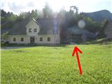 2
2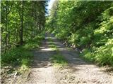 3
3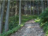 4
4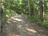 5
5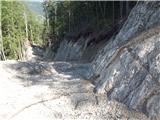 6
6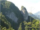 7
7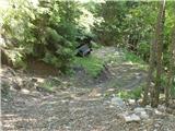 8
8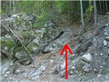 9
9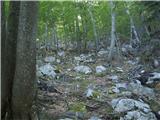 10
10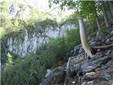 11
11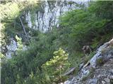 12
12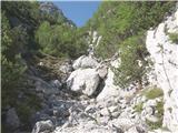 13
13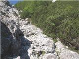 14
14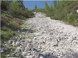 15
15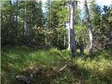 16
16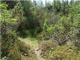 17
17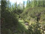 18
18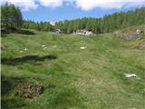 19
19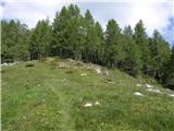 20
20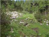 21
21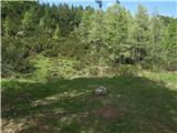 22
22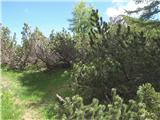 23
23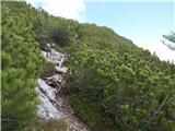 24
24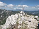 25
25