Robanov kot - Križevnik (Križevnik past partisan hospital)
Starting point: Robanov kot (650 m)
Path name: Križevnik past partisan hospital
Time of walking: 5 h
Difficulty: difficult pathless terrain, difficult unmarked way
Difficulty of skiing: no data
Altitude difference: 1259 m
Altitude difference (by path): 1259 m
Map: Kamniške in Savinjske alpe 1:50.000
Access to starting point:
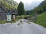
We drive to Luče (to here from Mozirje or over mountain pass Volovljek) and forward towards the valley Logarska dolina. From the main road, we turn towards Robanov kot. After approximately 1200 meters of asphalt we get to the parking lot at the farm Robanova kmetija where we park.
Path description:
We go on a macadam road towards Robanova planina. At first past a meadow and then through the forest in 10 minutes we come to a crossing: straight ahead Robanova planina, and we turn left in the direction of partisan hospital. We soon step on a wide gravel terrain, we continue straight in the direction of a bigger rock with a blaze, and then towards the left a little less than 100 meters where blazes point us left into the forest. The path is at first gentle, and then becomes increasingly steep. After 45 minutes we are at partisan hospital, the marked path ends here. And our path goes ahead straight upwards or left by the forested broad ridge. After about 50 altitude meters, the path turns right. We cross a slope to the forested broad ridge, then we descend a little and we cross two gullies. In the second gully on a big boulder there is orange red trail blaze. It is intended for climbers, because through the gully left upwards leads the access to the mountain wall. And we go right through the gully in the direction of cutted trees. The path continues through the forest to the saddle, where we turn left on a forested broad ridge (behind us there is a big rock - picture 18). The path passes on grass terain, follows traversing of a steep slope. Further to a small saddle and before the panoramic edge (picture 22) we go left, in zig-zags among trees and rocks to anothersmall saddle with a panoramic edge (picture 23). From here we already see the gully with a large rocky barrier, we continue left through the grass and the forest to a gully. We cross the gully and we go past trunk with black plastic tube on the top. We turn left upwards on a steep slope (27) to a small saddle, and from there we go diagonally left upwards(28) past tree branch of an unusual shape (29). We continue left upwards without the path through the forest to the next forested saddle, there we go left and we descend approximately 70 altitude meters on a steep slope (30) towards the steep gully left. In the gully there is a rocky jump (31), approximately 10 meters below it we look for a passage (32) to the other side where the footpath leads among dwarf pines. The path (33) leads us among dwarf pines to the bottom of a big hollow (amphitheater), we continue towards the right. On the path we cross the gully and we turn into the forest. Steep slope higher ends with rocks, we look for a passage (37) and we continue through dwarf pines towards the left, where we again run into a footpath. We go below the wall left (38). We continue mostly by the wall and passages in dwarf pines. The footpath where it is still visible is mostly overgrown, we walk on pathless terrain. We cross a bigger gully (41), on a vegetated broad ridge a view opens up (42) on the footpath towards the next bigger gully. From the broad ridge we descend through dense dwarf pines and we step on a well visible footpath. It leads us by a wall and through dwarf pines into a gully, here the path ends. We cross the gully and we continue just by the wall around the edge to the next gully. Through the gully in easy climbing (I) 30 meters left upwards (43). On the right we will notice a footpath, this is the approach past Robanova planina.
Through the gully (44) we go 20 meters more upwards and then diagonally left over the vegetated edge, where we get to the footpath which brings us to the steep grassy gully. Through the gully we ascend straight upwards, higher we turn towards the left to the grassy edge (47). Here we again step on the footpath, the path ahead is mostly well visible and we also get help from cutted branches. Higher, the path is steeper, it is cutted through dwarf pines. Above the big red rocky hollow we still continue through cutted dwarf pines steeply upwards to a smaller clearing, where through a short lane of dwarf pines we step on the path which comes from the mountain pasture Polšakova planina. We turn left and we stick to cutted path to the top.
Pictures:
 1
1 2
2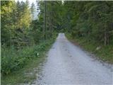 3
3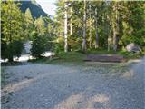 4
4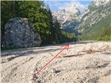 5
5 6
6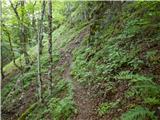 7
7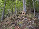 8
8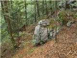 9
9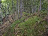 10
10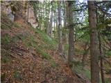 11
11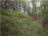 12
12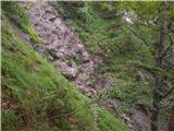 13
13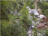 14
14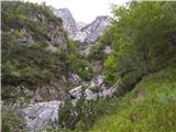 15
15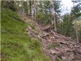 16
16 17
17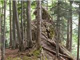 18
18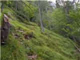 19
19 20
20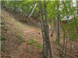 21
21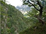 22
22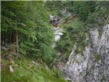 23
23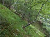 24
24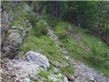 25
25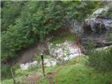 26
26 27
27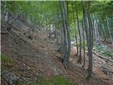 28
28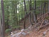 29
29 30
30 31
31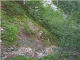 32
32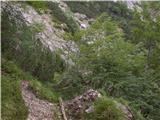 33
33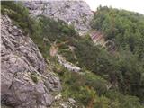 34
34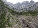 35
35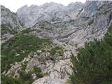 36
36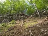 37
37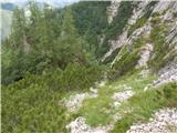 38
38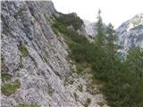 39
39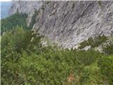 40
40 41
41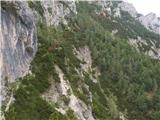 42
42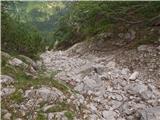 43
43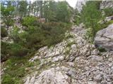 44
44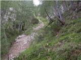 45
45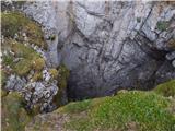 46
46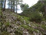 47
47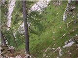 48
48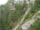 49
49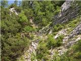 50
50 51
51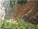 52
52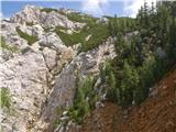 53
53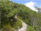 54
54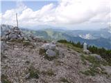 55
55 56
56 57
57