Rožna dolina - Šišenski hrib (Rožnik) (via Cankarjev vrh)
Starting point: Rožna dolina (300 m)
Starting point Lat/Lon: 46.0559°N 14.4812°E 
Path name: via Cankarjev vrh
Time of walking: 40 min
Difficulty: easy marked way
Difficulty of skiing: easily
Altitude difference: 129 m
Altitude difference (by path): 150 m
Map: Ljubljana 1:20.000
Access to starting point:
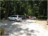
From Ljubljana Zoo we drive towards Tivoli. We will soon get to a crossroad, where left slightly upwards a road branches off towards Rožnik. We go on this road and we follow it to appropriate parking space.
Path description:
From the parking lot, we continue on a macadam road which already after few meters brings us to the information board, which marks landscape park Tivoli, Rožnik and Šišenski hrib. At the sign road turns to the left and starts ascending steeper. After approximately 15 minutes of ascent the road flattens and brings us on the periphery of forest. Here we leave the road and we continue right on a wide footpath, on which in few 10 strides of ascent we ascend to the church on Rožnik.
From the church, we continue ahead and the path brings us to the inn on Rožnik, where we again step on a macadam road (to here possible also on the road which bypasses the church). We continue on the road which a little ahead turns slightly to the right and starts descending. After a short descent, the road steeply ascends and higher brings us to a crossroad by which we notice monument of the fallen in war for Slovenia. We continue left (straight Tivoli) on the road which after good 5 minutes of additional walking brings us to the summit of Šišenski hrib, which is the highest peak of Rožnik (ascent on the very peak is prevented by the fence).
On the way: Cankarjev vrh (394m)
Pictures:
 1
1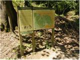 2
2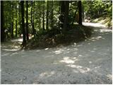 3
3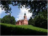 4
4 5
5 6
6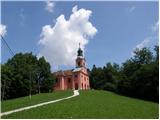 7
7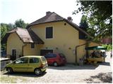 8
8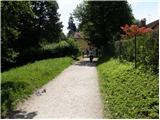 9
9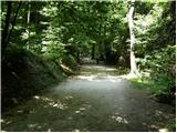 10
10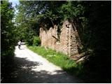 11
11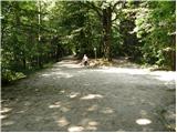 12
12 13
13 14
14 15
15