Rudnik v Topli - Matjaž Cave
Starting point: Rudnik v Topli (1080 m)
| Latitude/Longitude: | 46,48590°N 14,76470°E |
| |
Walking time: 2 h
Difficulty: difficult marked way
Elevation gain: 590 m
Elevation difference along the route: 650 m
Map: Kamniške in Savinjske Alpe 1:50.000
Recommended equipment (summer): helmet
Recommended equipment (winter): helmet, ice axe, crampons
Views: 8.999
 | 2 people like this post |
Access to starting point:
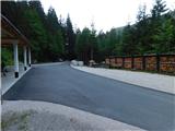
a) We drive to Črna na Koroškem (here from Raven na Koroškem or from Šoštanj via the Spodnje Sleme pass), then continue driving towards Koprivna. We then ascend along the Meža river and drive along it to the junction where the road to the Topla valley branches off to the right. The path ahead leads us along the Topla stream, and we drive along the ascending asphalt road to the junction at the former mine in Topla (there is a sign for the Fajmut homestead by the road). Here we turn right, then park in a suitable place. We park so as not to obstruct the locals' work and leave the asphalt section free for driving and turning.
b) We drive to Luče (here from Mozirje or from Kamnik via the Volovljek pass (Kranjski Rak)), then continue driving towards Logarska dolina. In the village of Solčava we leave the main road towards Logarska dolina and continue right towards Podolševa, the Spodnje Sleme pass and Črna na Koroškem. The road then loses its asphalt surface, and after a few kilometres at the junction in Podolševa we turn right towards Črna na Koroškem. The road, which mainly ascends transversely, takes us after some time to the Spodnje Sleme pass. From the pass the road begins to descend, and we follow it towards Črna na Koroškem. After descending into the valley after a few kilometres, at the junction we turn right towards Črna na Koroškem (left Koprivna). We descend along the main road for only a short time, then the signs for the Topla valley direct us left onto the ascending road. The path ahead leads us along the Topla stream, and we drive along the ascending asphalt road to the junction at the former mine in Topla (there is a sign for the Fajmut homestead by the road). Here we turn right, then park in a suitable place. We park so as not to obstruct the locals' work and leave the asphalt section free for driving and turning.
Route description:
From the place where we parked, we first walk to the farm building, where the signs for Dom na Peci direct us onto the path that ascends across the pasture (at the entrance to the pasture there is a warning that we enter the pasture area at our own risk). We quickly reach a poorer road and continue the ascent along it. After a few serpentines, a marked but subsequently unmarked path branches off to the left towards Knepsovo sedlo, while we continue along the road to a larger scenic pasture, where we go slightly right from the road onto a cart track that also descends somewhat transversely.
After a few minutes of crossing we reach another pasture, where we come to the next warning that we may encounter a sheepdog, i.e. a dog that guards sheep (in July 2026 there were neither sheep nor a dog). When we leave the pasture, the cart track takes us into the forest. Before it starts to descend, we go left onto a footpath that subsequently crosses the slopes to the right, and for a short time also leads under smaller cliffs, where there is an increased risk of falling rocks especially in spring and after rain. This is followed by a well-arranged and undemanding crossing of a torrent, then we begin to ascend transversely through the forest, where we cross a few steps long passage over sliding sand, but the path is well arranged so that the passage does not cause difficulties. The transverse path then takes us to an already quite overgrown cart track, along which we ascend for a few minutes, then we go left onto a footpath that a little further crosses the mentioned cart track. Our path subsequently ascends steeply to a mighty torrent, which in the past has already changed the course of the marked path several times, most recently during the floods in 2023, when the riverbed deepened by several metres in certain parts. Here we first descend lightly to the torrent, cross it, and on the other side we first ascend along a newly laid mountain path that takes us along the torrent to the place where protections help us. Here we first ascend above the torrent's waterfall, then with the help of pitons and a steel cable we ascend steeply for a few metres, where the path already passes among dwarf pines and later into the forest.
Through the forest we again ascend transversely to the right, and higher up a bit of a view opens from the path.
Somewhere at an altitude of 1670 metres, an abandoned path with a starting point at the Burjak homestead joins from the right (the path junction is barred with branches), and we then ascend in a few minutes to the southern ridge of Mala Peca, where a marked junction is located.
We continue right towards the Votlina Kralja Matjaža (left Mala Peca 3 minutes, straight Dom na Peci 5 minutes) and descend slightly to the next junction. We go right again (left Dom na Peci) and after a few minutes of crossing or slight descent we arrive at the Votlina Kralja Matjaža.
The description and photos refer to the situation in July 2018 and July 2026.
Photos:
 1
1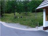 2
2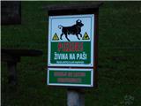 3
3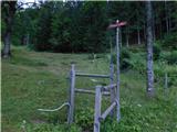 4
4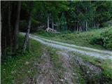 5
5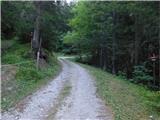 6
6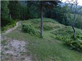 7
7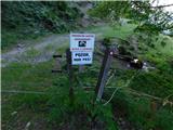 8
8 9
9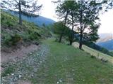 10
10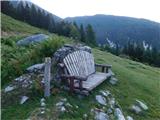 11
11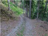 12
12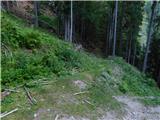 13
13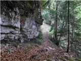 14
14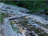 15
15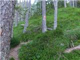 16
16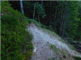 17
17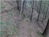 18
18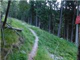 19
19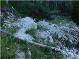 20
20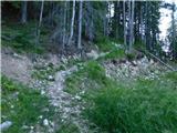 21
21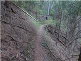 22
22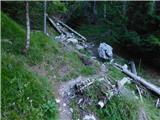 23
23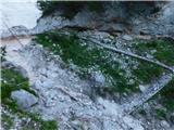 24
24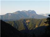 25
25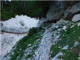 26
26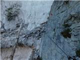 27
27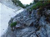 28
28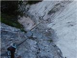 29
29 30
30 31
31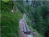 32
32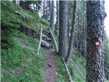 33
33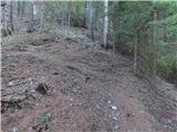 34
34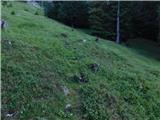 35
35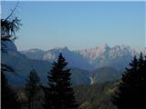 36
36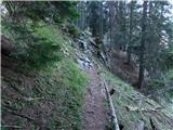 37
37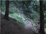 38
38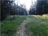 39
39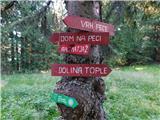 40
40 41
41 42
42 43
43 44
44 45
45
Discussion about the trip Rudnik v Topli - Matjaž Cave
To post a comment you must log in:
If you do not yet have a username, you must first
register.