Ruše - Ruška koča na Arehu
Starting point: Ruše (308 m)
Starting point Lat/Lon: 46.53857°N 15.51315°E 
Time of walking: 2 h 45 min
Difficulty: easy marked way
Difficulty of skiing: no data
Altitude difference: 938 m
Altitude difference (by path): 938 m
Map: Pohorje 1:50.000
Access to starting point:
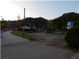
A) We drive to Maribor, and then we follow the signs for Ruše. When we get to Ruše, we park on one of the parking lots in the settlement, best near the post office Ruše.
B) From the road Dravograd - Maribor, after the settlement Selnica ob Dravi we drive right towards Ruše. Next follows driving through the bridge over the river Drava (bridge is expected to be closed until 31/10/2022), and then we already get to Ruše, where we park on one of the parking lots in the settlement, best near the post office Ruše.
Path description:
From the spot, where we've parked, we at first walk to square Trg vstaje, where we notice red hiking signposts, and we go on the road in the direction of Ruška koča, Glažuta and Martnica. A short time we walk on an asphalt road towards Lobnica, and then blazes point us to the left, where we at first ascend among houses, and then the path goes into the forest. After few minutes of the ascent, we get to a viewpoint, from which a nice view opens up on Ruše, surrounding places and Kozjak and by which there are situated three crosses. The path ahead returns into the forest and it ascends to an asphalt road which we follow to the left. Next follows a walk on the asphalt road, where we go past individual houses, and higher we get to a smaller saddle, by which there is a cross.
We continue slightly right on a marked road (sharply left - Lorbekov vrh and homestead Dobnik), and from which already after few steps we go once again right on a worse road, on which we short time continue, and then blazes lead us left into the forest, through which we are for some time ascending steeper, and then we quickly return on the road which we follow to the left. The road quickly turns to the right and it brings us to the nearby house, where we ascend through the yard.
Above the house, we for some time continue by the edge of the forest and then at the chapel we reach another road, and we continue right to the nearby asphalt road, where we go left. On the road in few 10 strides we get to Martnica, and nice view opens up towards the valley and Kozjak. A little further, we go from the road right and we are ascending below a power line, and a little higher we cross the road, and few steps ahead we reach another road. We continue on the road which splits, and we go slightly right towards Areh and hunting cottage (slightly left - farm Čander). Further follows few more crossings, where we follow the signs for Areh (a path branches off to the left towards Glažuta, and to the right a little further, the path towards the hunting cottage).
Before the farm Hleb we leave the road and we go right on a marked footpath which continues through the forest and which on the right side bypasses the mentioned farm. Few minutes higher we reach NOB monument, and after the monument we cross a wider macadam road. Only a little further, we once again cross the road, and then follows a longer walk through the forest, where we follow the blazes. Higher, we cross a ski track, and then through the forest we ascend to hotel Areh, after which we get to a marked crossing.
We continue straight across the asphalt road in the direction of Ruška koča (right - Žigartov vrh, waterfall Šumik..., left - Mariborska koča) to which we get into two minutes of additional walking.
Ruše - Martnica 1:00, Martnica - Areh 1:45.
Description and pictures refer to a condition in May 2022.
On the way: Lobnica (482m), Martnica (682m)
Pictures:
 1
1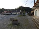 2
2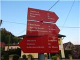 3
3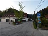 4
4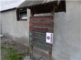 5
5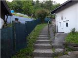 6
6 7
7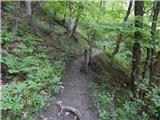 8
8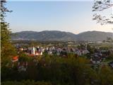 9
9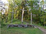 10
10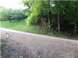 11
11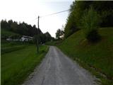 12
12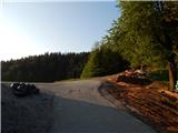 13
13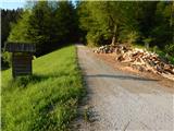 14
14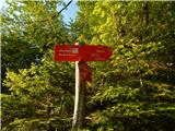 15
15 16
16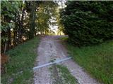 17
17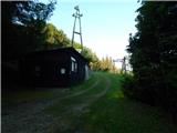 18
18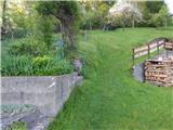 19
19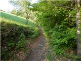 20
20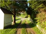 21
21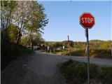 22
22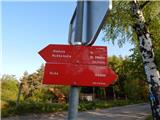 23
23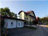 24
24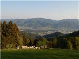 25
25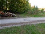 26
26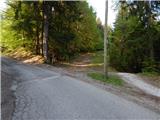 27
27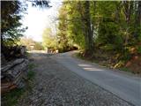 28
28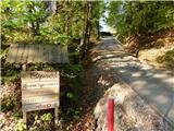 29
29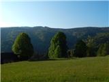 30
30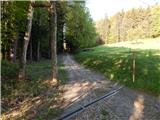 31
31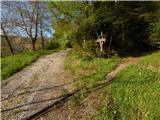 32
32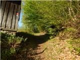 33
33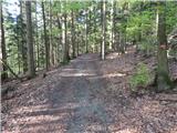 34
34 35
35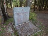 36
36 37
37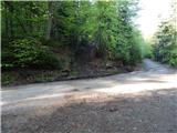 38
38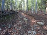 39
39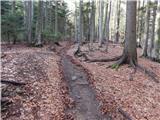 40
40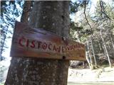 41
41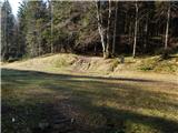 42
42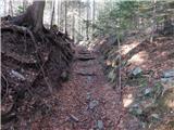 43
43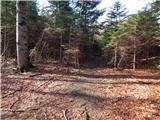 44
44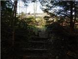 45
45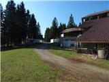 46
46 47
47 48
48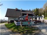 49
49