Selca - Miklavška gora (footpath)
Starting point: Selca (430 m)
Starting point Lat/Lon: 46.222°N 14.1934°E 
Path name: footpath
Time of walking: 1 h 25 min
Difficulty: easy marked way
Difficulty of skiing: partly demanding
Altitude difference: 525 m
Altitude difference (by path): 525 m
Map: Škofjeloško in Cerkljansko hribovje 1:50.000
Access to starting point:
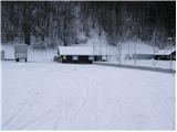
From Škofja Loka we drive towards Železniki or vice versa. Only about 500 meters after (or before, if we come from the direction of Železniki) village Selca we notice the sign with the caption "športni park Rovn" (sports park Rovn), which points us to the left (from Železniki right). We park on a parking lot near the mentioned sports park.
Path description:
From the parking lot, we at first walk to the hut of Kennel Club (it is situated on the left - eastern side of the park). Here we will notice a steep cart track which goes sharply right upwards. Already after few steps of ascent, we notice the first green-yellow blaze. The cart track is then ascending diagonally and higher brings us to a crossing, where we continue on the right marked but a little worse cart track. For some time well-marked path then leads us past few smaller crossings and a little higher brings us to a larger clearing which the path bypasses on the left side. After that, the path crosses a shorter lane of a forest after which we step on the next grassy slope on which we ascend to the saddle between Zavrnik (762m) on the left and Miklavška gora on the right.
On the saddle, the path turns right and steeply ascends through a dense forest. Higher, the path crosses a cart track (badly marked) and is then still steeply ascending. The steepness of the path decreases only at the transmitter, where we also step out of the forest. Follows only a little less than 5 minutes long ascent on the more and more panoramic slope to the top of Miklavška gora.
Pictures:
 1
1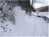 2
2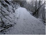 3
3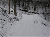 4
4 5
5 6
6 7
7 8
8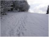 9
9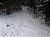 10
10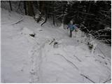 11
11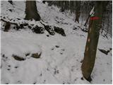 12
12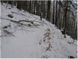 13
13 14
14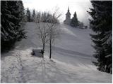 15
15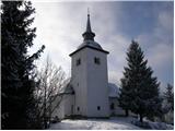 16
16