Sele-Zvrhnji Kot (Male) / Zell-Oberwinkel (Male) - Veliki vrh (Košuta)
Starting point: Sele-Zvrhnji Kot (Male) / Zell-Oberwinkel (Male) (666 m)
Starting point Lat/Lon: 46.4723°N 14.3334°E 
Time of walking: 4 h 35 min
Difficulty: very difficult marked way
Difficulty of skiing: no data
Altitude difference: 1422 m
Altitude difference (by path): 1435 m
Map: Karavanke 1:50.000 - osrednji del
Access to starting point:
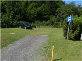
From highway Ljubljana - Jesenice we go to the exit Ljubelj (Tržič), and then we continue driving in the direction of Celovec / Klagenfurt. After Ljubelj tunnel the road starts descending, and we follow it to the settlement Podljubelj / Unterloibl, where we continue right in the direction of the settlement Borovlje / Ferlach (by the crossroad there are also signs for store Hofer). Lower, we cross also railway track, and then in next a little larger crossroad we go right in the direction of the settlement Sele / Zell. The road then leads us past the store Eurospar, after that Borovlje slowly ends. Further, the road leads through the settlement Bajdiše / Waidisch. A little further from the mentioned settlement we leave the main road which leads towards the settlement Sele-pri Cerkvi / Zell-Pfarre and we continue driving right in the direction of the settlement Sele-Zvrhnji Kot / Zell-Oberwinkel. The road then leads us past individual houses, and then we get to a crossroad, by which there are situated yellow signposts (by signs there is the beginning of the described path), and we drive good 100 meters ahead, to a marked parking lot after school Ljudska šola / Volksschule.
Path description:
From the marked parking lot, we return on an asphalt road to a marked crossroad, and from there we continue in the direction of Košutica (Ljubeljska baba) / Loibler Baba. The path ahead leads us on a macadam road which is with a traffic sign closed for public traffic. The road little ahead over a bridge crosses the stream Hajnžev graben, and then leads us past few more houses. A little higher blazes from the road point us slightly to the left, on a footpath which then through a small wooden bridge once again crosses the mentioned stream. The path continues by scenic stream, for some time on the right and for some time on the left bank, meanwhile the path leads us also past a smaller, but usually quite water rich waterfall. Above the waterfall the stream becomes for some time less rapid, and the path quite gentle. Later, the path leads also over some bridges, and stream again becomes more scenic. When we eventually reach the macadam road we follow it to the left and then we quickly get to a marked crossing.
From the crossing, we continue right (left mountain hut Koča pod Košuto / Koschutahaus), past mill and over a bridge. The path ahead leads through the forest and then we get to gravel terrain, where the footpath for some time vanishes. Some 10 meters further we step on other macadam road, and there we walk to the nearby crossroad, from which we go left in the direction of Košutica (straight farm Hajnž).
The path ahead leads us on a macadam road, on which we walk to a smaller meadow. In the middle of a meadow, where the road turns slightly right, we continue slightly left on a cart track, and from the cart track little ahead slightly right on a footpath. The path ahead for the first time steeply ascends, and after few minutes it returns on the road. We follow the road to the left, and after nearby right turn we leave it and we continue left in the forest. A few minutes of ascent through the forest follows, and then the path again flattens and it brings us to a marked crossing.
From the crossing, we continue left in the direction of saddle Hajnževo sedlo, Veliki vrh and Košutica (right Ljubelj and Košutica) on at first gently sloping path, which brings us by the foot of the scree. Over bottom part of the scree we are moderately ascending towards the right, and then we pass on the scree below the saddle Hajnževo sedlo, where the path becomes steeper. Next follows an ascent on and by scree, and then we get into a lane of dwarf pines, through which we then ascend to a saddle Hajnževo sedlo, where there is also the national border and from where a beautiful view opens up.
From the saddle, we continue left, where we short time still continue on a panoramic ridge and then we enter the climbing part of the path, where the path with the help of fixed safety gear starts steeply ascending. Technically demanding part is especially in wet dangerous for slipping, and the path from the saddle ahead exposed to falling stones. Higher fixed safety gear end, and the path from the wall passes on steep slopes, through which with increasingly beautiful views we ascend on Veliki vrh.
Sele-Zvrhnji Kot - Hajnževo sedlo 3:30, Hajnževo sedlo - Veliki vrh 1:05.
Pictures:
 1
1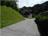 2
2 3
3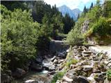 4
4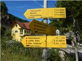 5
5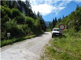 6
6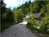 7
7 8
8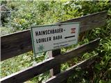 9
9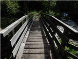 10
10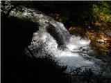 11
11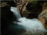 12
12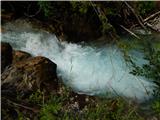 13
13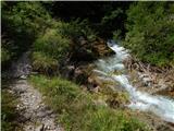 14
14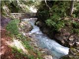 15
15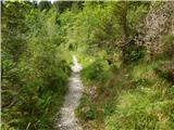 16
16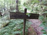 17
17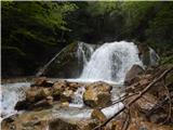 18
18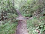 19
19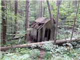 20
20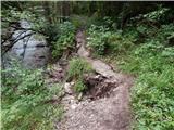 21
21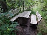 22
22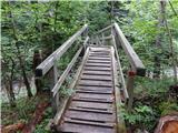 23
23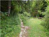 24
24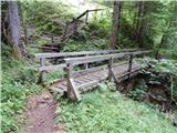 25
25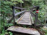 26
26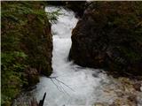 27
27 28
28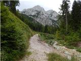 29
29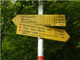 30
30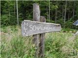 31
31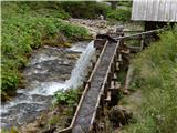 32
32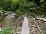 33
33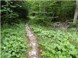 34
34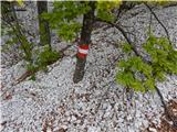 35
35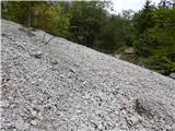 36
36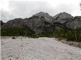 37
37 38
38 39
39 40
40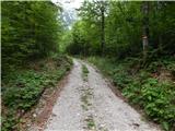 41
41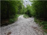 42
42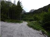 43
43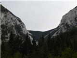 44
44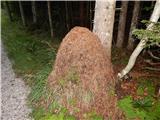 45
45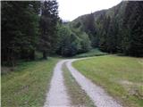 46
46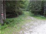 47
47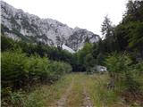 48
48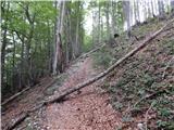 49
49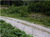 50
50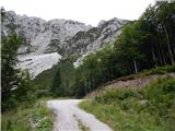 51
51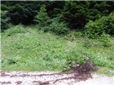 52
52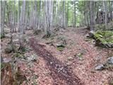 53
53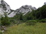 54
54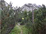 55
55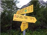 56
56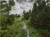 57
57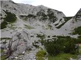 58
58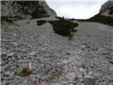 59
59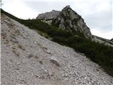 60
60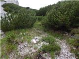 61
61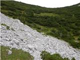 62
62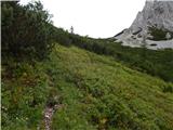 63
63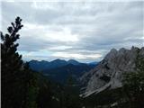 64
64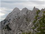 65
65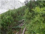 66
66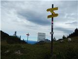 67
67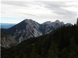 68
68 69
69 70
70 71
71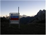 72
72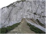 73
73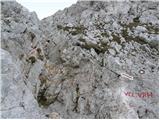 74
74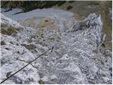 75
75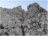 76
76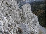 77
77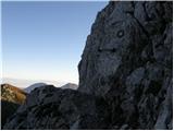 78
78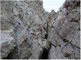 79
79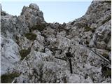 80
80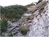 81
81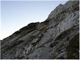 82
82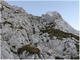 83
83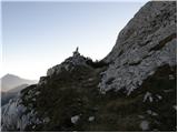 84
84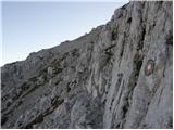 85
85 86
86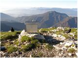 87
87 88
88