Selnica ob Dravi - Sv. Janez Krstnik (Janževa Gora)
Starting point: Selnica ob Dravi (315 m)
Starting point Lat/Lon: 46.55191°N 15.49326°E 
Time of walking: 20 min
Difficulty: easy marked way
Difficulty of skiing: no data
Altitude difference: 89 m
Altitude difference (by path): 89 m
Map: Pohorje 1:50.000
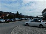
Access to starting point:
Path description:
Pictures:
 1
1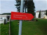 2
2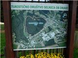 3
3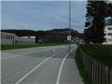 4
4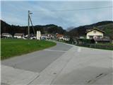 5
5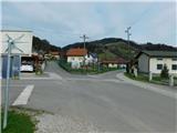 6
6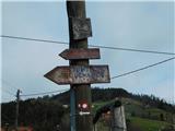 7
7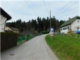 8
8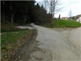 9
9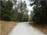 10
10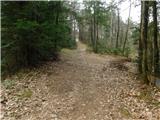 11
11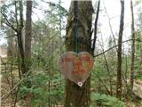 12
12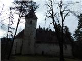 13
13