Selo (log cabin TIC Selo) - Makotrov breg
Starting point: Selo (log cabin TIC Selo) (251 m)
Starting point Lat/Lon: 46.73556°N 16.29205°E 
Time of walking: 25 min
Difficulty: easy marked way
Difficulty of skiing: no data
Altitude difference: 68 m
Altitude difference (by path): 70 m
Map: Pomurje 1:40.000
Access to starting point:
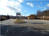
From the road Murska Sobota - Moravske Toplice, we drive to the settlement Martjanci, where at the crossroad we turn left in the direction of Sebeborci (from the direction Moravske Toplice - right). Further, we drive through Sebeborci, Andrejci, Fokovci to Selo, where the road starts descending. Lower, we cross the stream Kobiljski potok and only a little further we get to the parking lot at log cabin TIC Selo, where we park.
Path description:
From the parking lot, we walk to the log cabin, where there is a stamp of extended Slovenian mountain hiking trail, and from there we continue on a well-settled walking path, on which in few minutes we get to rotunda of St. Nikolaj in Selo.
From the rotunda few 10 strides we continue towards the nearby cemetery, and then we go slightly left and we slightly descend to the nearby pond, where we step on the asphalt road. We follow the road to the right and we start ascending there, and during the ascent, we are accompanied by occasional learning information boards of Geographical learning trail Selo. Little further we get to a hamlet with few houses, where there is fruit farm Filo. Here the road turns right and a little ahead becomes a macadam, and it leads us through a bigger orchard. When the orchard ends we step into the forest, and Makotrov breg is few more steps ahead.
The starting point - rotunda 0:03, rotunda - Makotrov breg 0:22.
Description and pictures refer to a condition in February 2022.
Pictures:
 1
1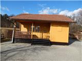 2
2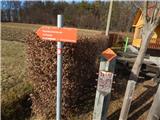 3
3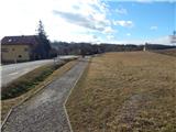 4
4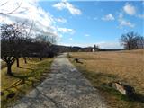 5
5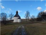 6
6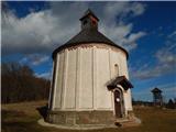 7
7 8
8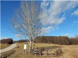 9
9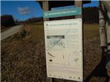 10
10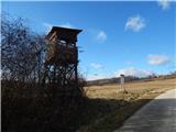 11
11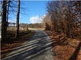 12
12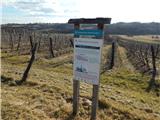 13
13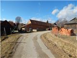 14
14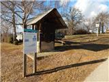 15
15 16
16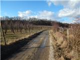 17
17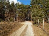 18
18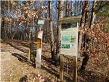 19
19 20
20 21
21