Selo pri Mirni - Sveti Peter (Selo pri Mirni)
Starting point: Selo pri Mirni (340 m)
Starting point Lat/Lon: 45.9778°N 15.0255°E 
Time of walking: 15 min
Difficulty: easy marked way
Difficulty of skiing: no data
Altitude difference: 105 m
Altitude difference (by path): 105 m
Map:
Access to starting point:
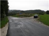
A) From highway Ljubljana - Obrežje we go to the exit Trebnje west, and then we continue driving towards Mirna. In Mirna we continue left in the direction of Gabrovka, and on the road we drive to the settlement Selo pri Mirni, or also a little further to the first smaller crossroad, where a worse macadam road branches off to the right. At the mentioned crossroad there are signs for hiking path Speča lepotica and a sign which marks the beginning of municipality Litija. We park on an appropriate place by the crossroad.
B) From highway Obrežje - Ljubljana we go to the exit Trebnje east, and then we continue driving towards Mirna. In Mirna we continue left in the direction of Gabrovka, and on the road we drive to the settlement Selo pri Mirni, or also a little further to the first smaller crossroad, where a worse macadam road branches off to the right. At the mentioned crossroad there are signs for hiking path Speča lepotica and a sign which marks the beginning of municipality Litija. We park on an appropriate place by the crossroad.
C) From Radeče or Sevnica we drive to Mirna, and from there we continue driving right in the direction of Gabrovka, and on the road we drive to the settlement Selo pri Mirni, or also a little further to the first smaller crossroad, where a worse macadam road branches off to the right. At the mentioned crossroad there are signs for hiking path Speča lepotica and a sign which marks the beginning of municipality Litija. We park on an appropriate place by the crossroad.
D) First, we drive to Litija, and from there we continue driving towards the settlement Šmartno pri Litiji and forward towards Gabrovka and Mirna. At the sign for the end of the municipality Litija a worse macadam road branches off to the left, by which there is also a sign for hiking path Speča lepotica. We park on an appropriate place by the crossroad.
Path description:
From the starting point, we go on a macadam road, by which we notice signs for hiking path Speča lepotica. The road at first runs between the mesh fence on the left and the meadow, later bushes on the right. When the macadam road or cart track splits, we continue right into the forest, where by the path, we also notice blazes. Gradually better macadam road soon changes into an asphalt and turns a little to the left. Next follows few minutes of walking through the village and on some parts panoramic road brings us to the church of St. Peter.
Description refers to a condition in the year 2014 (September).
Pictures:
 1
1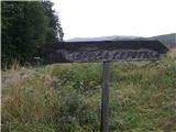 2
2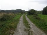 3
3 4
4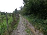 5
5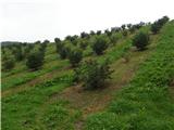 6
6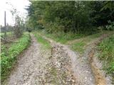 7
7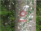 8
8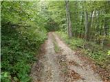 9
9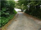 10
10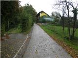 11
11 12
12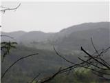 13
13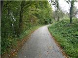 14
14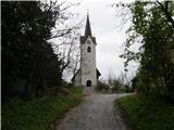 15
15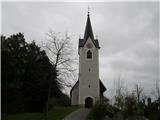 16
16