Šentjanž pri Dravogradu - Selovec (Gruberjev vrh) (on southeastern ridge)
Starting point: Šentjanž pri Dravogradu (354 m)
Starting point Lat/Lon: 46.56054°N 15.03561°E 
Path name: on southeastern ridge
Time of walking: 2 h
Difficulty: easy unmarked way
Difficulty of skiing: no data
Altitude difference: 531 m
Altitude difference (by path): 550 m
Map: Koroška 1:50.000
Access to starting point:
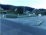
From Slovenj Gradec we drive towards Dravograd or vice versa, when we arrive at the settlement Šentjanž pri Dravogradu we turn left into the center of the settlement (from the direction of Dravograd or Otiški Vrh, right), where we pass the church of St. John the Baptist and drive to the parking lot at the primary school Šentjanž pri Dravogradu.
Path description:
At the starting point, there is an information board, or a kind of map with several options for reaching Selovec or Gruberjev vrh, and we begin the path by the primary school, where we walk on an asphalt road that soon turns sharply to the right, then ascends diagonally past individual houses towards the right.
We soon reach a marked crossroad with signs for homesteads, and we choose the left path, while signs for Gruberjev vrh also point to the right, as multiple paths lead to the summit.
Further on, we ascend diagonally towards the left for quite some time, and the path mainly leads through the forest, with only occasional views opening up on the other side of the valley.
When we reach the crossroad below the farm Čubej at an altitude of around 600 meters, we continue straight towards Sveta Neža, the farm Jamnik, and a few other farms (to the right: Zaberčnik, Rudof, Zdih, and Čubej). Next follows some gentle walking on a panoramic road, from which a beautiful view opens up towards Uršlja gora, and the path soon leads us below the farm Jamnik. This is followed by more traversing with a few short ascents and descents, and the path mostly continues through the forest; at crossroads, we follow the main road, which eventually brings us to the southern ridge of Selovec, where we leave the forest, and a view opens up towards Peca.
Here, just before the hamlet at the farm Judež, we leave the road and turn right onto a cart track that bypasses the first house on the right side, along the edge of the forest, and then we ascend along a forested ridge. Higher up, the path leads us past a wooden cross, and a little further on, a path joins from the right, which passes by the homestead Rudof.
We continue along the ridge, though occasionally we also slightly descend in the process. We follow this path, which leads through the forest, to the peak of Selovec, where there is a chapel, an inscription box, and several benches.
The description and pictures refer to the condition in December 2024.
Pictures:
 1
1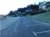 2
2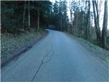 3
3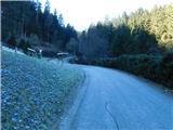 4
4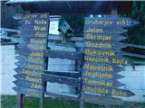 5
5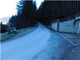 6
6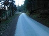 7
7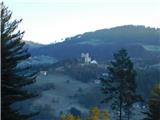 8
8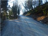 9
9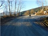 10
10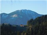 11
11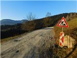 12
12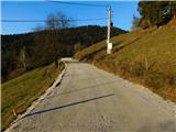 13
13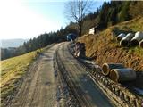 14
14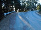 15
15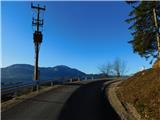 16
16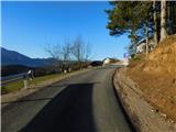 17
17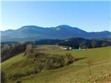 18
18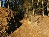 19
19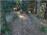 20
20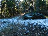 21
21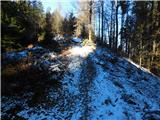 22
22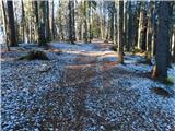 23
23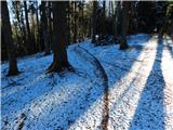 24
24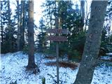 25
25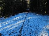 26
26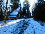 27
27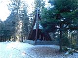 28
28 29
29