Skalnica - Frančiškov hrib (path through trenches)
Starting point: Skalnica (320 m)
Starting point Lat/Lon: 45.9872°N 13.6619°E 
Path name: path through trenches
Time of walking: 50 min
Difficulty: partly demanding marked way
Difficulty of skiing: no data
Altitude difference: 312 m
Altitude difference (by path): 320 m
Map: Goriška - izletniška karta 1:50.000
Access to starting point:
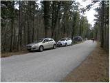
A) We drive to Nova Gorica, and then we continue driving towards Tolmin and Kobarid. Main road towards Tolmin we follow only to Solkan, where at the traffic light crossroad we continue right in the direction of Sveta Gora and Grgar. An ascending road further leads past the quarry Solkan, after that a little higher turns sharply to the right and it brings us to the inn Skalnica, behind which we continue slightly left in the direction of Sveta Gora. Further, we drive on a narrower asphalt road, by which we park on an appropriate place by the road (best before first cross, which we will notice on the left side of the road).
B) From Tolmin or Most na Soči we drive on the main road towards Nova Gorica, after that only a little before Nova Gorica, more precisely at the traffic light crossroad in Solkan we turn left in the direction of Sveta Gora and Grgar. An ascending road further leads past the quarry Solkan, after that a little higher turns sharply to the right and it brings us to the inn Skalnica, behind which we continue slightly left in the direction of Sveta Gora. Further, we drive on a narrower asphalt road, by which we park on an appropriate place by the road (best before first cross, which we will notice on the left side of the road).
C) From Goriška Brda we drive to Solkan, where at the first crossroad after new Solkan bridge we continue straight in the direction of Sveta Gora. An ascending road further leads past the quarry Solkan, after that a little higher turns sharply to the right and it brings us to the inn Skalnica, behind which we continue slightly left in the direction of Sveta Gora. Further, we drive on a narrower asphalt road, by which we park on an appropriate place by the road (best before first cross, which we will notice on the left side of the road).
Path description:
From the spot, where we've parked at first we walk to the first cross, and from there we continue slightly left on a marked footpath which leads on Sveta Gora. After a good 50 meters from the cross we will come on a smaller crossing, where we continue right on the path Pot po jarkih (through trenches) (straight Sveta Gora - easy path).
The path Pot po jarkih only few meters ahead again splits, and we continue right in cavern (slightly left path, which bypasses the first and second cavern). Further, we can use headlamp and because of in some parts low ceiling and danger of falling stones also a helmet. On the other side of first cavern path turns a little to the left and moderately ascends through the forest. Higher, we get to the second cavern, which is relatively short. When we step out from there we return on the path which bypassed first two caverns and which is for few minutes shorter.
Further, the path becomes steeper, and it leads on and by the former military trenches. A little higher we get to a nice viewpoint, which is from the path distant only few steps (from a viewpoint a nice view opens up on both Solkan bridges, Nova Gorica and Sabotin. Above the viewpoint path flattens, and then gets very close to an asphalt road which leads on Sveta Gora.
At the spot, where we get very close to the road, we will notice entrance in third 260 meters long cavern. Here we again put on a helmet and lamp and we descend in cavern, where also trail blaze above its entrance pointing us to. The path through cavern is at first quite slippery and relatively steep, and beside thick steel cables on many spots we also get help from stemples. Higher, the path or cavern flattens, and also all fixed safety gear end. Next follows few minutes of walking and the path brings us out of cavern, where we join the path from Grgar.
Here we go right and we continue the ascent on the path which is diagonally ascending through the forest. Further, the path leads us past few more smaller caverns, after that for some time a little steeper ascends and brings us on Frančiškov hrib, from which a nice view opens up.
Pictures:
 1
1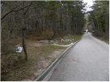 2
2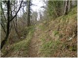 3
3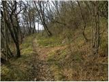 4
4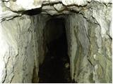 5
5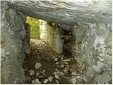 6
6 7
7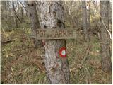 8
8 9
9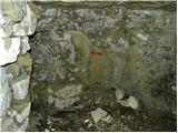 10
10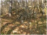 11
11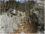 12
12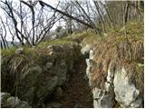 13
13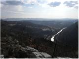 14
14 15
15 16
16 17
17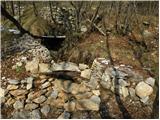 18
18 19
19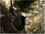 20
20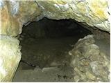 21
21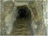 22
22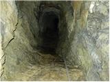 23
23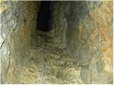 24
24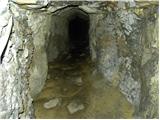 25
25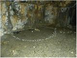 26
26 27
27 28
28 29
29 30
30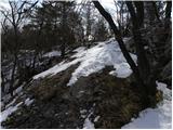 31
31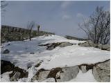 32
32 33
33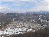 34
34