Ski hotel Vogel - Vrh nad Škrbino
Starting point: Ski hotel Vogel (1540 m)
Starting point Lat/Lon: 46.2758°N 13.8358°E 
Time of walking: 4 h 50 min
Difficulty: very difficult marked way
Difficulty of skiing: no data
Altitude difference: 514 m
Altitude difference (by path): 950 m
Map:
Access to starting point:
From highway Ljubljana - Jesenice we go to the exit Lesce and follow the road towards Bled and forward towards Bohinjska Bistrica. We continue driving towards the lake Bohinj (Ribčev laz), where we come to a crossroad, where we continue straight on the left (south) side of the lake in the direction of Ukanc and waterfall Savica. We follow this road to the bottom station of the cable car on Vogel, then we buy a ticket and go with a cableway to the upper station, which is the starting point for our tour.
Path description:
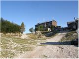
At Ski Hotel we go right (towards the west) and we continue on a macadam road which goes past the mountain hut Merjasec. The road starts slightly descending and it brings us to a crossroad. We go on the right road following the signs »Komna, Sirarna Zadnji Vogel«. The road is still slightly descending and we are soon at a crossing again. This time we go to the left road following the signs »Pl Zadnji Vogel, Komna«. Already after few ten meters of ascent then caption on rock (Vogel) points us on a footpath which goes right in the forest. The path through the forest runs parallel with the road and starts slightly descending. When we again join the road we continue by following the signs »Pl. Zadnji Vogel«. The road then crosses a cableway Zadnji Vogel and it brings us to a crossing at the cheese cottage Zadnji Vogel.
We continue straight past cheese cottage and we follow the signs »Komna« (left path on Vogel branches off). The path then through dwarf pines it brings us into the forest and again starts descending a little. The path which runs into a valley towards the hotel Zlatorog branches off to the right, and we continue on the left path, which soon brings us out of the forest and nice views open up on surrounding peaks. The path here starts ascending again and runs mostly on a grassy terrain surrounded by rare dwarf pines. The path slowly starts turning to the left and it brings us to a crossing. Left leads the path towards the saddle Globoko (1828 meters), and we continue right towards the saddle Konjsko sedlo. Here we start ascending on the left side of the valley, and view is the most beautiful on Konjski vrh and Bohinjski Migovec. When we reach the saddle we continue right following the signs »Komna«, left leads the path towards Vogel. The path from the saddle starts descending and crosses slopes on the west side of Bohinjski Migovec (1901 meters). We are soon at the crossing again.
Here we continue left (right Komna) in the direction of the mountain hut Koča na planini Razor, on the path which starts ascending diagonally towards the right. After a shorter crossing, the path leads us past a smaller valley, where we step from the slopes of Bohinjski Migovec on more rocky slopes of Vrh nad Škrbino. Here the path turns a little to the right and over small rough scree brings us to a smaller gully, after which we go into a very short lane of dwarf pines. Above the dwarf pines, the path for a short time steeply ascends, and then it flattens and crosses steep scree towards the right (this part is usually in the early summer still covered with snow, therefore then crampons and ice axe are mandatory). The path ahead on the left side bypasses a smaller sinkhole, in which through the entire year stays snow. On the other side of the sinkhole, the path starts ascending steeply towards the notch Škrbina, which we reach after approximately 15 minutes of additional ascent.
When we step on Škrbina, a nice view opens up on Primorska side, and at the crossing, we continue left on the south side of the ridge in the direction of Vrh nad Škrbino (straight downwards mountain hut Koča na planini Razor, right Tolminski Kuk). The path then on a steep, slightly crumbly slope brings us on steep northern slopes of Vrh nad Škrbino. Here we get to the first steel cables, by which we are steeply ascending. Higher, we turn to the right, where with the help of few stemples we again ascend on the south side of the ridge. On the south side, the path few more times steeply ascends by the steel cable, and then the path becomes gradually less demanding. Next follows approximately ten minutes of walking on a panoramic ridge towards the summit. Few meters below the summit from the right joins also an easier path from the mountain pasture Razor.
On the way: Konjsko sedlo (1782m)
Pictures:
 1
1 2
2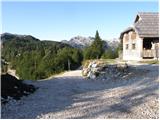 3
3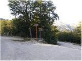 4
4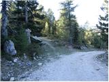 5
5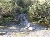 6
6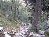 7
7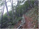 8
8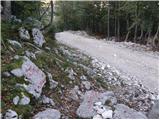 9
9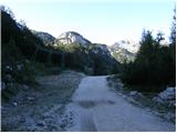 10
10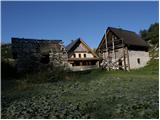 11
11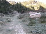 12
12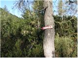 13
13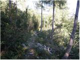 14
14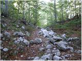 15
15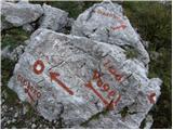 16
16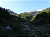 17
17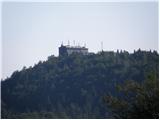 18
18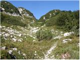 19
19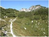 20
20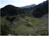 21
21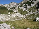 22
22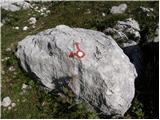 23
23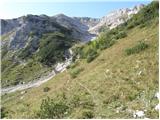 24
24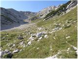 25
25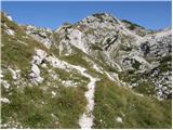 26
26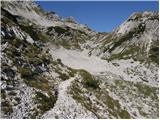 27
27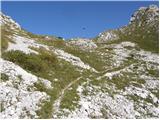 28
28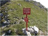 29
29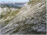 30
30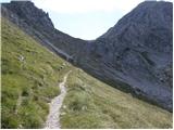 31
31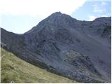 32
32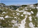 33
33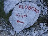 34
34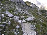 35
35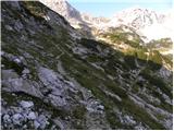 36
36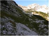 37
37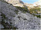 38
38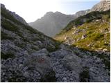 39
39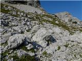 40
40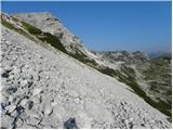 41
41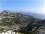 42
42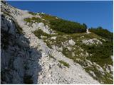 43
43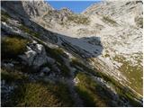 44
44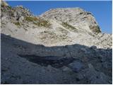 45
45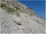 46
46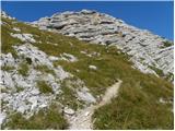 47
47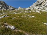 48
48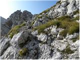 49
49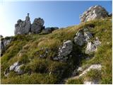 50
50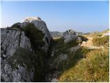 51
51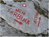 52
52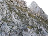 53
53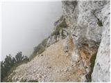 54
54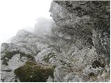 55
55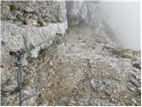 56
56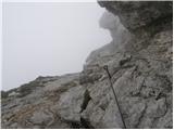 57
57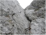 58
58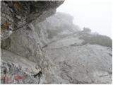 59
59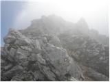 60
60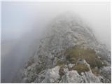 61
61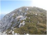 62
62 63
63 64
64