Škofja Loka (Vincarje) - Lubnik (ridge path)
Starting point: Škofja Loka (Vincarje) (356 m)
Starting point Lat/Lon: 46.1698°N 14.2975°E 
Path name: ridge path
Time of walking: 2 h 15 min
Difficulty: easy marked way
Difficulty of skiing: no data
Altitude difference: 669 m
Altitude difference (by path): 669 m
Map: Škofjeloško in Cerkljansko hribovje, Kod-Kam, Izletniška karta, 1:50.000
Access to starting point:
We drive to Škofja Loka and we continue driving in the direction towards the valley Selška dolina (or Stara Loka), but only to the beginning of Podlubnik - we drive past hall Poden and a little after that, at the crossroad we turn left into settlement Podlubnik and we look for a parking spot near the kindergarten Najdihojca (Podlubnik 1D), or we can drive past this parking lot a little ahead on first street right and when we notice a turn-off of a narrow path to the left, we turn there and we drive about 100 meters. Just before the path ends before a small bridge (only for pedestrians) over Selška Sora, we will on our left side see a small parking lot for about 5 cars, where we park. If we park near the kindergarten, we go to the end of the path next to it and we get to a footpath which leads us a little downwards, few meters to the mentioned small parking lot.
Before the trip I recommend to look the location on a map.
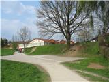
Officially the marked path from Vincarije starts at Mini hotel (which from the footpath by Sora we see on a little distant hill above the settlement) and then on the path through a meadow by the edge of the forest it descends to Selška Sora, where it joins the path described above.
Path description:
From the parking lot, we go to few meters distant small bridge over Selška Sora, which we cross and right behind the bridge we turn right on a footpath which leads by the riverbed. We are on an area named Vincarje. On our left we have at first a meadow and then a field, and soon we notice on the opposite bank of Sora a small hydropower plant, past which we go. We still walk on a footpath and later on a wider path by the riverbed, until we notice on a tree by the path on the right side signpost for Lubnik, which points us uphill to the left. The path which is moderately ascending, is at the beginning almost invisible (because of the fallen leaves), but it is well marked (blazes on the trees). We walk through a thin forest, after about 15 minutes of walking, the path becomes better visible and we soon come to a crossing, where we in front of us see two signposts - right shows path on Lubnik on the ridge and on the left is written only "Lubnik", and a little ahead on a tree by the footpath in this direction there is a caption "Gabrovo".
We go on the right footpath (Lubink po grebenu - Lubnik on the ridge), which is for some time still moderately ascending through a thin forest and then becomes steep and rocky and on the ridge at first brings us on Mali Lubnik, from which we then descend a little and then we again ascend to the destination. In the last part of the path our path joins the path which brings us on Lubnik from Gabrovo.
On the way: Mali Lubnik (894m)
Pictures:
 1
1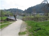 2
2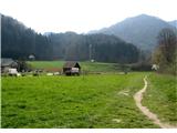 3
3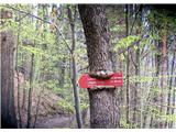 4
4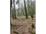 5
5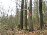 6
6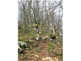 7
7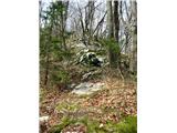 8
8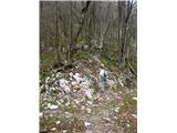 9
9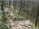 10
10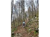 11
11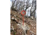 12
12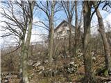 13
13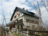 14
14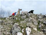 15
15 16
16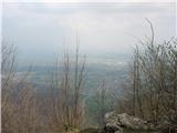 17
17