Smolnik (Marotov most) - Posestvo Šumik (through valley of Lobnica)
Starting point: Smolnik (Marotov most) (457 m)
Starting point Lat/Lon: 46.5243°N 15.4622°E 
Path name: through valley of Lobnica
Time of walking: 2 h 35 min
Difficulty: easy marked way
Difficulty of skiing: no data
Altitude difference: 643 m
Altitude difference (by path): 680 m
Map: Pohorje 1:50.000
Access to starting point:
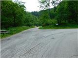
From Maribor or Selnica ob Dravi we drive to Ruše, and then we follow the road towards the settlement Fala. On the western part of Ruše at the roundabout we take the exit in the direction of Smolnik, and then we continue driving on the asphalt road which leads us through the Lobnica valley. When the road from the valley turns right higher up, we, at hiking signposts, turn left and a few tens of meters ahead park in an appropriate place by the road.
Path description:
From the starting point, we continue along the macadam road, marked with signs for Šumik and Klopni vrh, while we walk along the left bank of the stream Lobnica. The path ahead leads us past the former sawmill Globokarjeva žaga, and we follow the signs for the waterfall Šumik, which guide us from a slightly wider road straight onto a rougher road. We continue gently ascending along the stream Lobnica. The path ahead takes us past a picnic area and another former sawmill, with the road gradually becoming steeper, and the gorge increasingly scenic.
At an altitude of approximately 700 meters, we leave the road and turn slightly right onto a marked footpath, continuing along the left bank of the stream Lobnica. Next, we follow a diagonal ascent along an old, overgrown cart track. When the path brings us back to the riverbed, we first cross a tributary of the stream Lobnica, then steeply ascend a slope where, especially in wet conditions, there is a greater risk of slipping at the start. After a few minutes of steep ascent, the path splits.
To the left, the path continues along the stream Lobnica toward the waterfalls, but we turn right in the direction of Smolnik and Ruše. We proceed with a traverse to the right along a fairly overgrown path, and after a few minutes, we reach a logging trail, which we follow to the right until we arrive at a macadam road.
When we reach the road, we cross it (the road to the left leads towards the Šumik estate, the road to the right leads to Sveta Marija on Smolnik) and continue the ascent on a cart track. A few minutes higher, we join the path that passes by the church of Sveta Marija on Smolnik, and we continue to the left.
Further on, at several crossings, we follow the blazes, otherwise mostly ascending diagonally to the left. Higher up, we reach Jelenske peči, which we notice on the left side of the path, and the path then widens and leads us out of the forest. After a short scenic ascent, we reach the macadam road, which we follow straight (sharply right to cottage Koča na Klopnem vrhu and Činžat), and along it, in a gentle descent, we arrive at a crossroad, where we turn left (right to cottage Koča na Klopnem vrhu on a marked path) towards the nearby estate Šumik.
The description and pictures refer to the condition in June 2023.
Pictures:
 1
1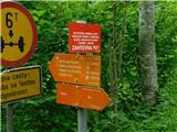 2
2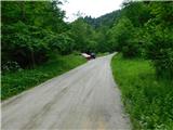 3
3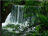 4
4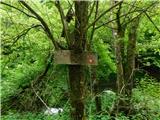 5
5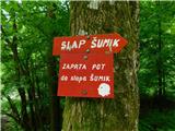 6
6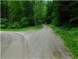 7
7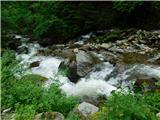 8
8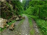 9
9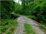 10
10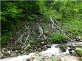 11
11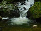 12
12 13
13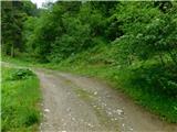 14
14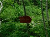 15
15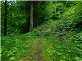 16
16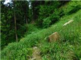 17
17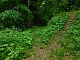 18
18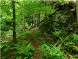 19
19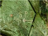 20
20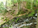 21
21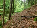 22
22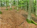 23
23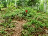 24
24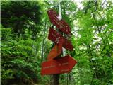 25
25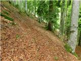 26
26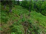 27
27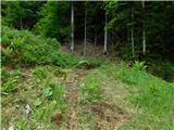 28
28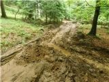 29
29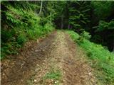 30
30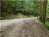 31
31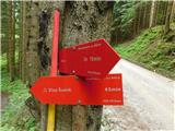 32
32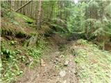 33
33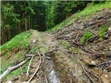 34
34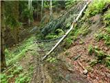 35
35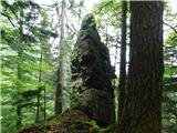 36
36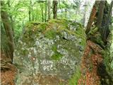 37
37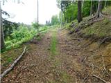 38
38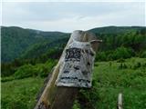 39
39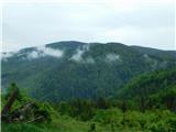 40
40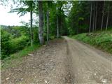 41
41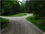 42
42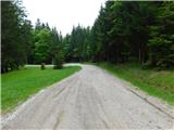 43
43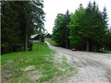 44
44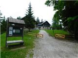 45
45