Starting point: Sora (360 m)
Starting point Lat/Lon: 46.1414°N 14.3703°E 
Path name: via Hom
Time of walking: 1 h 50 min
Difficulty: easy marked way
Difficulty of skiing: partly demanding
Altitude difference: 498 m
Altitude difference (by path): 600 m
Map: Ljubljana - okolica 1:50.000
Access to starting point:
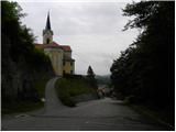
A) First, we drive to Medvode, after that at Spar store we leave the main road and we continue towards the railway station and settlement Sora. In Sora at first road towards Katarina branches off to the left, and a little ahead also towards Osolnik. We drive on the road towards Osolnik and then after a shorter ascent, we park on a parking lot below the church of St Štefan. We can also park a little lower on a parking lot by the presbytery.
B) From Kranj we drive towards Škofja Loka, from periphery of Škofja Loka then we follow the signs for Gorenja vas. Before the tunnel Sten from a roundabout we drive on exit in the direction of the settlement Sora. Further, we drive through the settlement Hosta, Pungert, Gosteče and Draga, to the settlement Sora, where we turn right towards Osolnik and then after a shorter ascent, we park on a parking lot below the church of St Štefan. We can also park a little lower on a parking lot by the presbytery.
C) From the valley Poljanska dolina we drive towards Škofja Loka and then on bypass road and through the tunnel Sten. After the tunnel we turn right and we follow the signs for settlement Sora. Further, we drive through the settlement Hosta, Pungert, Gosteče and Draga, to the settlement Sora, where we turn right towards Osolnik and then after a shorter ascent, we park on a parking lot below the church of St Štefan. We can also park a little lower on a parking lot by the presbytery.
Path description:
From the parking lot at the church of St. Štefan we continue on the asphalt road which is moderately ascending and after a short ascent, it brings us to sharp a left turn. Only a little above the mentioned turn, from the road a marked footpath branches off sharply to the right, which leads on Hom and Osolnik. We go on the mentioned path, which goes into a dense forest and starts ascending steeper. Higher, the path for a short time flattens and it gets very close to a road on Osolnik.
We continue slightly right on a marked mountain path, which a little higher splits into two parts. We again continue right in the direction of Hom (slightly left Osolnik - path, which on the left side bypasses the peak of Hom) on the more and more steep path. The path higher flattens, and then in few minutes of additional walking brings us to the summit of Hom, from which a nice view opens up towards Gorenjska.
From the top, we continue in the direction of Osolnik on the path which starts moderately descending through the forest and then turns to the left and after few minutes of descent brings us to the road on Osolnik. We follow the mentioned road to the right and we follow it approximately 15 minutes, to a cross by the road (to here possible also on marked shortcuts).
At the cross, we continue right on a marked path in the direction of Osolnik. The path ahead at first leads past NOB monument, and then starts ascending steeper through more and more thin forest. Higher, the path ascends even steeper by a wire fence, and then in front of us, we notice a church on the summit Osolnik, to which we have only few steps of more and more scenic walking.
The starting point - Hom 50 minutes, Hom - Osolnik 1:00.
Pictures:
 1
1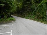 2
2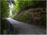 3
3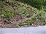 4
4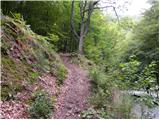 5
5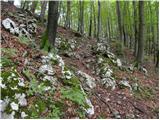 6
6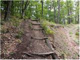 7
7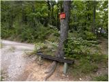 8
8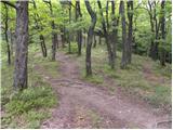 9
9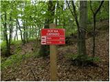 10
10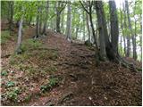 11
11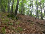 12
12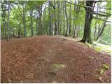 13
13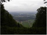 14
14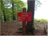 15
15 16
16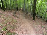 17
17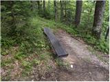 18
18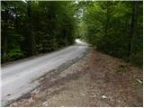 19
19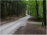 20
20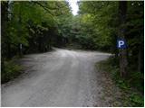 21
21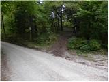 22
22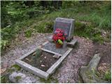 23
23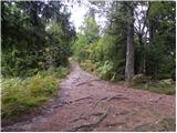 24
24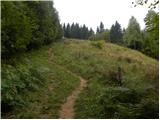 25
25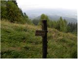 26
26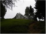 27
27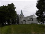 28
28