Sotina - Planinska koča Rak
Starting point: Sotina (258 m)
Starting point Lat/Lon: 46.83144°N 16.0497°E 
Time of walking: 1 h
Difficulty: easy unmarked way
Difficulty of skiing: no data
Altitude difference: 32 m
Altitude difference (by path): 80 m
Map: Pomurje 1:40.000
Access to starting point:
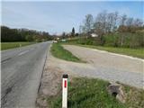
A) We drive to Gederovci (to here from Radenci or Murska Sobota) and we continue driving in the direction of Kuzma. When we get to the settlement Sotina we need to pay attention, because at the cemetery there is the beginning of the described path. We park on a macadam parking lot 50 meters ahead from the parking lot at the cemetery.
B) We drive into Kuzma (to here from the settlement Grad, Mačkovci or Petrovci), and then we continue driving towards Sotina and Austria. When Kuzma ends, follows a relatively short ascent, and then a descent, where from the crossroad with the priority road we continue left. Further, we quickly get to Sotina, where at the cemetery there is the beginning of the described path. We park about 50 meters before the cemetery on a macadam parking lot.
Path description:
From the parking lot by the main road, we walk to the signpost, which marks the beginning of the settlement Sotina and even a little further in front of the cemetery signs for Planinska koča Rak point us to the left on a bad macadam road which continues among meadows and fields. At the smaller crossroad, we continue straight, and when we already get to the forest, we go left where we follow the blazes. Next follows an ascent on a cart track which is ascending through the forest, and when the path flattens, at the crossing we continue right where also trail blaze points us to. Next follows some easy ascent, and just before the cart track reaches an asphalt road, we go right and we continue walking on a forest path which continues parallel with the road. A little further, we join the road which at the crossroads we follow straight. Panoramic path which leads us between occasional houses, then from the road turns left downwards on a grassy cart track. On the cart track, we go past the hunting observatory, and then the path turns a little to the right and past a house quickly brings us to an asphalt road which we follow left downwards, where after few steps we get to sports recreation center Slavček.
After the parking lot of the mentioned center we go right and we continue to the nearby mountain hut Planinski dom Rak or Okrepčevalnica Rak.
Description and pictures refer to a condition in April 2021.
Pictures:
 1
1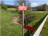 2
2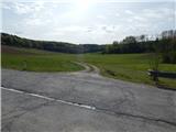 3
3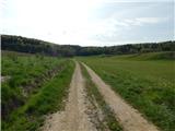 4
4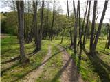 5
5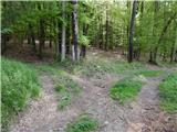 6
6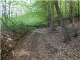 7
7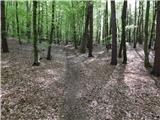 8
8 9
9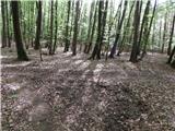 10
10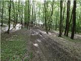 11
11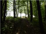 12
12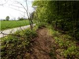 13
13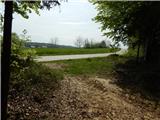 14
14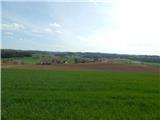 15
15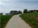 16
16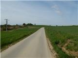 17
17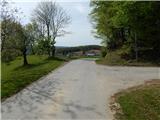 18
18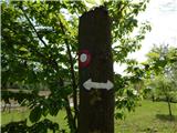 19
19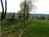 20
20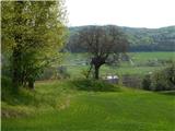 21
21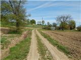 22
22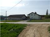 23
23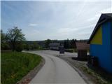 24
24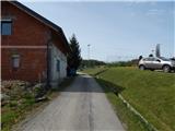 25
25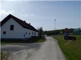 26
26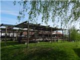 27
27