Source of Ljubljanica (Močilnik) - Ljubljanski vrh
Starting point: Source of Ljubljanica (Močilnik) (305 m)
Starting point Lat/Lon: 45.9553°N 14.2929°E 
Time of walking: 2 h
Difficulty: easy unmarked way
Difficulty of skiing: no data
Altitude difference: 514 m
Altitude difference (by path): 525 m
Map:
Access to starting point:
From the highway Ljubljana - Koper we take the exit Vrhnika, and then we continue driving on the old road towards Logatec. When the road starts ascending and turning a little towards the right, we will notice signs for the source of the Ljubljanica, which point us to the left on the road, on which in a few 100 meters we get to the parking lot at the source of Veliki Močilnik.
Path description:
From Močilnik we continue on a macadam road which continues along the edge of the forest and a little later along Mala Ljubljanica. After a few minutes, we arrive at a smaller crossroads, where the blazes direct us to the right into the village Mirke. We continue through the village, and there at the crossroads we continue left and continue the path on a narrow asphalt road. At the last house, the road ends, and we continue on a wide tourist path, which quickly brings us to the bridge over Velika Ljubljanica.
After the bridge the blazes direct us to the right onto a relatively steep cart track, which ascends diagonally through the forest. After a short ascent, we step onto a macadam road, which we follow to the left (unmarked), but follow it only a few steps, then the blazes direct us to the right onto a more overgrown footpath, along which we quickly arrive at an asphalt road, which leads us to the underpass under the highway. After the highway we follow the road for another good 100 m, then we continue right in the direction of Dolgi tali. We continue the ascent on a cart track which soon splits into two parts (unmarked). We continue slightly right and continue the ascent on the cart track which past the NOB memorial brings us to the road and only a few steps further to the underpass under the railway track.
At the crossroads after the underpass we continue right, and we follow the road a little further past the sharp left turn. After the turn we soon notice blazes, which direct us to the right onto an ascending footpath which gradually turns into a cart track. We continue the ascent for some time on the mentioned cart track, then we step onto a macadam road, which we follow to the right. After a short ascent along the road we arrive at a sign (cross), where we continue right. Only a little further we again step onto the road, which immediately brings us to a crossroads, where we leave the marked path. We continue on the left upper road, which we then follow all the way to Ljubljanski vrh, which we reach after approximately 40 minutes of further walking.
Pictures:
 1
1 2
2 3
3 4
4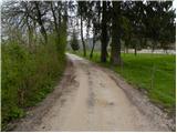 5
5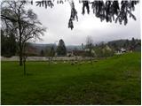 6
6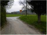 7
7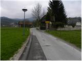 8
8 9
9 10
10 11
11 12
12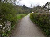 13
13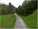 14
14 15
15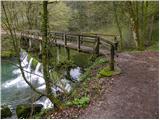 16
16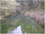 17
17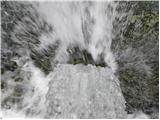 18
18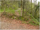 19
19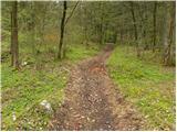 20
20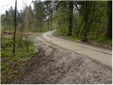 21
21 22
22 23
23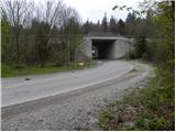 24
24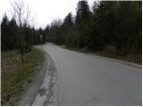 25
25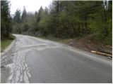 26
26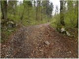 27
27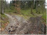 28
28 29
29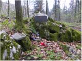 30
30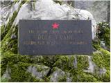 31
31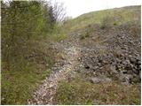 32
32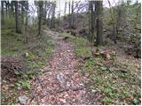 33
33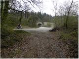 34
34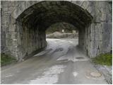 35
35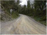 36
36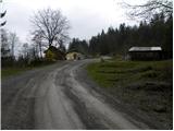 37
37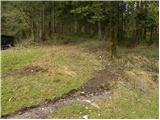 38
38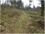 39
39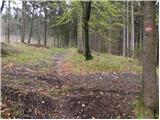 40
40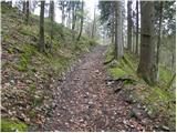 41
41 42
42 43
43 44
44 45
45 46
46 47
47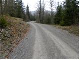 48
48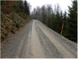 49
49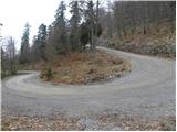 50
50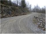 51
51 52
52