SSK Sam Ihan - Veliki vrh (Križentaver)
Starting point: SSK Sam Ihan (294 m)
Starting point Lat/Lon: 46.133°N 14.6178°E 
Time of walking: 20 min
Difficulty: easy unmarked way
Difficulty of skiing: no data
Altitude difference: 125 m
Altitude difference (by path): 125 m
Map: Ljubljana - okolica 1:50.000
Access to starting point:
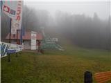
We leave Štajerska highway at exit Domžale, and then we follow the signs for castle Krumperk. We park only a little further from the highway, on a parking lot by the ski jumping hills SSK Sam Ihan.
Path description:
At the end of the ski jumping center, by the spot where by the macadam road there is a sign for prohibited parking, we go on a footpath which passes into the forest and starts moderately ascending. Higher, the path several times splits, and higher again joins and it isn't important which directions we are choosing, important is only, that we are ascending. After approximately 15 minutes of ascent also a marked path from Domžale joins, and we continue a light to moderate ascent, which ends on Veliki vrh.
Description and pictures refer to a condition in the year 2018 (January).
Pictures:
 1
1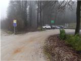 2
2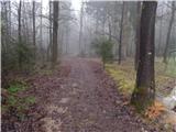 3
3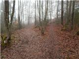 4
4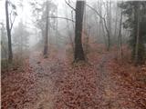 5
5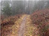 6
6 7
7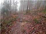 8
8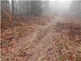 9
9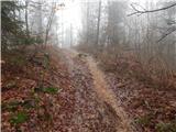 10
10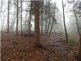 11
11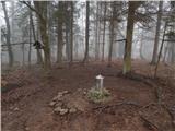 12
12