Starting point: Stara baba (310 m)
Starting point Lat/Lon: 45.8954°N 13.9206°E 
Time of walking: 1 h 45 min
Difficulty: easy unmarked way
Difficulty of skiing: partly demanding
Altitude difference: 692 m
Altitude difference (by path): 700 m
Map: Goriška 1:50.000
Access to starting point:
We drive on the highway from Razdrto towards Nova Gorica or vice versa and go to the exit Ajdovščina. Then at the crossroad (first traffic light) we continue straight in the direction of Col and Idrija. At the second traffic light we turn right, again in the direction of Col, and we follow the road only a few dozen meters to the spot where we cross the river Hubelj. Immediately after the bridge we turn left in the direction of the source of Hubelj (by the road we notice tourist signs). We follow this road to the source of Hubelj, where a macadam road branches off to the right, which ascends past the abandoned military buildings. On this road we drive to the spot where we notice signs for Kovk. We park on a smaller parking lot by the road.
Path description:
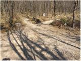
From the parking lot, we go left on a footpath in the direction of Kovk. The path, which moderately ascends, already after a few minutes brings us to a cart track, which we follow to the left. The cart track on which we walk soon has a junction, where we continue right. Only a little further ahead, the cart track has another junction, where we again continue right. Ahead, the cart track brings us below the power line, after which it changes into a footpath, which starts to ascend more steeply. The ascent then continues for quite some time, and the path after a good hour of walking brings us to the chapel, after which we soon come to a pleasant resting place with a nice view. Here is also a junction of paths, and we continue in the direction of Sinji vrh on a cart track, which at first slightly ascends and then gradually descends. When the path ascends again, we step on the road, where we continue left upwards (to the right, the road at the last house in the village ends). After a few minutes' walk on the road, we come to a junction, where we continue right and then after a few meters once again right. The road, which further ascends somewhat more steeply, brings us higher to another junction, where we again continue right. There follow another 700 m of walking on the road to the Pension Sinji vrh. Here the road ends, and we continue on an unmarked path towards Sinji vrh, which we reach after three minutes. Orientation in the last part is not difficult.
PS: along the path, we will occasionally notice some faded blazes.
Pictures:
 1
1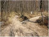 2
2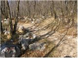 3
3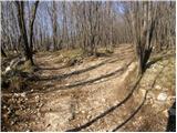 4
4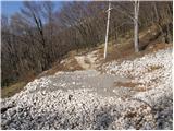 5
5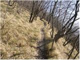 6
6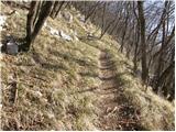 7
7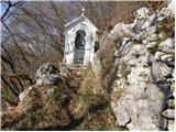 8
8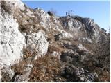 9
9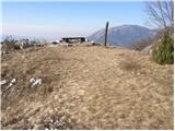 10
10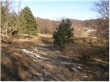 11
11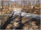 12
12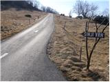 13
13 14
14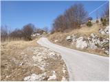 15
15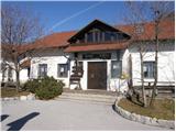 16
16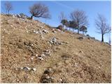 17
17 18
18