Štenge - Visoki vrh (via Vretov vrh)
Starting point: Štenge (850 m)
Starting point Lat/Lon: 46.4806°N 13.9105°E 
Path name: via Vretov vrh
Time of walking: 3 h
Difficulty: difficult pathless terrain
Difficulty of skiing: no data
Altitude difference: 978 m
Altitude difference (by path): 1000 m
Map: Kranjska Gora 1:30.000
Access to starting point:
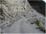
From the Ljubljana - Jesenice highway we take the Jesenice - west exit, then we continue driving on the regional road towards Kranjska Gora. We follow the mentioned road to the settlement Belca and a few 100 m further, then we will notice on the right side the beginning of the forest road which leads into the Belca valley. We turn onto the mentioned road, which we then follow to the steep rocky part. We park a few 10 m before on an appropriate place by the road.
Path description:
Just before the road crosses a steep slope, we will notice on the left side a smaller cairn and next to it the beginning of the path which ascends through Štenge. The path immediately steeply ascends, and from the left soon joins us the path from a somewhat lower starting point. The path then turns right and steeply ascends for some time. Higher, we step on a wide trail, where we arrive at an unmarked junction. We continue on the left path (right - Visoki vrh through the valley Za Vršičem), which becomes technically demanding. In a diagonal ascent we ascend over occasionally pretty steep and dangerous-for-slipping slopes, then we get to the ridge, where the poorly visible path levels out. We continue along the occasionally partly panoramic ridge on the path which occasionally entirely disappears. For some time we continue in the same direction, then we get to a smaller watering place for wild animals.
From here we continue a little towards the left, where we can occasionally still follow the remains of the footpath. Higher, the path brings us to a steep forest-covered slope, through which we ascend a little towards the left to the nearby ridge, which is partly overgrown with dwarf pines. Further, a barely noticeable footpath very steeply ascends, then temporarily disappears and turns to the right, where it crosses steep slopes at the foot of the smaller cliffs. A short ascent towards the right follows and we reach the ridge Barakarjeva špica. For some time we walk on and along the ridge, then the path before reaching the forepeak of Vretov vrh turns right and crosses slopes towards the saddle between the already mentioned peak and Visoki vrh. When we reach the saddle we join a better beaten path, which we follow in a diagonal ascent towards the right to panoramic Vršič (which is located a little to the right of the path).
On the little saddle a few meters below Vršič we continue left (the path straight leads us towards the road Belca - Sedlič, option for a descent) and we continue on a nicely traceable footpath which starts ascending through a dense belt of dwarf pines. Further, we gently ascend for some time along the edge of steep slopes, then the path transitions to the summit slope of Visoki vrh, where it gradually becomes steeper. A few minutes of walking follow and the increasingly panoramic path quickly brings us to the summit.
Pictures:
 1
1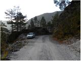 2
2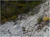 3
3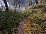 4
4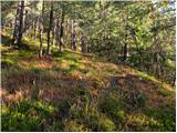 5
5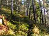 6
6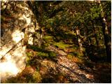 7
7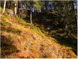 8
8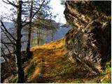 9
9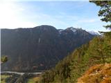 10
10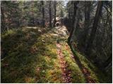 11
11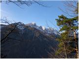 12
12 13
13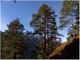 14
14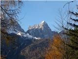 15
15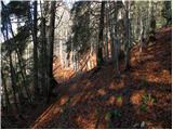 16
16 17
17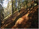 18
18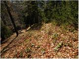 19
19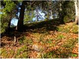 20
20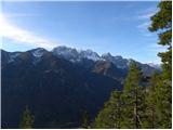 21
21 22
22 23
23 24
24 25
25 26
26 27
27 28
28 29
29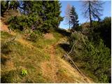 30
30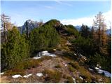 31
31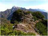 32
32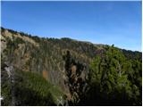 33
33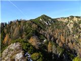 34
34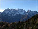 35
35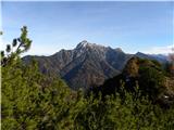 36
36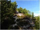 37
37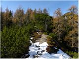 38
38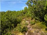 39
39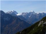 40
40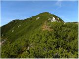 41
41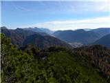 42
42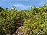 43
43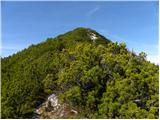 44
44 45
45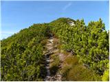 46
46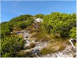 47
47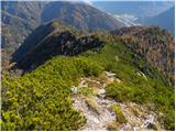 48
48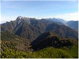 49
49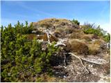 50
50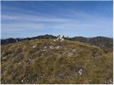 51
51 52
52