Streliška ulica - Ljubljana Castle (po ulici Na Stolbi)
Starting point: Streliška ulica (300 m)
Starting point Lat/Lon: 46.0494°N 14.5114°E 
Path name: po ulici Na Stolbi
Time of walking: 15 min
Difficulty: easy unmarked way
Difficulty of skiing: no data
Altitude difference: 76 m
Altitude difference (by path): 76 m
Map: Ljubljana - okolica 1:50.000
Access to starting point:
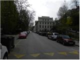
A) From the main bus and railway station in Ljubljana we drive on the road Resljeva cesta, on which we drive to tunnel Predor pod Gradom, where we turn left on street Streliška ulica, where we park on a payable parking lot.
B) To the starting point, we can also come from the direction of road Roška cesta.
Path description:
From the spot, where we've parked at first we walk to a crossroad of street Streliška ulica with Lončarska steza (crossroad is located near the tunnel Predor pod Gradom). We continue the ascent on Lončarska steza, on which we ascend to the first crossroad. From the crossroad, we go right and we continue the ascent on street Na Stolbi, on which we continue almost to its end. Just before the end of the road, we continue left on a wide forest path, on which in few minutes of relatively steep ascent we get to the parking lot on castle Ljubljanski grad.
From the parking lot, we walk to the castle mansion from where we on numerous stairs ascend on a lookout tower (ascent on a lookout tower is payable).
Pictures:
 1
1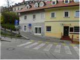 2
2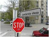 3
3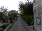 4
4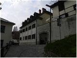 5
5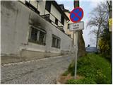 6
6 7
7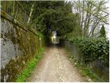 8
8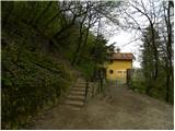 9
9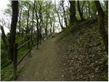 10
10 11
11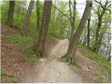 12
12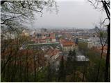 13
13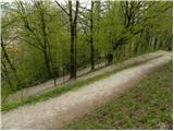 14
14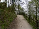 15
15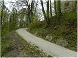 16
16 17
17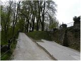 18
18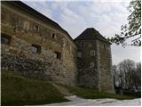 19
19 20
20