Studenec na Blokah - Belovka
Starting point: Studenec na Blokah (755 m)
Starting point Lat/Lon: 45.7656°N 14.5345°E 
Time of walking: 15 min
Difficulty: easy unmarked way
Difficulty of skiing: no data
Altitude difference: 93 m
Altitude difference (by path): 93 m
Map: Snežnik 1:50.000
Access to starting point:
A) From highway Ljubljana - Koper we go to the exit Unec, and then we follow the road in the direction of Cerknica and ahead in the direction of Bloška Polica and Nova vas. From Nova vas we continue driving on the main road towards Sodražica, and we are driving there to the nearby crossroad, where a road towards Studeno na Blokah and settlement Hrib - Loški Potok branches off to the right. A little narrower road quickly brings us to the village Studeno na Blokah, where there is the beginning of the path on Belovka. In the village there aren't any settled parking spots, so we have to park on an appropriate place before or after the village.
B) From the road Ljubljana - Kočevje at settlement Žlebič we go on the road in the direction of Sodražica. From Sodražica we continue on the main road towards Nova vas na Blokah, and on the mentioned road we drive to the settlement Runarsko, or to a crossroad few 100 meters after the end of the settlement. From the mentioned crossroad, we continue sharply left in the direction of Studeno na Blokah and settlement Hrib - Loški Potok. A little narrower road quickly brings us to the village Studeno na Blokah, where there is the beginning of the path on Belovka. In the village there aren't any settled parking spots, so we have to park on an appropriate place before or after the village.
Path description:
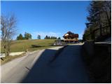
The path on Belovka starts at the smaller crossroad right next to the house with orange facade. At the mentioned house we leave the main road towards the settlement Hrib - Loški potok and we continue left on a side road which continues among some houses. On the mentioned road, we walk only few 10 meters and then we continue slightly right on a cart track which quickly leads on a panoramic meadow. With nice views on surrounding village we quickly get to Mobitel and Simobil transmitter, where the cart track passes on a partly vegetated ridge of Belovka. Higher from the path, a view opens up towards Krim and in good visibility on Kamnik Savinja Alps. Next follows a crossing of a smaller fence and the path brings us on a panoramic peak, from which a view opens up on a plateau Bloška planota and surrounding hills.
Pictures:
 1
1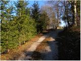 2
2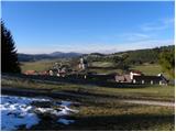 3
3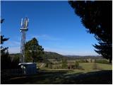 4
4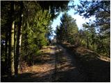 5
5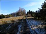 6
6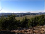 7
7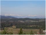 8
8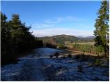 9
9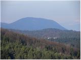 10
10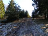 11
11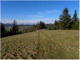 12
12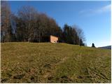 13
13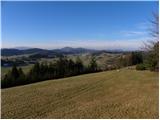 14
14