Starting point: Suhadolnik (901 m)
Starting point Lat/Lon: 46.3352°N 14.5102°E 
Time of walking: 6 h 15 min
Difficulty: very difficult marked way
Difficulty of skiing: no data
Altitude difference: 1350 m
Altitude difference (by path): 1700 m
Map: Kamniške in Savinjske Alpe 1:50.000
Access to starting point:
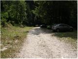
From highway Ljubljana - Jesenice we go to the exit Kranj - vzhod and follow the road ahead in the direction of Jezersko, but only to the village Kokra. In the mentioned village, we will only few meters before the road crosses a bridge over the river Kokra, notice a road which runs towards Suhadolnik. The turn-off of the road is located, when we are on the right side of the river (left bank), the road sign is approximately 7 km. We follow this road to a parking lot, which is located approximately 300 meters before a farm Suhadolnik.
Path description:
At the beginning of the parking lot, we notice hiking signposts, which point us on a road, on which in less than 5 minutes of walking, we get to a smaller crossroad at the farm Suhadolnik. Here we continue on the right road, and we follow it for approximately 5 minutes, or to the spot, where blazes lead on an ascending cart track. Further, for a short time, we are ascending on a cart track, and then blazes point us to the right on a footpath which is moderately ascending through the forest. Higher, we return on a cart track, and which only few meters ahead brings us to a forest road which we then follow to its end (to here we need approximately half an hour).
At the end of the road marked path splits into two parts. We continue on the left path (right a little easier "Old path"), which is further ascending on a gentle cart track. A little further blazes point us slightly right on a torrent deposits of sand, and the path on the other side continues through the forest, where it starts ascending steeper and steeper. Higher, we come to a smaller cave, and the path behind it becomes technically demanding. With the help of steel cables we ascend a level higher, and the path then continues on a steep slope, where occasionally we get a help from some iron spikes. Higher, the path turns to the right, ascends diagonally over a steep and mainly in wet for slipping dangerous slopes and then brings us to well-secured passage. With the help of wooden stairs or a ladder and a help from a steel cable, we ascend on the steep slope, which without mentioned fixed safety gear would be very dangerous. Higher, we get some help from some more iron spikes, and the path after that flattens and crosses a short exposed slope, where we get help from a fence. Only a little further, we come to the next ladder, by which there aren't any steel cables, but the passage isn't that difficult. Next follows a short descent into a smaller gully and then we also cross it. On the other side of the gully, we steeply ascend (we get help from some stemples), after that the path slowly flattens and in few 10 strides of additional walking brings us to the spot, where joins a little easier "old path".
Next follows a short diagonal ascent and the path brings us to a larger plain, where used to be "stara koča" (old mountain hut). Over a high grass we walk on the other side of the plain, where we get to a marked crossing.
We continue straight (left Kočna over Grdi graben) on a moderately steep path, which further ascends through a lane of bushes. Higher, the path for some time entirely flattens, and then it brings us into dwarf pines, where it starts ascending steeper. This a little steeper path, from which increasingly beautiful views are opening up, we follow all the way to the mountain hut Cojzova koča na Kokrskem sedlu.
From a saddle we continue left in the direction of Grintovec, Kočna and Skuta. The path immediately above the saddle steeply ascends and a little higher brings us to a crossing, where a path towards the bivouac Bivak pod Grintovcem and Skuta branches off to the right (straight Grintovec over Streha and Kočna). We go right on this at first a little poorly visible footpath which in a moderate ascent brings us to scenic passage over Mala vratca. After the narrow passage Mala vratca, the path starts descending on a steep and occasionally slightly exposed slope. By the end of the descent, which takes approximately 100 altitude meters there are some iron spikes for help. Next follows crossing of the gully and then ascent on high mountain terrain to bivouac below Grintovec.
Near the bivouac where there is a crossing, we continue right in the direction of Sleme and Turska gora, left leads the path towards the saddle Mlinarsko sedlo and Skuta. The path at first crosses partly grassy slopes and then it brings us on more limestone pavement terrain. The path is here well-marked so walking orientationally isn't demanding. The path then leads us past the peak Kogel which we will notice on our right. Further on the path, there is more short steeper ascents and descents, which bring us below the slopes of Štruca and Skuta. By the path on this part there are also some abysses, and from the right side joins also unmarked footpath which leads through Gamsov Skret. When we come to a signpost by the path, the path turns firmly to the left and starts ascending steeper on the scree below the mountain walls of Skuta.
When we get very close to the walls, the path turns to the right and becomes demanding. At first, we cross a steep slope below the rocky overhang, and then we few times steeply ascend by the steel cable. The path is all the time well-secured with a steel cable, and on a shorter part where we cross the gully with iron spikes. We still in ascent cross steep slopes and the path brings us to wider ledge. Scenic path then leads us by abyss in a wall and then soon brings us to Sleme where the path becomes again easy.
The path towards Sleme used to run a little lower, but because of bigger rockfall, which occurred in the year 2003 the path was changed.
From Sleme where there is a signpost we continue left and on a little steeper slope we descend towards Mali podi. The slope then becomes less steep and soon unmarked shortcut branches off to the left, which leads over the scree and later joins the path on Skuta. We continue ahead on a marked path where we occasionally slightly ascend. We still walk on panoramic slopes of Mali podi where by the path there are also some abysses. By the path, we will then notice bigger cairn where from the right side joins an unmarked path from the bivouac below Skuta. To the bivouac is from the marked path approximately 10 minutes of descent.
On otherwise relatively poorly visible crossing we continue straight and soon follows a short little steeper ascent where we also get help from some iron spikes. After that, the path again becomes less steep and it brings us to a marked crossing.
Left upwards marked path on Skuta and Rinke branches off, and we continue straight towards Turska gora. Panoramic path is further descending and it brings us to a crossing at top of Turski žleb.
Here from the left joins the path through Turski žleb, and we continue slightly right and we start ascending towards the summit of Turska gora. At first, we then in a gentle ascent cross slopes by the ridge and occasionally a view opens up also towards the north where Mrzla gora stands out. The path then avoids the ridge on the right side and then follows a little steeper ascent towards the upper ridge. When we reach the ridge, we continue right and on a panoramic ridge path we soon reach the peak. A walk on the ridge in dry doesn't represent bigger problems, in snow on the upper ridge there is a great risk of slipping.
Pictures:
 1
1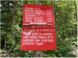 2
2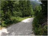 3
3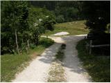 4
4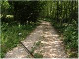 5
5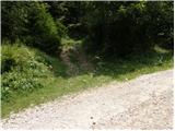 6
6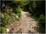 7
7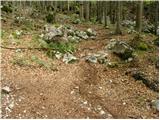 8
8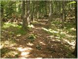 9
9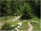 10
10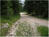 11
11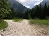 12
12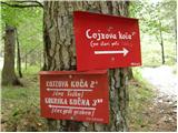 13
13 14
14 15
15 16
16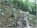 17
17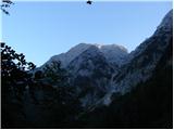 18
18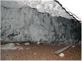 19
19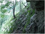 20
20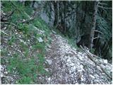 21
21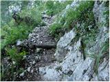 22
22 23
23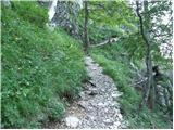 24
24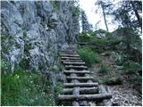 25
25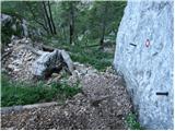 26
26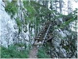 27
27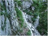 28
28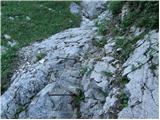 29
29 30
30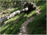 31
31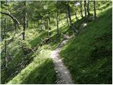 32
32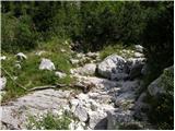 33
33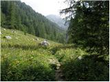 34
34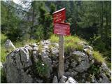 35
35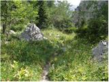 36
36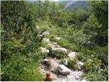 37
37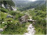 38
38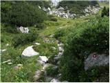 39
39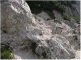 40
40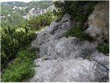 41
41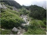 42
42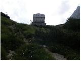 43
43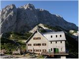 44
44 45
45 46
46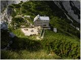 47
47 48
48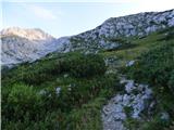 49
49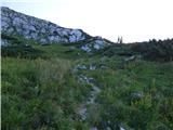 50
50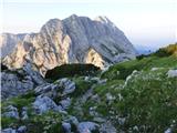 51
51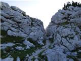 52
52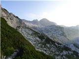 53
53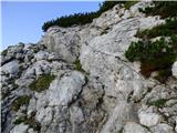 54
54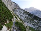 55
55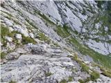 56
56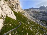 57
57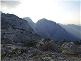 58
58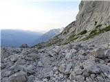 59
59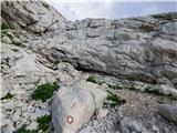 60
60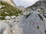 61
61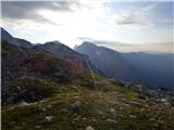 62
62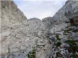 63
63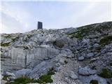 64
64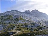 65
65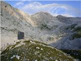 66
66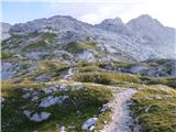 67
67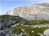 68
68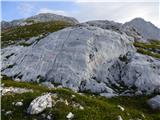 69
69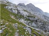 70
70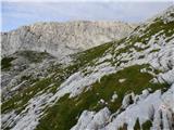 71
71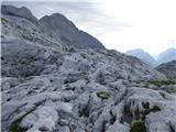 72
72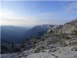 73
73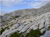 74
74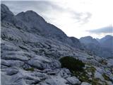 75
75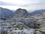 76
76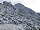 77
77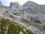 78
78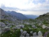 79
79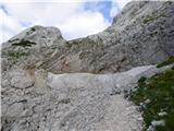 80
80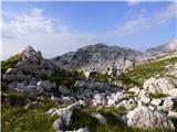 81
81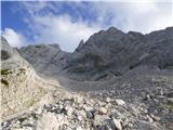 82
82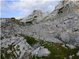 83
83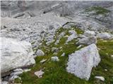 84
84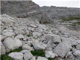 85
85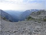 86
86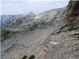 87
87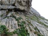 88
88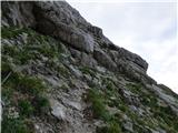 89
89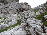 90
90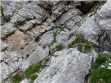 91
91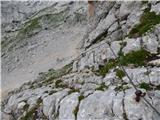 92
92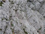 93
93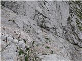 94
94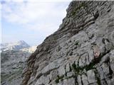 95
95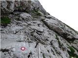 96
96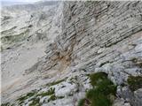 97
97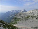 98
98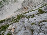 99
99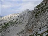 100
100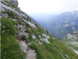 101
101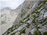 102
102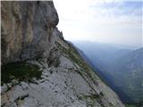 103
103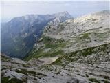 104
104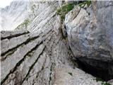 105
105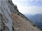 106
106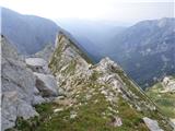 107
107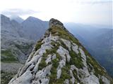 108
108 109
109 110
110 111
111 112
112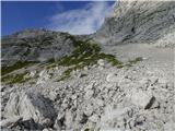 113
113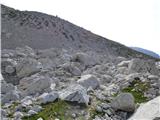 114
114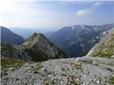 115
115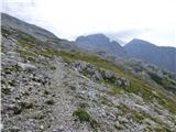 116
116 117
117 118
118 119
119 120
120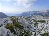 121
121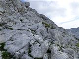 122
122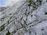 123
123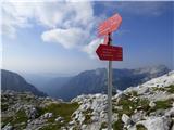 124
124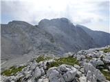 125
125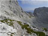 126
126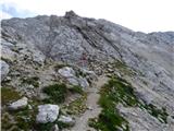 127
127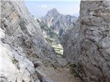 128
128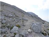 129
129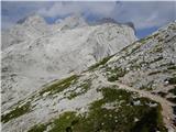 130
130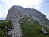 131
131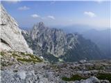 132
132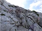 133
133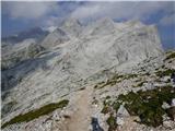 134
134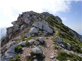 135
135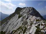 136
136 137
137 138
138 139
139 140
140 141
141 142
142