Sveta Ana (Razguri) - Sveti Socerb (Vipavska brda)
Starting point: Sveta Ana (Razguri) (560 m)
Starting point Lat/Lon: 45.783°N 13.9443°E 
Time of walking: 25 min
Difficulty: easy unmarked way
Difficulty of skiing: no data
Altitude difference: -5 m
Altitude difference (by path): 35 m
Map:
Access to starting point:
A) First, we drive to Podnanos, and then we continue driving towards Orehovica and Vrabče. On a winding and ascending road after few kilometers we get by the edge of the settlement Vrabče, where we continue right towards Štanjel and Štjak. From here we drive for approximately 1 km, and then we park on a parking lot at the church of St. Ana.
B) From Senožeče or Sežana we drive to the settlement Štorje, and then we continue driving towards the settlement Majcni, Griže (in the mentioned village we don't go), and then we follow the signs for settlements Sela and Razguri. Above the settlement Razguri, we get to the church of St. Ana, by which we park.
Path description:
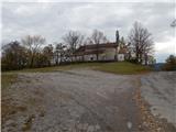
From the church of St. Ana, we start on the road which continues towards the northwest and leads towards Štjak. On the asphalt road, we walk few minutes, and then at the beginning the moderate left turn, we continue right on a cart track, or bad macadam road. The macadam road soon splits, and we continue on the right road (slightly left Štjak) in the direction towards Sveti Socerb. A little further another path branches off to the left on Štjak, and we again continue right. Further, the road finally changes into a cart track, and in few minutes we reach an indistinct peak Stanibreg (556 meters).
From the mentioned summit follows a short descent, and then we reach the cart track which leads from the settlement Podraga towards Sveti Socerb. On the mentioned cart track we start ascending, and there we quickly get to the inscription box and few steps ahead to the church of St. Servul on Sveti Socerb.
Description and pictures refer to a condition in the year 2016 (November).
Pictures:
 1
1 2
2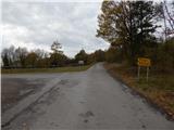 3
3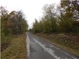 4
4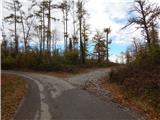 5
5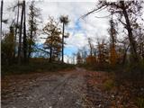 6
6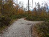 7
7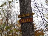 8
8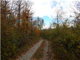 9
9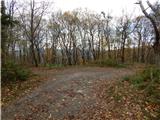 10
10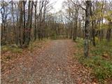 11
11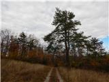 12
12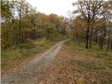 13
13 14
14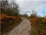 15
15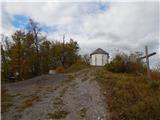 16
16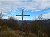 17
17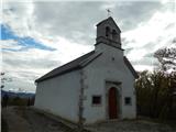 18
18 19
19