Sveti Jurij - Planinska koča Rak
Starting point: Sveti Jurij (251 m)
Starting point Lat/Lon: 46.80142°N 16.037°E 
Time of walking: 1 h
Difficulty: easy marked way
Difficulty of skiing: no data
Altitude difference: 39 m
Altitude difference (by path): 85 m
Map: Pomurje 1:40.000
Access to starting point:
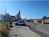
We drive to Gederovci (to here from Radenci or Murska Sobota) and we continue driving in the direction of Kuzma. When we get to the settlement Sveti Jurij, only a little behind the church we turn right and we park on a parking lot near the church of St. Jurij and primary school Sveti Jurij.
Path description:
From the parking lot, we continue towards the north and we walk parallel with the main road, and after the police office we go right and on a marked road we descend to the sports field, and on the other side of the field we get to a marked crossing, where we go left in the direction of Planinska koča Rak (straight - Grad).
The path ahead leads us on a gently sloping macadam road which mostly runs by the edge of the forest, and at the crossings we continue straight. When we get to a smaller hamlet (on maps marked as homestead Trnjarec), where we step on the asphalt, at the spot where the asphalt road turns left, we continue right into the forest. Next follows an ascent on a worse macadam road which is at first ascending through the forest and then between the fields ascends to an asphalt road which connects Rogašovci with Gornji Slaveči.
Here we go left and then immediately right. Next follows a shorter descent, and still before the cemetery, which we see in front of us we go left on a marked path towards hut Planinska koča Rak. Forest into which we entered, when we left the road, we quickly leave, and then we continue on a cart track which leads us among the fields. A pleasant cart track with nice views in few minutes brings us to hut Planinska koča Rak.
Description and pictures refer to a condition in March 2021.
Pictures:
 1
1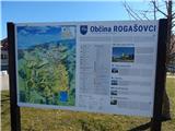 2
2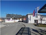 3
3 4
4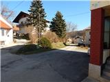 5
5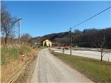 6
6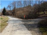 7
7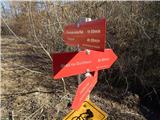 8
8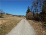 9
9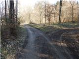 10
10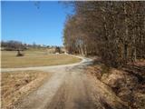 11
11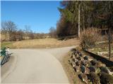 12
12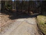 13
13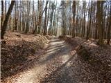 14
14 15
15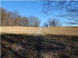 16
16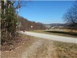 17
17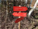 18
18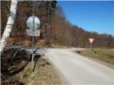 19
19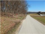 20
20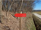 21
21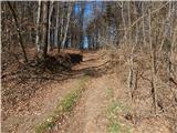 22
22 23
23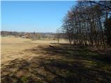 24
24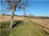 25
25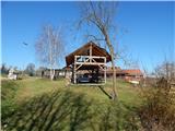 26
26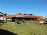 27
27