Sveti Mavricij - Sveti Socerb (Artviže)
Starting point: Sveti Mavricij (403 m)
Starting point Lat/Lon: 45.6574°N 14.0009°E 
Time of walking: 2 h 15 min
Difficulty: easy marked way
Difficulty of skiing: no data
Altitude difference: 414 m
Altitude difference (by path): 470 m
Map:
Access to starting point:
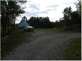
From highway Ljubljana - Koper, we go to the exit Divača, and then we continue driving in the direction of Škocjan caves and Ilirska Bistrica. Further, we drive through Matavun and Naklo, and immediately after the end of the settlement Naklo we need to pay attention, because we will on the right side notice renovated church of St. Mavricij, by which we park.
Path description:
From the church of St. Mavricij, we go on a macadam road in the direction of Artviže and Slavnik. We start on a slightly ascending and for public traffic closed forest road, by which we notice a notification, that we are entering the bear area. After an initial gentle ascent, the road gradually starts descending, and then it brings us to the smaller crossroad, where we continue on the upper right road. Eventually, the road crosses a riverbed of the stream Sušica and brings us out of the forest on a larger meadow, where it ends. Here we continue right on a grassy cart track which at first leads past the hunting observatory, and then without large changes in altitude leads through a larger meadow. On the other side of the meadow, we cross a lane of a forest or bushes, and then the cart track again widens into a bad forest road which then leads us past the orchard, to an asphalt road which we follow to the right. Further, we are at first gently, and then moderately ascending on the asphalt road which quickly brings us to a poorly marked crossroad by a smaller concrete cross. From the cross we continue on the right steeper road, and it quickly brings us to a sharp right turn, where we leave it. From the turn we continue straight on a marked and in parts also quite overgrown mountain path, which ascends diagonally over a little steeper slope. After few minutes of crossing, we get to the village Podgrad pri Vremah, and at the crossroads through the village we follow the blazes and signs for Artviže.
Smaller village we quickly leave because signs point us to the left on a cart track which starts gently descending towards the left. Cart track quickly passes into the forest, where mostly in a gentle descent, brings us to the nearby stream, which we cross and after which we start steeply ascending through the forest. Well marked, but on some spots slightly overgrown path, higher flattens and changes into a cart track, on which we soon get to the nearby macadam road which we only cross. We continue the ascent on partly muddy cart track which higher returns on a macadam road, and there we quickly ascend to the village Artviže, where in front of us we notice an inscription box with a stamp and few meters right also NOB monument.
From the center of the village we continue on the asphalt road which further isn't marked. At the crossroads, we stick to the left direction (turn-offs on a yard we ignore), and the road quickly brings us above the village, where the asphalt ends. We continue the ascent on a panoramic grassy slope, on which in few minutes we walk to the church of St. Socerb, which is situated on the highest summit of Brkini.
On the way: Podgrad pri Vremah (500m)
Pictures:
 1
1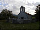 2
2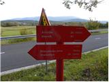 3
3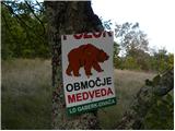 4
4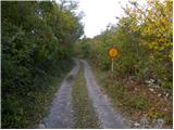 5
5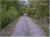 6
6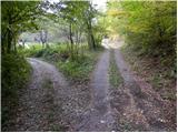 7
7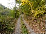 8
8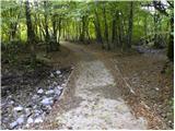 9
9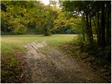 10
10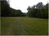 11
11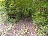 12
12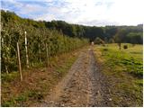 13
13 14
14 15
15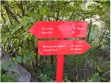 16
16 17
17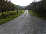 18
18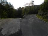 19
19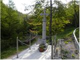 20
20 21
21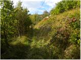 22
22 23
23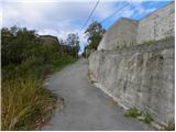 24
24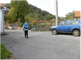 25
25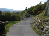 26
26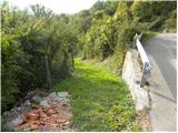 27
27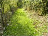 28
28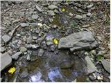 29
29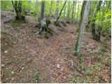 30
30 31
31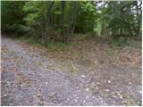 32
32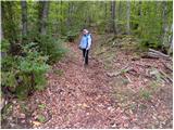 33
33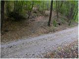 34
34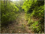 35
35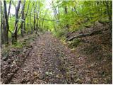 36
36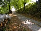 37
37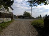 38
38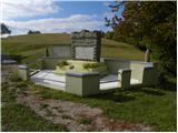 39
39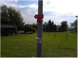 40
40 41
41 42
42 43
43 44
44 45
45 46
46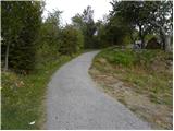 47
47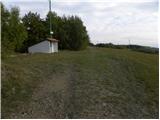 48
48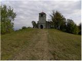 49
49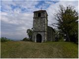 50
50 51
51