Sveti Trije kralji - Ruška koča na Arehu
Starting point: Sveti Trije kralji (1181 m)
Starting point Lat/Lon: 46.43788°N 15.46004°E 
Time of walking: 3 h
Difficulty: easy marked way
Difficulty of skiing: no data
Altitude difference: 65 m
Altitude difference (by path): 415 m
Map: Pohorje 1:50.000
Access to starting point:
We drive into the center of Slovenska Bistrica, where at the traffic light crossroad we turn in the direction of health center and further we drive on the road Partizanska cesta. Next follows driving through the town, where we continue straight, at the periphery of the town, at the industrial zone we go on the road towards Tinje, Sveti Trije kralji and lake Črno jezero. Next follows an ascent on a little narrower asphalt road which starts ascending and at first leads past Lovska koča pizzeria Gams, higher we go also through the settlement Visole, and few kilometers higher we get to Zgornje Tinje, from where we follow the signs for ski slope Jakec - Trije kralji. We park on a parking lot by the foot of the ski slope, or near the Church of Holy Three Kings.
Path description:
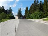
From the spot, where we've parked, on the road described at the access to the starting point, we start descending diagonally and after approximately 100 lost altitude meters we get to a crossroad from which we continue straight (right - Veliko Tinje and Slovenska Bistrica). Only few minutes further we get to the next crossroad, where we leave the asphalt road and we continue left in the direction of house Majstrova hiša (straight - Šmartno na Pohorju).
After a short ascent on a macadam road we get to the mentioned house, where the asphalt ends, and we bypass the house on the right side, where signs for Areh point us on a cart track. The cart track leads through the forest and it quickly brings us to another macadam road which we follow right downwards, and from there we then go left on a cart track which leads us through the forest. During the gentle walk through the forest, from the right joins the path which leads past the partisan hospital Jesen, and we continue straight towards Areh. A little further, we leave the forest and on a little overgrown path past the hunting observatory we return into the forest, where we cross two smaller streams. After the streams we follow the blazes, and then we reach the road which we follow to the right. After a shorter light descent we get to the next crossroad, where we go left, and immediately after the crossroad we go right on a marked path. The path ahead goes gradually into the forest, where at the crossings we follow the blazes, and when we reach the road we go left.
At few 10 strides distant crossroad we go straight, and few 10 strides ahead we go right on a footpath (the turn-off isn't marked). Next follows an ascent on a worse footpath, where there aren't many blazes, and the path soon flattens and it brings us to a forest road, on which we continue to the nearby crossing, where from the left joins the marked path from Koča na Šumiku.
We continue on the road to the nearby NOB monument, from where we continue on a marked path, and the path few minutes higher joins the cart track, where we follow the blazes. Higher, we cross a bad forest road, and a little ahead we get to a marked crossing, where the path on Žigartov vrh branches off to the left, and we continue straight. The path ahead descends a little and it brings us to a bad road, on which we continue crossing. Next follows traversing of Žigartov vrh, where a short path branches off to the right towards the source of Polskava, and we continue straight to a crossroad, where we join a wider macadam road, where we go right (from the left joins a little longer path which leads via Žigartov vrh).
The path ahead few minutes leads through the forest, and when we leave the forest, we reach a larger parking lot at Hotel Areh. At the end of the parking lot, we go right and in a minute of additional walking, we get to Ruška koča na Arehu.
Description refers to condition in June 2022 and pictures are from May 2022 and June 2022.
On the way: Majstrova hiša (1080m), Tinčeva bajta (1115m)
Pictures:
 1
1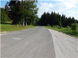 2
2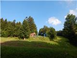 3
3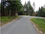 4
4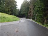 5
5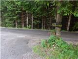 6
6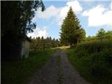 7
7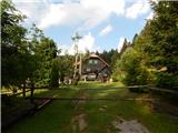 8
8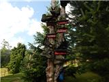 9
9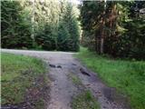 10
10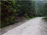 11
11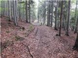 12
12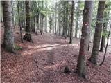 13
13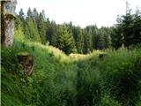 14
14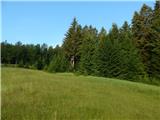 15
15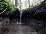 16
16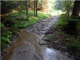 17
17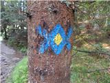 18
18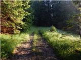 19
19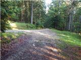 20
20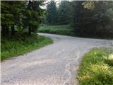 21
21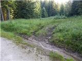 22
22 23
23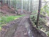 24
24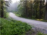 25
25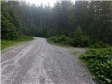 26
26 27
27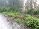 28
28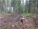 29
29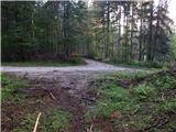 30
30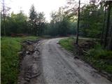 31
31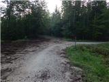 32
32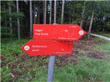 33
33 34
34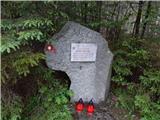 35
35 36
36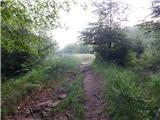 37
37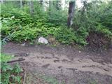 38
38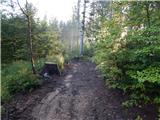 39
39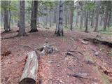 40
40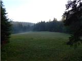 41
41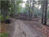 42
42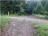 43
43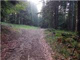 44
44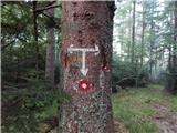 45
45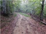 46
46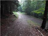 47
47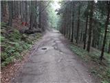 48
48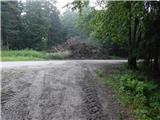 49
49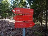 50
50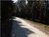 51
51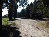 52
52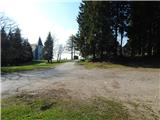 53
53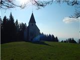 54
54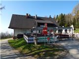 55
55