Sveti Trije kralji - Veliki vrh (on Pohorje)
Starting point: Sveti Trije kralji (1181 m)
Starting point Lat/Lon: 46.43788°N 15.46004°E 
Time of walking: 30 min
Difficulty: easy marked way
Difficulty of skiing: no data
Altitude difference: 163 m
Altitude difference (by path): 163 m
Map: Pohorje 1:50.000
Access to starting point:
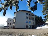
We drive into the center of Slovenska Bistrica, where at the traffic light crossroad we turn in the direction of health center and further we drive on the road Partizanska cesta. Next follows driving through the town, where we continue straight, at the periphery of the town, at the industrial zone we go on the road towards Tinje, Sveti Trije kralji and lake Črno jezero. Next follows an ascent on a little narrower asphalt road which starts ascending and at first leads past Lovska koča pizzeria Gams, higher we go also through the settlement Visole, and few kilometers higher we get to Zgornje Tinje, from where we follow the signs for ski slope Jakec - Trije kralji. We park on a parking lot by the foot of the ski slope, or near the Church of Holy Three Kings.
Path description:
From the spot, where we've parked, we walk to Church of Holy Three Kings, and from the church we continue in the direction of the lake Črno jezero and the path Urškina pot, where we quickly get by the edge of the nearby ski track of the ski slope RTC Jakec - Trije kralji. The path ahead at first leads by the edge of the forest, only few meters away from the ski slope, and higher we cross the ski slope towards the right (while the ski slope operates, we cross the ski slope above the ski lift). On the other side of the ski track, the path goes a little to the right and leads us below the artificial lake.
A little after the lake we get to the connecting ski track, on which we continue the ascent (while the ski slope operates, we walk by the far left edge of the ski slope), and when few minutes higher we reach another ski track, where the marked path towards the lake Črno jezero crosses a ski slope, we still continue by the left edge, where there are also signs for path Urškina pot. Next follows few minutes of a steeper ascent and with increasingly beautiful views we get to benches on Veliki vrh, from where a nice view opens up on Pohorje and valley.
From here we can continue few more 10 meters into the forest, where there is the highest point of the peak.
Description and pictures refer to a condition in January 2022.
Pictures:
 1
1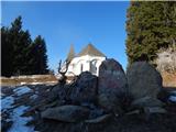 2
2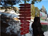 3
3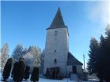 4
4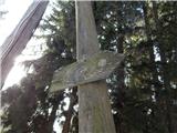 5
5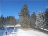 6
6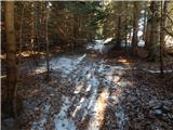 7
7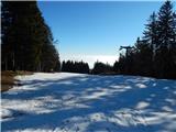 8
8 9
9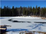 10
10 11
11 12
12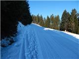 13
13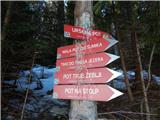 14
14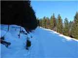 15
15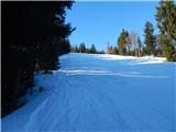 16
16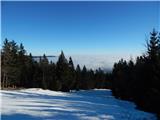 17
17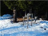 18
18 19
19 20
20 21
21