Sveti Vid (Vidovska planota) - Sveti Primož in Felicijan (Osredek)
Starting point: Sveti Vid (Vidovska planota) (846 m)
Starting point Lat/Lon: 45.8506°N 14.4612°E 
Time of walking: 50 min
Difficulty: easy marked way
Difficulty of skiing: no data
Altitude difference: -95 m
Altitude difference (by path): 60 m
Map: Snežnik 1:50.000
Access to starting point:
A) From Ig, Črna vas or Brezovica pri Ljubljani we drive to Podpeč, and from there we continue driving towards Rakitna and forward towards Cerknica. A little before the mountain pass and settlement Pikovnik we leave the main road and we continue left in the direction of Sveti Vid on at first a macadam road. After few kilometers, we join the road which leads from the village Župeno towards Sveti Vid, and we follow it to the left. When we get to the settlement Sveti Vid (from the direction which we come there aren't any marks for the beginning of the settlement) at the crossroad we continue left and we drive for approximately 100 meters to the parking lot at the church of St. Vid (near the parking lot there is also the fire station and NOB monument).
B) We leave Primorska highway at exit Unec, and then we continue driving towards Cerknica. A little before Cerknica we turn left towards Begunje pri Cerknici, and from Begunje we continue driving towards Rakitna, and on the main road towards the mentioned settlement we drive only to the end of the settlement Selšček, because from there we continue right towards the settlement Topol pri Begunjah. Further, we drive through some villages, and we follow the signs towards the settlement Sveti Vid. When we get to the mentioned village we park on a parking lot in front of the church.
C) From Ljubljana, we drive towards Kočevje, and then in the settlement Velike Lašče we turn right (from the direction Kočevje left) in the direction "Nova vas 18km". We continue driving through Mala Slevica, Karlovica, Podstrmec on an ascending zig-zag road through Zakraj and we come to a crossroad, where we turn right towards the settlement Lahovo, Ravnik, Zavrh, Polšeče, Jeršiče and Sveti Vid, at the latter we also park on a parking lot in front of the church.
D) First, we drive to Sodražica, and from there we continue driving towards Nova vas on Bloke. From Nova vas we continue right towards Nemška vas and forward towards Sveti Duh. Still before the mentioned settlement we go left towards the settlement Lahovo, Ravnik, Zavrh, Polšeče, Jeršiče and Sveti Vid, at the latter we also park on a parking lot in front of the church.
Path description:
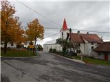
From the parking lot at the church of St. Vid we return to the main road, and from there we continue towards Osredek. Already after few 10 meters we get to a crossroad at the chapel, where we continue left in the direction of Osredek and only a little further at the unmarked crossroad we go again left. An asphalt road which continues without large changes in altitude or is even slightly descending, eventually brings us to the settlement Zala. Here at first a nice view opens up on surrounding hills, and then we walk past few more houses in the village.
After the village, the path branches off to the left downwards towards the 20 minutes distant waterfall Kotel, and we continue straight, where the path or road leads past the quarry Zala. After the quarry, the road turns towards the east, where at first on the south side bypasses Preska (Preska is 805 meters high peak a little above the road), and then continues on and by the ridge of Debeli hrib.
From Debeli hrib follows a little longer descent, and then we get to the next marked crossing, where from the left joins a marked path from Rakitna, and we continue straight in the direction of Bukovec, Krvava Peč and Iški Vintgar on the road which ascends a little.
From the crossing ahead, the forest gets thinner, and the road passes on panoramic meadows, from where a nice view opens up on hills above the river Iška and on hills above its tributaries. After few minutes of additional walking, we get to the beginning of the village Osredek, and we continue a little further to the near the tourist farm, where we can have a snack, or also a little further to the church of St. Primož and Felicijan.
On the way: Zala (847m), Debeli hrib (792m)
Pictures:
 1
1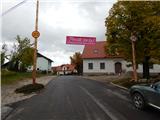 2
2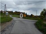 3
3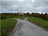 4
4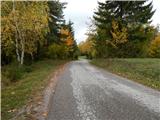 5
5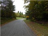 6
6 7
7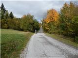 8
8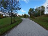 9
9 10
10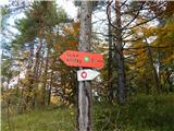 11
11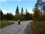 12
12 13
13 14
14 15
15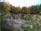 16
16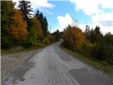 17
17 18
18 19
19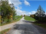 20
20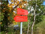 21
21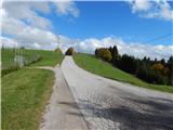 22
22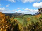 23
23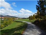 24
24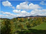 25
25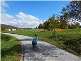 26
26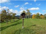 27
27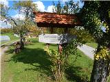 28
28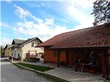 29
29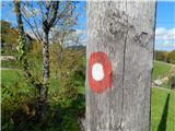 30
30 31
31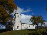 32
32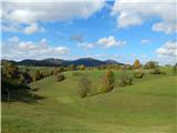 33
33