Teichalm (Teichalmsee) - Teichalmsee (path around the lake)
Starting point: Teichalm (Teichalmsee) (1172 m)
Starting point Lat/Lon: 47.35034°N 15.46031°E 
Path name: path around the lake
Time of walking: 18 min
Difficulty: easy marked way
Difficulty of skiing: no data
Altitude difference: -4 m
Altitude difference (by path): 3 m
Map:
Access to starting point:
From the border crossing Šentilj we continue driving on the highway towards Gradec / Graz and forward towards Linz and Salzburg. Highway A9 we soon leave and we continue driving slightly right in the direction towards Dunaj / Wien and we continue driving on the highway S35. The mention we leave the highway at exit for Mixnitz, and then at the roundabout we go to the exit in the direction of Teichalm. Further, we still follow the signs for Teichalm. At the end of the settlement St. Erhard we once again turn right towards Teichalm, and then we start ascending steeply. When we reach the mountain pasture Breitalm we gradually start descending, and we follow the road to the parking lot at the lake Teichalmsee.
Path description:
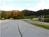
From the parking lot, we continue towards the north, and the path soon turns right and leads us over the bridge. Near the inn Almgasthof Zum Teichwirt, from the walking path few some paths branch off towards the nearby peaks, and we continue by the lake. The path soon turns even more to the right, so that we continue walking towards the southeast, and while walking we are accompanied by numerous benches and nice views. At the bigger wooden cow, the path turns even more to the right, and before the nearby inn with children's playground we go once again right. Next follows few minutes of walking by the lake, by which we continue to the spot, where we started.
Description and pictures refer to a condition in September 2022.
Pictures:
 1
1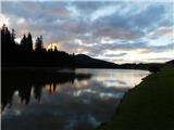 2
2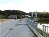 3
3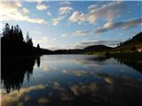 4
4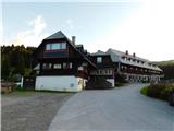 5
5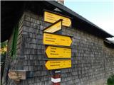 6
6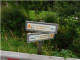 7
7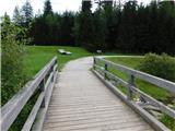 8
8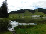 9
9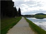 10
10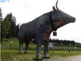 11
11 12
12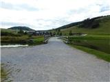 13
13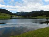 14
14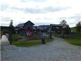 15
15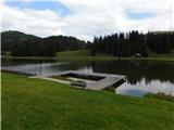 16
16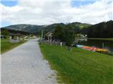 17
17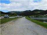 18
18 19
19