The Krma Valley - Vodnikov dom
Starting point: The Krma Valley (944 m)
Starting point Lat/Lon: 46.3851°N 13.9071°E 
Time of walking: 3 h 30 min
Difficulty: easy marked way
Difficulty of skiing: partly demanding
Altitude difference: 873 m
Altitude difference (by path): 1050 m
Map: Triglav 1:25.000
Access to starting point:
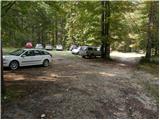
We leave Gorenjska highway at exit Hrušica and follow the road ahead in the direction of Kranjska Gora. Just a little before the village Dovje the road which goes to Mojstrana (Vrata, Kot and Krma) branches off to the left. We follow the road ahead in the direction of village Radovna and the valleys Krma and Kot. The relatively steep road then runs past the sign TNP, behind which the road soon flattens and it brings us to a crossroad, where a macadam road into a valley Kot branches off to the right. We continue straight on the road which starts descending. In the middle of the descent, a road into a valley Krma branches off to the right (straight Radovna). A little further, we come to the next crossing, where we continue right in the direction of Krma. Macadam road then brings us to the mountain hut Kovinarska koča, and we follow it further. Occasionally a little rough road then brings us to a parking lot in front of the gate.
Path description:
From the parking lot, we continue on the road past the gate to extensive deposits of gravel. Next follows few minutes of easy walking on gravel to a marked but sometimes poorly visible crossing. Walking path continues straight, and blazes point us to the right over a torrent into the forest, where the path starts slightly ascending. Only after approximately 40 minutes of walking, the path becomes steeper, but not that much. A moderately steep path at the altitude of 1300m brings us out of the forest into dwarf pines. Here nice views are starting to open up on the nearby walls of peaks above Krma. Ascent doesn't last long, because the path soon descends for few meters and brings us on nice plain Vrtača. The walk through a nice grassy plain is very pleasant and panoramic. And on the other side, the path again starts ascending, this time through a thin forest. This ascent also doesn't last long, it gets interrupted by plain Malo polje, where there is a crossing.
We continue left in the direction of the mountain hut Vodnikov dom (right Planika and Kredarica) on the path which quickly starts ascending at first through larch forest and then on the scree upwards. The path on the scree is becoming steeper and steeper and is in snow, which here stays until mid summer dangerous for slipping. Because of the narrow last part of the path to a saddle Bohinjska vratca is also enlarged danger of falling stones.
From the saddle Bohinjska vratca follows only approximately 15 minutes of descent to the mountain hut Vodnikov dom.
On the way: Bohinjska vratca (1979m)
Trip can be extended to: Cesar
,
Koča na Doliču (2 h)
,
Vernar
,
Dom Valentina Staniča
,
Vrh Snežne konte
,
Šmarjetna glava (2 h 40 min)
,
Dom Planika
,
Visoka Vrbanova špica
,
Begunjski vrh
,
Triglavski dom na Kredarici
,
Rjavina
,
Triglav
Pictures:
 1
1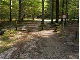 2
2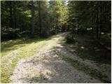 3
3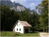 4
4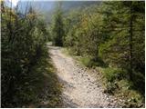 5
5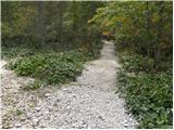 6
6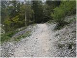 7
7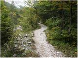 8
8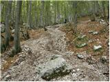 9
9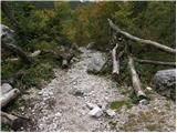 10
10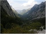 11
11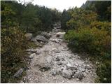 12
12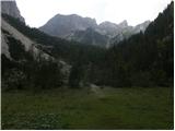 13
13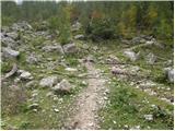 14
14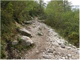 15
15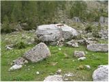 16
16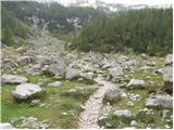 17
17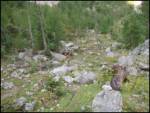 18
18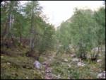 19
19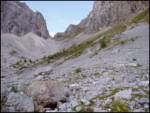 20
20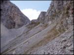 21
21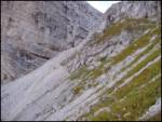 22
22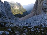 23
23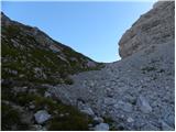 24
24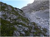 25
25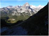 26
26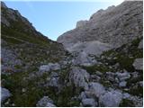 27
27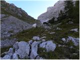 28
28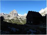 29
29