Tivoli - Cankarjev vrh (Rožnik) (by road)
Starting point: Tivoli (300 m)
Starting point Lat/Lon: 46.0577°N 14.4989°E 
Path name: by road
Time of walking: 40 min
Difficulty: easy marked way
Difficulty of skiing: easily
Altitude difference: 94 m
Altitude difference (by path): 130 m
Map: Ljubljana 1:20.000
Access to starting point:
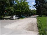
From Celovška cesta in Ljubljana we drive on a large payable parking lot near park Tivoli.
Path description:
From the parking lot, we at first walk to a castle Tivoli behind which we notice a forest road which starts ascending. Already few meters behind the castle we come on a first crossroad, where we continue on the bottom left road which is further moderately ascending (right steep road ends). After a few minute walk road turns sharply right and then flattens a little. Higher, the road crosses trim trail and then it brings us on a crossroad of several roads.
We continue on the most left road which after a shorter ascent starts descending and it quickly brings us to the next crossroad at the monument to fallen in war for Slovenia. Here we continue straight (right Šišenski hrib) on the road which starts descending. After a short descent, the road again starts ascending and after few minutes of additional walking brings us to the inn on Rožnik. From the inn we can also walk to the summit of Rožnik (Cankarjev vrh) in the middle of which stands a church.
On the way: Grad Tivoli (315m)
Pictures:
 1
1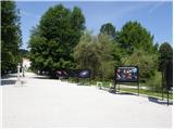 2
2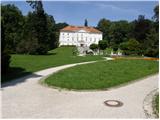 3
3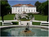 4
4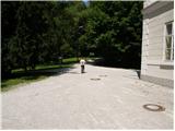 5
5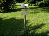 6
6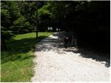 7
7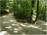 8
8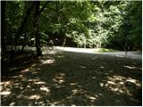 9
9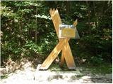 10
10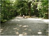 11
11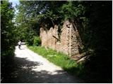 12
12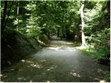 13
13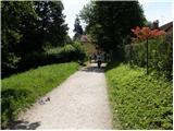 14
14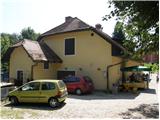 15
15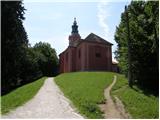 16
16