Tomčeva koča na Poljški planini - Begunjščica
Starting point: Tomčeva koča na Poljški planini (1180 m)
Starting point Lat/Lon: 46.4085°N 14.2078°E 
Time of walking: 2 h 50 min
Difficulty: easy marked way
Difficulty of skiing: demanding
Altitude difference: 880 m
Altitude difference (by path): 900 m
Map: Karavanke - osrednji del 1:50.000
Access to starting point:
From highway Ljubljana - Jesenice we go to the exit Radovljica (from Gorenjska side exit Lesce) and follow the road ahead in the direction of Begunje. At the end of the village Begunje we turn left towards the mountain hut Dom v Dragi (right Tržič). Asphalt road then brings us to the parking lot near the mountain hut in Draga. And we continue right on the road in the direction of the mountain hut Roblekov dom and mountain pasture Poljška planina. Further, we follow relatively steep and occasionally worse road in the direction of the mountain pasture Poljška planina, where on a marked parking lot near the mountain hut Tomčeva koča we park.
Path description:
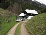
From the parking lot, we walk to the mountain hut Tomčeva koča, where a signpost for mountain hut Roblekov dom points us on a footpath which goes into the forest. The path through the forest is moderately ascending and it soon brings us to the spot, where a lot of logs are situated. This logs are intended for heating the mountain hut Roblekov dom. If we are in the mood and we have enough strength we can take one to the hut (they will be very grateful).
Forest is becoming thinner and the path steeper and steeper. From wide and well-made path, which is in rain quite muddy occasionally nice views open up. The path then turns a little to the left and it brings us to the spot, where from the right side joins the path from the mountain pasture Preval-a.
We continue on the left path, which after additional 10 minutes of a diagonal ascent brings us to the mountain hut.
From the hut, we continue right in the direction of Veliki vrh on Begunjščica on the path which already after few steps goes into the forest. Lane of forest, which is short quickly changes into bushes and higher into dwarf pines. After a good 20 minutes of ascent from the mountain hut Roblekov dom we come to the next crossing, where we again continue in the direction of Veliki vrh, which is with 2060m the highest peak of Begunjščica. The path ahead is ascending diagonally, on in parts quite steep southern slopes of Begunjščica. The transverse path, which offers nice views on Gorenjska has in the upper part a larger number of orientational problems. Because of large number of hikers and sheeps in the upper part there are numerous footpaths, which can quickly lead away from the right path. To not go astray, which in fog can quickly happen, we stick to the left (upper) otherwise very poorly marked path. The path which is in wet also dangerous for slipping, then finally brings us on a panoramic peak.
The starting point - Roblekov dom 1:20, Roblekov dom - Begunjščica 1:30.
Pictures:
 1
1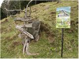 2
2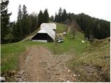 3
3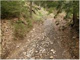 4
4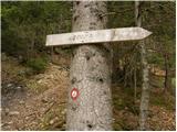 5
5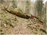 6
6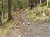 7
7 8
8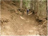 9
9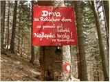 10
10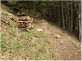 11
11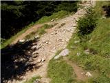 12
12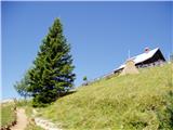 13
13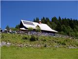 14
14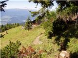 15
15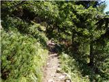 16
16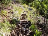 17
17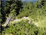 18
18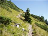 19
19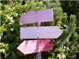 20
20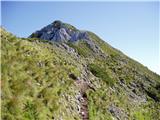 21
21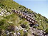 22
22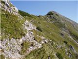 23
23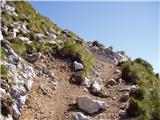 24
24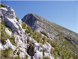 25
25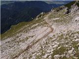 26
26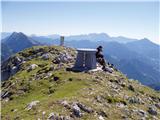 27
27