Tone Čufar square (Jesenice) - Waterfall below Kalvarija
Starting point: Tone Čufar square (Jesenice) (580 m)
Starting point Lat/Lon: 46.4352°N 14.062°E 
Time of walking: 40 min
Difficulty: difficult pathless terrain
Difficulty of skiing: no data
Altitude difference: 120 m
Altitude difference (by path): 120 m
Map: Karavanke - osrednji del 1 : 50.000
Access to starting point:
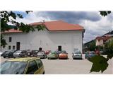
From highway Ljubljana - Jesenice we go to the exit Lipce, where we turn right towards Jesenice. In the settlement Slovenski Javornik, at the crossroad with traffic lights we turn left towards the center of the town. At the second traffic light crossroad (at the secondary school) we turn sharply right, back, where we drive on the road Tomšičeva cesta, past the primary school on the left. Next follows a smaller crossroad at which we turn right, and we drive on a hill downwards, and immediately after this, we turn once again right on a large parking lot, which is situated behind the Tone Čufar Theater.
Path description:
From the parking lot, we return back by the road to a crossroad near the primary school on the left, at which we turn right and we continue on the road Tomšičeva cesta towards the east. We soon get to a bus stop, and behind it we have to cross the road. On the other side of the road, we get to a roadside retaining wall with a passage, in which there are stairs. On those we ascend into the settlement, where past few houses we continue straight uphill towards the forest. A little higher we step on grass, where there is an overgrown path in the forest. Past an old water catchment which resembles a shelter, it leads us into the forest, where we run into an even bigger fenced water catchment. Past the latter we continue on the right, and we soon run into a diagonal path, on which we go and we continue right (left - path on Kalvarija). The path descends and in few steps, it brings us to a riverbed of a torrent stream Dole. Here we leave it, and we continue left along the often dry riverbed of the stream, upwards towards the north. After a short ascent, the walk on and by the riverbed brings us at first to a smaller waterfall so-called "stražar" (guard), which we easily climb on the right (left bank), and we continue upwards on the more and more difficult terrain by the riverbed of the stream. A little higher we get to the middle, a little bigger (approx 8 meters) waterfall, towards the foot of the which with some effort we can ascend also without the use of any special equipment. In case if we want to continue the ascent, to view upper, the highest waterfall, we will beside the experiences need at least a good ice axe to move forward on a steep terrain, and a rope in case of a descent in the same direction. So to continue we go on a slope of steep grass and partly rocks on our right. A little higher, above the middle waterfall we turn slightly left and we ascend on a steep rib to the other side (we will have to dig the footholds), on the slope of the left (the same) bank of the stream, or a small valley below the upper waterfall. After this with some caution we descend into the mentioned small valley below the highest waterfall. Here the terrain is mostly broken and because of consequences of the sleet full of the fallen trees. If we will continue on a slope, higher we will get to a barrier in the shape of a greater steepness, which without the use of the mentioned equipment and experiences isn't passable. In wet on the entire area waterfall preti great risk of slipping!
On the way: Kalvarija (784m)
Pictures:
 1
1 2
2 3
3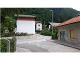 4
4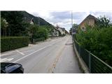 5
5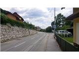 6
6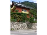 7
7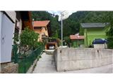 8
8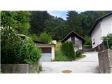 9
9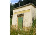 10
10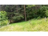 11
11 12
12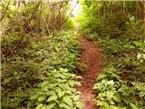 13
13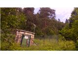 14
14 15
15 16
16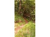 17
17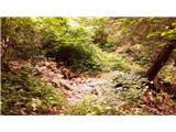 18
18 19
19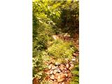 20
20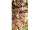 21
21 22
22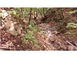 23
23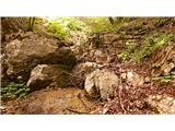 24
24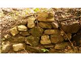 25
25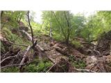 26
26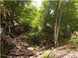 27
27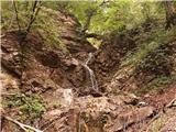 28
28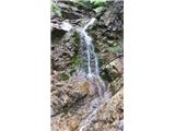 29
29 30
30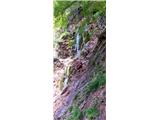 31
31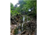 32
32