Trate / Johannsenruhe - Hochstuhl/Stol (climbing way)
Starting point: Trate / Johannsenruhe (1152 m)
Starting point Lat/Lon: 46.4701°N 14.1562°E 
Path name: climbing way
Time of walking: 3 h 20 min
Difficulty: very difficult marked way
Ferrata: B/C
Difficulty of skiing: no data
Altitude difference: 1084 m
Altitude difference (by path): 1090 m
Map: Karavanke - osrednji del 1:50.000
Access to starting point:
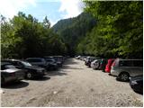
A) Through the Karawanks Tunnel, we drive to Austria, and then we drive on the highway towards Beljaku, which we leave on the first exit. From the point, when we left the highway, we follow the signs for Šentjakob v Rožu / Sankt Jakob im Rosental. When we get to the mentioned settlement we drive on the main road past Podgora / Maria Elend and settlement Sveče / Suetschach to the settlement Bistrica v Rožu / Feistritz im Rosental, where before the stores Billa and Penny we turn right in the direction of the valley Rute / Bärental. About 100 meters after we leave the main road we continue left, after that on a little narrower and ascending road we drive to a large parking lot (parking lot is located near a meadow named Trate / Johannsenruhe). From the store Penny to the starting point, there is approximately 9 km narrower asphalt road, macadam is only in the last part. From the entrance in Karawanks Tunnel to the starting point, there is approximately 38 km.
B) Through a border crossing Ljubelj we drive to Austria, where on the main road towards Celovec / Klagenfurt am Wörtersee we drive to the second roundabout, from where we continue driving in the direction of exit Bistrica v Rožu / Feistritz im Rosental (main road towards Celovec we leave before we cross a river Drau). In the mentioned settlement immediately behind the stores Billa and Penny we turn left on a road in the direction of the valley Rute / Bärental. About 100 meters after we leave the main road we continue once again left, after that on a little narrower and ascending road we drive to a large parking lot (parking lot is located near a meadow named Trate / Johannsenruhe. From the store Penny to the starting point, there is approximately 9 km narrower asphalt road, macadam is only in the last part. From the entrance in Ljubelj tunnel to the starting point, there is approximately 32 km.
C) From Dravograd or Slovenj Gradec we drive to Ravne na Koroškem, and then we continue driving in the direction of border crossing Holmec. When we drive in Austria at first we drive towards Pliberk / Bleiburg, and then we follow the signs for Globasnica / Globasnitz and ahead Železna Kapla / Bad Eisenkappel, Borovlje / Ferlach. Behind Borovlje at the roundabout, we join the road through the border crossing Ljubelj. Here in first roundabout we continue in the direction of Celovec / Klagenfurt, in the second in the direction of Bistrica v Rožu / Feistritz im Rosental. In the mentioned settlement immediately behind the stores Billa and Penny we turn left on a road in the direction of the valley Rute / Bärental. About 100 meters after we leave the main road we continue once again left, after that on a little narrower and ascending road we drive to a large parking lot (parking lot is located near a meadow named Trate / Johannsenruhe. From the store Penny to the starting point, there is approximately 9 km narrower asphalt road, macadam is only in the last part. From the border crossing Holmec to the starting point, there is approximately 71 km.
Path description:
From the parking lot, we continue past a gate on the road which is closed for traffic. Further, the road becomes a little steeper, and we can ascend both on the road or on the footpath which quite few times crosses a mountain road. Further road and the footpath soon bring us to a marked crossing. We continue right following the signs “Hochstuhl – Klettersteig”, left leads the path towards the mountain hut Celovška koča.
The path from a crossing at first starts slightly ascending over the scree, and then turns to the left and it brings us in front of the entrance into a climbing part of the path.
At the beginning of the climbing part of the path, we vertically ascend few times with the help of numerous stemples and steel cables. The path then turns to the left and by the steel cable crosses a steep rocky slope. Next follows few ascents by the steel cable and then the path becomes a little less demanding and brings us in the dwarf pines.
The path through dwarf pines is again gradually becoming a little more demanding and then follows few ascents by the steel cable and then steep ascent with the help of stemples. The path then through dwarf pines it brings us on at first still indistinct ridge by which we are then ascending for quite some time. The ascent on the ridge runs mostly through dwarf pines, and in the upper part the ridge becomes more rocky. Ridge is also slightly exposed and there are also some steel cables for help.
When the ridge ends, we continue slightly right and then we ascend through a gully with the help of steel cables left upwards. In the early summer there can still be snow in the gully. From the gully then we continue right and then follows some steep ascents by the steel cable to the inscription box by the path. From the inscription box a short ascent follows with the help of steel cables, and then the path becomes less steep.
Further, the path is ascending towards the main ridge of the mountain. When we reach the main ridge we continue left and start ascending on the Slovenian side of the ridge towards the summit, which is not far away.
On the way: Trate / Johannsenruhe (1226m)
Pictures:
 1
1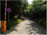 2
2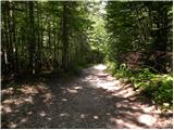 3
3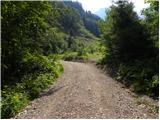 4
4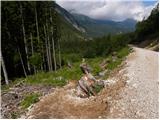 5
5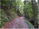 6
6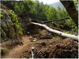 7
7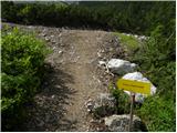 8
8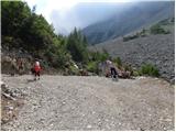 9
9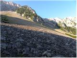 10
10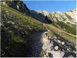 11
11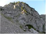 12
12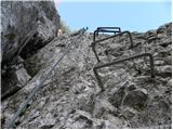 13
13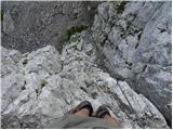 14
14 15
15 16
16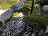 17
17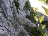 18
18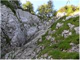 19
19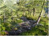 20
20 21
21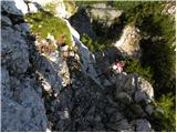 22
22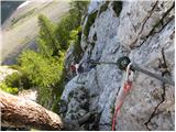 23
23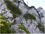 24
24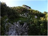 25
25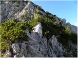 26
26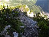 27
27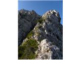 28
28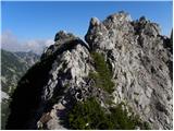 29
29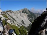 30
30 31
31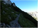 32
32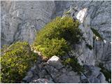 33
33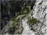 34
34 35
35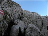 36
36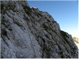 37
37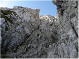 38
38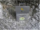 39
39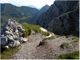 40
40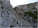 41
41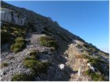 42
42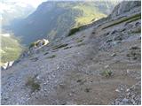 43
43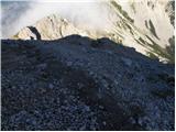 44
44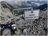 45
45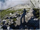 46
46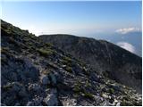 47
47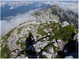 48
48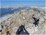 49
49