Trbovlje - Kum (via Čebulova dolina)
Starting point: Trbovlje (250 m)
Starting point Lat/Lon: 46.1263°N 15.0362°E 
Path name: via Čebulova dolina
Time of walking: 3 h 30 min
Difficulty: easy marked way
Difficulty of skiing: partly demanding
Altitude difference: 970 m
Altitude difference (by path): 970 m
Map:
Access to starting point:
Railway station in Trbovlje.
Path description:
The beginning of the path is at the traffic light at the crossroad in Trbovlje at Cementarna. We go in the direction towards Dobovec. After approximately 100 meters from the road, the path branches off towards Kum. We continue on this path approximately 30 minutes, to the beginning of Čebulova dolina here is a farm where the path goes left from the hayrack and then at the manure heap and stable, the path turns below the stable and then at the end of the stable, the path goes between this and the other structure on the yard of a house, the path then turns right below the second hayrack through the valley to an asphalt road, where we cross the road and we continue uphill on a meadow. On the top of this meadow in spring time you can see a lot of gentian. Then you get on a macadam road, where there is a crossroad and the path goes further through the valley or right on some farm. We choose the path further through the valley. The path leads us through this valley, where we for a very long time walk among spruces. Then at the end of the valley, we turn left, where we walk through the forest uphill to the turn-off towards Lontovž (ski slope) or we go right towards Kum. From this path we come already right under Kum. There we can go around on the road or we ascend through the meadow on Kum.
Pictures:
 1
1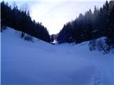 2
2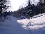 3
3 4
4 5
5 6
6 7
7 8
8 9
9 10
10 11
11 12
12 13
13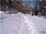 14
14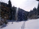 15
15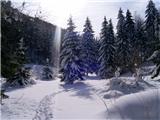 16
16 17
17 18
18 19
19 20
20 21
21 22
22 23
23 24
24 25
25 26
26 27
27 28
28 29
29 30
30 31
31 32
32 33
33 34
34 35
35 36
36 37
37 38
38 39
39 40
40