Starting point: Trdkova (278 m)
Starting point Lat/Lon: 46.85464°N 16.10848°E 
Time of walking: 18 min
Difficulty: easy marked way
Difficulty of skiing: no data
Altitude difference: 84 m
Altitude difference (by path): 84 m
Map: Pomurje 1:40.000
Access to starting point:
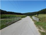
A) We drive on the road Gorenji Petrovci - Kuzma, and the road towards Kuzma we follow to the beginning of the village Martinje (on signposts Martinje Trdkova). Here only few 10 meters before the beginning of the village we notice signs for Tromejnik, which point us to the right, on the road on which we quickly get to the village Trdkova. The road then moderately ascends and it brings us to a crossroad, at which we notice signs for Tromejnik left and right. We decide for the left road which starts descending steeply. The road lower flattens and after few 100 meters of additional driving brings us to the next crossroad, where we continue straight towards Kuzma (right - Tromejnik). Next follows approximately 200 meters of driving and by road we notice hiking signposts, where there is the beginning of the described path. At the starting point, there aren't any parking spots.
B) We drive to Kuzma, and then we follow the road towards Petrovci. Soon after Kuzma we notice signs for Trdkova, which point us to the left on a side road. In Matjaševci we go twice right, and before the beginning of the settlement Trdkova we will on the right notice red hiking signposts, where there is the beginning of the described path. At the starting point, there aren't any parking spots.
Path description:
From the starting point, we go on the south side of the road, where signs for Pomurje mountain trail point us on a cart track which immediately after the field turns right and for a short time it continues between the forest and the field. At the nearby crossing, we choose the left cart track which passes into the forest and it starts steeply ascending. Higher, we reach an indistinct ridge and the cart track changes into a footpath which a little ahead on the left side bypasses the secondary peak of Zalka. Here the path turns a little to the left and then it quickly brings us to the summit of Zalka, from where a view opens up a little towards the southwest.
Description and pictures refer to a condition in August 2021.
Pictures:
 1
1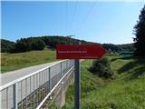 2
2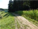 3
3 4
4 5
5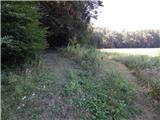 6
6 7
7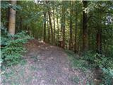 8
8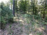 9
9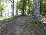 10
10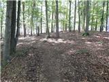 11
11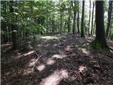 12
12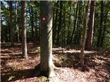 13
13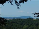 14
14