Türlwandhütte - Mitterstein (Anna Klettersteig)
Starting point: Türlwandhütte (1695 m)
Starting point Lat/Lon: 47.4501°N 13.61762°E 
Path name: Anna Klettersteig
Time of walking: 2 h 45 min
Difficulty: extremely difficult marked way
Ferrata: D
Difficulty of skiing: no data
Altitude difference: 402 m
Altitude difference (by path): 650 m
Map:
Access to starting point:
Through the Karawanks Tunnel, we drive to Austria, and then we continue driving on Tauern highway. Further, we drive through the tunnel Katschberg and later also Tauern tunnel, and the highway towards Salzburg we follow only to exit for Radstadt, Schladming. We continue on the road to the settlement Schladming where we then continue left on an ascending road following the signs Ramsau. In the settlement Ramsau, we continue a good 2 km on the mentioned road, and then we turn right on a payable road, where signs for cable car point us to. We follow this road all the way to a large parking lot in front of the bottom station of the cable car.
Path description:
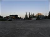
From the parking lot, we continue past the bottom cableway station following the signs Südwandhütte. The path at first leads on the right side of the cableway through a thin larch forest, later turns to the left and crosses slopes towards the west. Soon the path towards the climbing garden (Klettergarten) branches off to the right. We still cross the slopes towards the west and from the left joins the path from a lower starting point. From the crossing then follows approximately 10 minutes of walking on a scenic slope to the mountain hut Südwandhütte.
From the mountain hut, we continue by following the signs for »Klettersteig Anna« and in a gentle descent, we cross a slope towards the north. The path quickly brings us to a crossing, where we continue left downwards, straight leads the path towards the climbing path Johann. From the crossing, the path starts a little steeper descending past rare dwarf pines and again brings us to a crossing. This time we continue right following the signs »Klettersteig Anna«, left leads the path downwards towards the mountain pasture Glösalm and Bachalm. The path then soon brings us on the scree which we for some time cross, and then signpost points us slightly to the right, and straight leads the path towards the mountain hut Adamek Hütte. The path further is marked with red dots and after a short ascent, it brings us to the entry of a climbing part of the path.
The climbing path already at the beginning ascends on an almost vertical column, and there are numerous iron spikes for help (difficulty C/D). After that, the path becomes slightly less demanding and soon turns to the right where we are ascending by the steel cable on a steep rocky slope. Next follows again more demanding ascent with the help of iron spikes, which brings us to the spot named Mittersteinköpfl (C). The path then turns to the left and then follows a short crossing to smooth plates (B). The path then ascends on smooth plates upwards (B/C) and then also steeply ascends with the help of iron spikes (C). Next follows an ascent on a very steep groove (C/D). Further, the path becomes slightly less demanding (to B/C), but still very exposed. In the last part, the path becomes demanding again and with the help of numerous iron spikes ascends on a vertical smooth wall (D). After that, the path gradually becomes less demanding and then follows an ascent by the steel cable on a less demanding ridge to the top.
The described path is extremely demanding and it is appropriate only for experienced mountaineers with mandatory self belaying.
From the top, we continue on the ridge and we join the path, that leads towards the climbing path Johann. We descend right towards the mountain hut Südwand Hütte. Or we can also continue left on climbing path Johann, which is even harder (difficulty level E) and also longer.
Pictures:
 1
1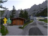 2
2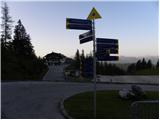 3
3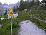 4
4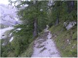 5
5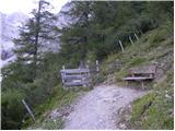 6
6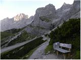 7
7 8
8 9
9 10
10 11
11 12
12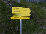 13
13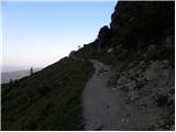 14
14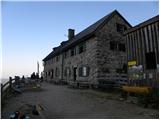 15
15 16
16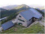 17
17 18
18 19
19 20
20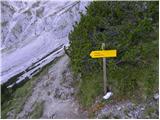 21
21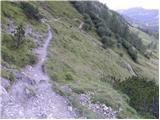 22
22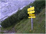 23
23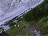 24
24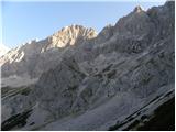 25
25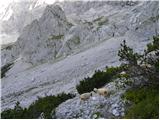 26
26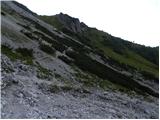 27
27 28
28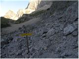 29
29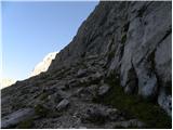 30
30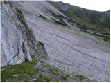 31
31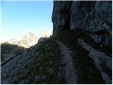 32
32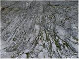 33
33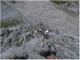 34
34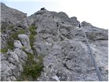 35
35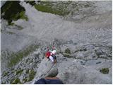 36
36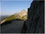 37
37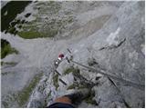 38
38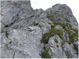 39
39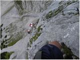 40
40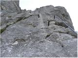 41
41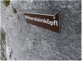 42
42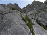 43
43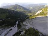 44
44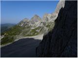 45
45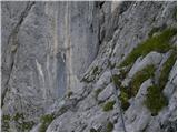 46
46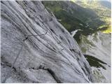 47
47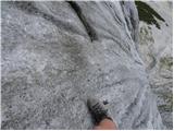 48
48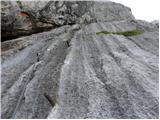 49
49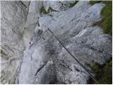 50
50 51
51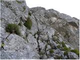 52
52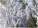 53
53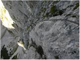 54
54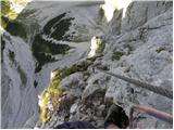 55
55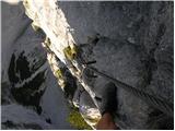 56
56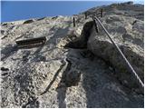 57
57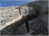 58
58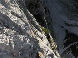 59
59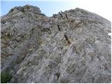 60
60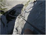 61
61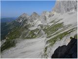 62
62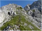 63
63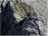 64
64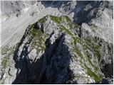 65
65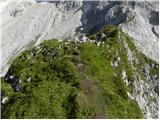 66
66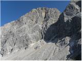 67
67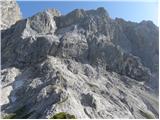 68
68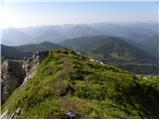 69
69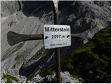 70
70