Vače - Zasavska Sveta gora (on a slope)
Starting point: Vače (523 m)
Starting point Lat/Lon: 46.1194°N 14.8372°E 
Path name: on a slope
Time of walking: 2 h 30 min
Difficulty: easy marked way
Difficulty of skiing: no data
Altitude difference: 329 m
Altitude difference (by path): 450 m
Map:
Access to starting point:
A) From the road Moravče - Zagorje ob Savi, in the settlement Kandrše we turn right (from the direction Zagorje left) in the direction of Vače and GEOSS. Next follows few kilometers of an ascent, and on a smaller saddle, where a road towards GEOSS branches off to the right, we continue straight and we descend to the settlement Vače, where we park by the cemetery or a parish church of St. Andrej.
B) From the road Ljubljana - Litija, in the settlement Spodnji Hotič we turn on the road in the direction of the settlement Vače. Next follows few kilometers of an ascent, where we follow the signs for Vače, when we get to the mentioned settlement, we park by a parish church or a little ahead on a large parking lot by the cemetery.
Path description:
From the parish church in Vače on the main road, we at first descend towards the west, and after few 10 strides, we get to a crossroad, where we continue left in the direction of the settlement Klenik. An easy descent a little ahead ends, and the road with a view on the hill Slemik leads by the edge of a meadow, where we go past several sculptures. At the sign for the beginning or the end of the settlement Klenik, the trail blaze points us left upwards on a footpath which ascends to the near house, which we bypass on the left side.
Above the house, we step on a cart track which we follow slightly to the left, and from there we soon go right on a marked footpath. The path after few minutes crosses a cart track, and we continue on a marked path, which is still ascending through the forest. Next follows a little steeper ascent and in few minutes of additional walking, we get to the church of the Holy Cross on Slemik.
From the top, we follow the signs for Sveta gora and we start descending on a cart track, where the path leads us past a bigger chapel. Next follows some descent, where we follow the blazes, and by the path, we notice some information boards of archeological path Vače. Next follows crossing of a meadow, and then through the forest on a marked path we descend to a macadam road. We follow the road towards the east, and there we are mostly gently to moderately ascending. During the ascent, we go past the quarry, and few minutes ahead, the road flattens and it brings us to the settlement Vovše, where we pass few houses, and behind the houses we gradually start descending. When we start ascending again, we also go past two older houses, behind which a steeper ascent follows through the forest. When the forest ends, we also get to organic farm and cheese cottage Vovše.
At the farm we go slightly left on a marked footpath in the direction of Zasavska Sveta gora. Next follows a shorter diagonal ascent and we get to a marked crossing, where the path splits.
We continue on the bottom path (on a slope), which is a little shorter (slightly left - the path on the ridge), which flattens and crosses slopes of Zasavska gora. The slope on which we walk soon becomes steeper and rocky, and the path is full of thin gravel and quite panoramic. In the last part of the crossing we also get help from a steel cable (snowless undemanding), and then we reach a small saddle, where joins the ridge path and unmarked path on a cart track which starts from the settlement Kostrevnica.
The path ahead is ascending on a cart track, and from there we go for some time right on a marked path, which soon returns on a cart track. We walk for a short time on a cart track, and when it starts descending, we continue slightly right on a marked path, which splits few steps ahead.
We continue right in the direction of the church on Zasavska Sveta gora (straight - mountain hut Koča na Zasavski Sveti gori) and after a shorter steep ascent we step on the summit, from which a nice view opens up, which reaches all the way to the Alps.
Vače - Slemšek 0:30, Slemšek - Zasavska Sveta gora 2:00.
Description and pictures refer to a condition in March 2020.
On the way: Sveti Križ (Slemšek) (680m), Vovše (685m)
Pictures:
 1
1 2
2 3
3 4
4 5
5 6
6 7
7 8
8 9
9 10
10 11
11 12
12 13
13 14
14 15
15 16
16 17
17 18
18 19
19 20
20 21
21 22
22 23
23 24
24 25
25 26
26 27
27 28
28 29
29 30
30 31
31 32
32 33
33 34
34 35
35 36
36 37
37 38
38 39
39 40
40 41
41 42
42 43
43 44
44 45
45 46
46 47
47 48
48 49
49 50
50 51
51 52
52 53
53 54
54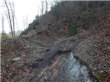 55
55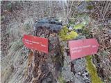 56
56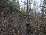 57
57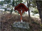 58
58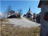 59
59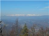 60
60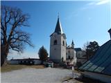 61
61