Veliko Trebeljevo - Sveta Marjeta (Prežganje)
Starting point: Veliko Trebeljevo (555 m)
Starting point Lat/Lon: 46.0124°N 14.7384°E 
Time of walking: 40 min
Difficulty: easy marked way
Difficulty of skiing: no data
Altitude difference: 103 m
Altitude difference (by path): 135 m
Map: Ljubljana - okolica 1:50.000
Access to starting point:
A) From Ljubljana east bypass highway, we go to the exit Bizovik, and then we continue driving towards Sostro and Besnica. After the saddle, where the road branches off to the right towards the settlement Javor, the road starts descending, and after a short macadam section it brings us into a valley of the stream Besnica, from there we continue driving on the main road towards the settlement Veliko Trebeljevo. Just before the beginning of the mentioned settlement we will get to a little bigger crossroad, where the main road continues towards Prežganje and Litija, and to the right the road branches off towards Mali Vrh and Veliko Trebeljevo. At the crossroad, where there is the beginning of the described path, there aren't any parking spots, therefore it is better that we park a little earlier on an appropriate place by the road.
B) First, we drive to Zalog (area of Ljubljana), and then over the river Ljubljanica we continue driving towards Podgrad, where we turn right in the direction of Besnica. The road ahead at first leads through a narrower underpass under the railway track, and then it starts gradually ascending. In Besnica we join the road from Sostro, and we continue driving straight towards Veliko Trebeljevo. Just before the beginning of the mentioned settlement we will get to a little bigger crossroad, where the main road continues towards Prežganje and Litija, and to the right the road branches off towards Mali Vrh and Veliko Trebeljevo. At the crossroad, where there is the beginning of the described path, there aren't any parking spots, therefore it is better that we park a little earlier on an appropriate place by the road.
C) First, we drive to Litija, and from there we continue driving towards Zavrstnik, Štangarske Poljane and Malo and Veliko Trebeljevo. At Malo Trebeljevo the road flattens, and then we follow it to a crossroad at the beginning of the settlement Veliko Trebeljevo, where there is also a little bigger crossroad. At the crossroad, where there is the beginning of the described path, there aren't any parking spots.
Path description:
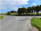
From the crossroad right next to Veliko Trebeljevo we continue on the main road towards Litija. After few minutes of easy walking on the asphalt road which runs along the meadow, we get to the chapel, where a marked road branches off to the left into Malo Trebeljevo, and few steps ahead, after the transformer a marked path branches off to the left, which continues on a little narrower asphalt road. And immediately when we leave the main road, we get to the village Malo Trebeljevo, through which the road starts ascending. After a smaller saddle, we in few minutes descend to another a little wider road which we follow to the left, and there we are gradually ascending towards Prežganje. Soon a road branches off to the right, which leads towards Sveta Marjeta and Minorites home (accessible with a car), and from here we short time continue on the main road. At the bigger built chapel we continue right and on a quite steep road we quickly ascend to the church of St. Marjeta.
Description and pictures refer to a condition in the year 2014 (September).
On the way: Malo Trebeljevo (565m)
Pictures:
 1
1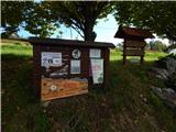 2
2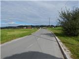 3
3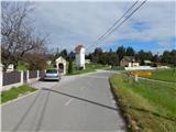 4
4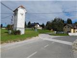 5
5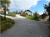 6
6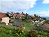 7
7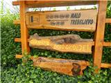 8
8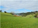 9
9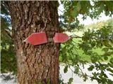 10
10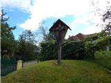 11
11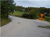 12
12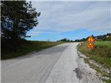 13
13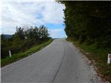 14
14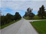 15
15 16
16 17
17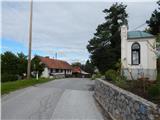 18
18 19
19 20
20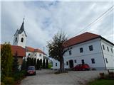 21
21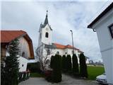 22
22 23
23