Vitanje - Basališče (Paški Kozjak)
Starting point: Vitanje (452 m)
Starting point Lat/Lon: 46.3845°N 15.2889°E 
Time of walking: 2 h 30 min
Difficulty: easy marked way
Difficulty of skiing: no data
Altitude difference: 820 m
Altitude difference (by path): 820 m
Map: Pohorje 1:50.000
Access to starting point:
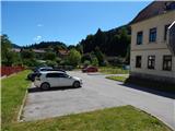
A) From highway Ljubljana - Maribor we go to the exit Celje - center and we continue driving towards Vojnik. In Vojnik we continue left towards Dobrna, and we follow the mentioned road to the settlement Nova Cerkev, where signs for Vitanje point us to the right. Further, we drive on a narrower and winding road, on which we get to the settlement Vitanje. Here we continue left and on an ascending road we ascend to the church of St. Anton by which we park on an appropriate place, and even better if we park on one of the parking lots in the center of Vitanje.
B) From highway Maribor - Ljubljana we go to the exit Slovenske Konjice, and then we follow the road towards the mentioned settlement. From Slovenske Konjice we continue driving on a regional road towards Celje, and we follow it to the settlement Stranice, where at the roundabout, we turn right towards Vitanje. We follow the road to the mentioned settlement, where at the main crossroad we turn left towards Nova Cerkev, and after few 10 meters right uphill (direction Paški Kozjak). Next we follow a narrower and ascending road to the church of St. Anton by which we park on an appropriate place, and even better if we park on one of the parking lots in the center of Vitanje.
Path description:
From the center of Vitanje we go on the road in the direction of the settlement Brezen and a marked path on Paški Kozjak and Smereška peč. After a short ascent on the mentioned road we get to the church of St. Anton in Vitanje, where we continue on the left road in the direction of Paški Kozjak. Only a little further, the road makes a left turn, and just at this spot we leave it, because signs for Basališče point us to the right on a cart track which ascends along the nearby stream. The cart track soon ends and the marked "path" turns right and it ascends through meadows to the nearby houses, where we step on a side road. From houses we walk to the main asphalt road which we only cross and we continue the ascent on a marked and well visible path. Ahead we short time walk on a wider path, then blazes point us sharply left on a narrower footpath which at first steeply ascends, and then it is ascending diagonally on relatively steep slopes. Higher, we join a wider path, and in a diagonal ascent it brings us below the rocky cliffs. A short ascent follows and the path brings us to the spot, where a short path branches off to the left towards the vantage point on Smereška peč.
From the vantage point, we return few meters back, and then we continue the ascent on a marked path, which quickly brings us out of the forest on the edge of grassy meadows. Further, we ascend by the edge of the forest, where after few minutes we get to a nearby road.
On the road, we step just at the smaller crossroad, and we continue the ascent on the middle road in the direction of Paški Kozjak. Further, we ascend past the chapel and farm Strmečnik, and then a marked path turns right into the forest. Higher, we cross the road twice, and when we step there the third time, we follow it to the right, but only to the first crossroad. At the crossroad, we don't continue on the left or right road, but we continue the ascent straight on a marked path, which ascends between the both roads. After a short ascent, we get to a lonely homestead behind which the path goes into the forest and starts steeply ascending. Higher, the path gradually flattens and it brings us to a smaller plain, where there is a hunting cottage Javorje.
From the hunting cottage, we go in the direction of Basališče and we continue on a relatively steep cart track which higher flattens and gradually changes into an occasionally quite overgrown footpath. We further follow the blazes, and those soon bring us to a forest road which we follow to the right. Next follows few minutes walk on the road, and then at the nearby hunting observatory the road ends.
We continue left on a marked cart track, from which soon a footpath which leads on Basališče branches off slightly to the left. The path only few steps higher passes on an indistinct ridge, where it turns to the right. Next follows few minutes of a light to moderate ascent and the path which mostly runs through the forest quickly brings us on the highest peak of Paški Kozjak.
On the way: Smereška peč (685m), Strmečnik (749m), Lovska koča Javorje (1080m)
Pictures:
 1
1 2
2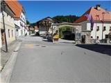 3
3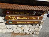 4
4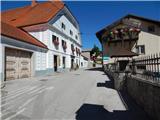 5
5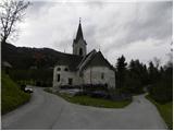 6
6 7
7 8
8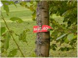 9
9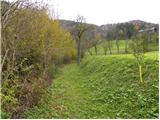 10
10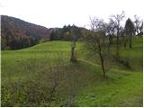 11
11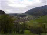 12
12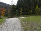 13
13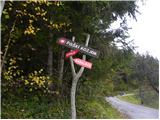 14
14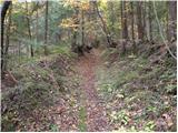 15
15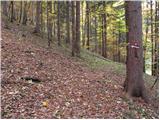 16
16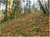 17
17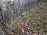 18
18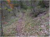 19
19 20
20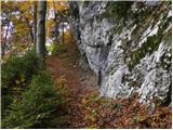 21
21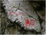 22
22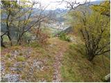 23
23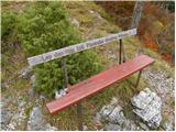 24
24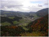 25
25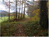 26
26 27
27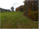 28
28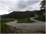 29
29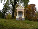 30
30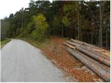 31
31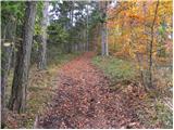 32
32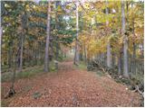 33
33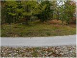 34
34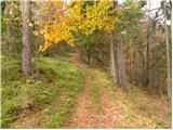 35
35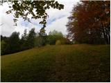 36
36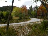 37
37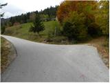 38
38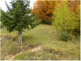 39
39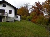 40
40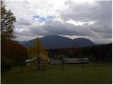 41
41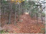 42
42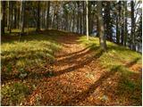 43
43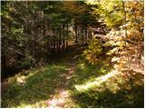 44
44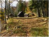 45
45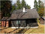 46
46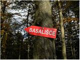 47
47 48
48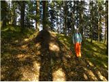 49
49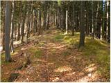 50
50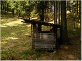 51
51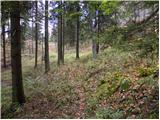 52
52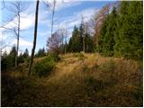 53
53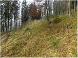 54
54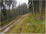 55
55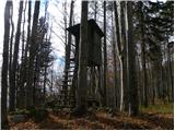 56
56 57
57 58
58 59
59 60
60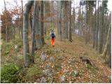 61
61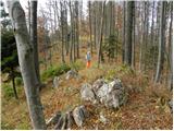 62
62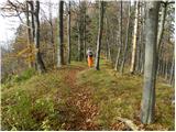 63
63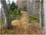 64
64 65
65 66
66