Vurberk - Grmada (at Vurberk) - southeastern peak
Starting point: Vurberk (363 m)
Starting point Lat/Lon: 46.48905°N 15.79702°E 
Time of walking: 15 min
Difficulty: easy marked way, easy unmarked way
Difficulty of skiing: no data
Altitude difference: 99 m
Altitude difference (by path): 99 m
Map:
Access to starting point:
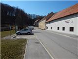
We leave Štajerska highway at exit Maribor - center, and then we follow the signs for Dogoše and Spodnji Duplek. We further follow the signs for Vurberk, and at the roundabout in Dvorjane we go to the exit towards Ptuj. When the road higher flattens, we get to a crossroad, near of which on the left there is a cemetery, and on the right culture house Vurberk. We park on a parking lot below the cemetery, or on a parking lot at the culture house.
Path description:
From the parking lot, we go on the path in the direction of Grmada where we at first walk on the road towards the cemetery, and already after few steps, we get to the right turn, where we continue straight on a footpath towards Grmada. Next follows a shorter ascent on a forest footpath, and then we reach a cart track which we follow to the left. On the cart track, we walk to the nearby expansion, where we continue slightly right on a marked path, which then ascends diagonally on a steeper slope. After few minutes, the path flattens and it brings us on the saddle between the both peaks of Grmada.
We continue right on an unmarked path (slightly left continues a marked path and leads on northwestern peak of Grmada), which continues on a cart track.
Next follows a shorter steep ascent, and when the path flattens, we reach an indistinct southeastern peak of Grmada.
Description and pictures refer to a condition in March 2022.
Pictures:
 1
1 2
2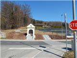 3
3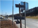 4
4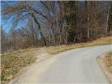 5
5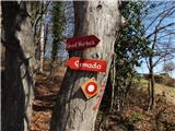 6
6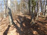 7
7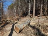 8
8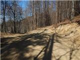 9
9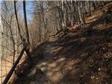 10
10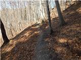 11
11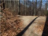 12
12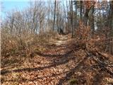 13
13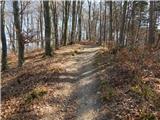 14
14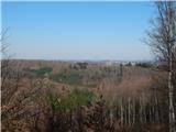 15
15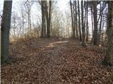 16
16 17
17