Walischeben - Speikkogel (Packalpe)
Starting point: Walischeben (1603 m)
Starting point Lat/Lon: 47.0494°N 14.7984°E 
Time of walking: 2 h
Difficulty: easy marked way
Difficulty of skiing: easily
Altitude difference: 390 m
Altitude difference (by path): 450 m
Map: WK 212 (Seetaler & Seckauer Alpen 1:50.000)
Access to starting point:
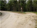
From Gorenjska side we go over the border crossing Ljubelj to Celovec / Klagenfurt or through Karawanks tunnel to Beljak / Villach. Ahead we go on the highway in the direction of signs for Gradec / Graz. We leave the highway for approximately 2km long tunnel in the direction of Bad St. Leonhard. Further, we drive past village St. Peter to the settlement Obdach. From the main road signs for Obdach point us to the left and we soon come to industrial zone. Before the underpass we turn right, where after few ten meters, we cross a railway track. The road which becomes a macadam at all crossroads we follow towards signs for Weißenstein Hütte. We park on a smaller parking lot by the road at the sign which prohibits further driving (right next to the parking lot there is also a crossroad).
From Koroška we at first drive into Dravograd and ahead into Austria. We follow the road ahead towards St. Paul, St. Andrä and Wolfsberg. In Wolfsberg we go towards Bad St. Leonhard and forward towards St. Peter. Further follow the description from Gorenjska.
From Štajerska side we drive to Maribor and ahead over the border crossing Šentilj into Austria. We follow the highway in the direction of Celovec / Klagenfurt. We leave the highway in the direction of exit Bad St. Leonhard. Further follow the description from Gorenjska.
Path description:
From a car we continue on the left road in the direction of Weißenstein Hütte. The road which is moderately ascending after few minutes comes out of the forest on panoramic slopes, where a beautiful view opens up. In front of us we notice cottage which we reach after few minutes of walk on the road.
From the cottage, we continue sharply right over a grazing fence. Further, we continue on a cart track which is gently ascending and in doing so it crosses a small well. After few minutes of walking, we come to a crossing, where we go left upwards. We follow a wide path good five minutes to a grazing fence. Ahead we cross the fence and we continue on the wide path, which slowly passes out of the forest. A pleasant path, which is mostly slightly ascending (exceptions are shorter descends) past a cross brings us to a well, where we can refresh ourselves. A little further, the path brings us on an indistinct main ridge, where we run into signposts.
We go right, where by the fence in a gentle ascent in few minutes we reach the panoramic peak.
Pictures:
 1
1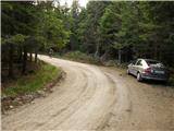 2
2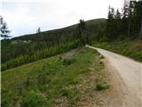 3
3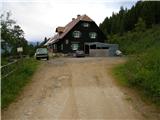 4
4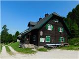 5
5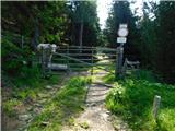 6
6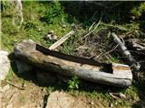 7
7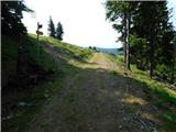 8
8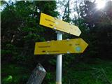 9
9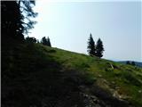 10
10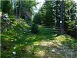 11
11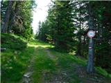 12
12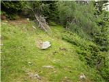 13
13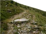 14
14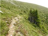 15
15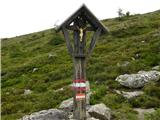 16
16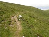 17
17 18
18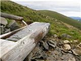 19
19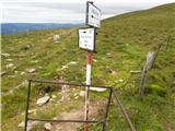 20
20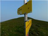 21
21 22
22 23
23 24
24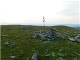 25
25 26
26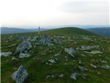 27
27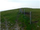 28
28 29
29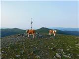 30
30