Zadnja Trenta (Flori) - Šmihelovec
Starting point: Zadnja Trenta (Flori) (962 m)
Starting point Lat/Lon: 46.4043°N 13.7098°E 
Time of walking: 4 h 20 min
Difficulty: difficult pathless terrain, difficult marked way
Difficulty of skiing: no data
Altitude difference: 1156 m
Altitude difference (by path): 1255 m
Map: TNP 1:50.000
Access to starting point:
From Kranjska Gora over mountain pass Vršič we drive towards Bovec or vice versa, but only to 49th hairpin turn of Vršič road (near the village Trenta). Here we go on a side road in the direction of source of river Soča. The road after a shorter ascent quickly brings us to the parking lot before the mountain hut Koča pri izviru Soče, but we continue left over a bridge and follow the road ahead to the parking lot at the end of the road (by parking lot we notice signposts for Bavški Grintavec, waterfalls of Suhi potok and Jalovec).
Path description:
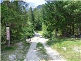
From the parking lot, we continue on the road which is closed with a gate in the direction of Bavški Grintavec. We continue slightly left on the road which runs by the riverbed of the stream Suhi potok, to the right leads the path towards Zavetišče pod Špičkom and Jalovec. For some time we still walk on the mentioned road, and then the path crosses the mentioned riverbed. At the crossing, we have to pay attention because footpath here isn't visible. And on the other side we can notice a wooden pillar with signs. On the other side a gentle path at first leads past few private cottages and then for some time runs through the forest by the left side of the riverbed. Further, we will by the path also notice quite a lot of fallen trees, which are consequences of avalanches. A little later the path brings us to a marked crossing where a path branches off to the left towards waterfalls Zapotoški slapovi, and we continue right in the direction of Bavški Grintavec.
The path then quickly brings us to the riverbed of a torrent where the footpath again vanishes a little. Few meters we still continue by the riverbed, and then we cross it slightly to the right and we go towards the other riverbed of the torrent, which we see slightly on the right. We start ascending by the left side of the mentioned riverbed and the path becomes again better visible. After a short ascent, the path leaves the mentioned riverbed and turns firmly to the left.
Here we at first cross the slopes covered with bushes and dwarf pines, and then the path brings us into a thin forest. The path further occasionally also ascends a little steeper, and on a shorter part we also get help from some iron spikes with the help of which we get to a panoramic spot where there is also a cross. Further, the slopes which we cross become even steeper and some caution is needed. The path here crosses few shorter steep gullies occasionally we get also help from fixed safety gear.
Further, the path mostly runs through the forest, and occasionally still nice views open up on peaks above Zadnja Trenta.
We are still mostly ascending diagonally on steep slopes and a little higher from the path also a view opens up towards waterfalls Zapotoški slapovi.
The path soon avoids steep slopes above the valley and through the forest brings us to the mountain pasture Planina Zapotok. On the mountain pasture, which is no longer active we continue to the shepherd hut, and on the left side below the shepherd hut we will also notice a stream, which originates nearby.
From the hut, we at first slightly descend to the riverbed of the stream where we continue right. The path then again brings us into the forest and starts ascending, and soon turns firmly to the left. Here on a short part we also get help from a steel cable. Further, we are still ascending through the forest, and the path starts again turning to the right.
Later, the path brings us to a smaller crossing where to the left an unmarked footpath branches off, which leads towards the walls of Srebrnjak (marked with a cairn), and we continue right on a marked path. Further, we pass into a little thinner larch forest and increasingly beautiful views start to open up on surrounding peaks. When we get a little closer to slopes of Zapotoški vrh and larches become quite rare, the path brings us to another crossing.
This time an unmarked path branches off to the left towards the saddle Velika Vrata, and we continue right still on a marked path. Here the path leads for some time by dwarf pines, then on a partly grassy slope and at the end, we come on the scree below Bavški Grinavec. Here we come also to a marked crossing where the path on Bavški Grintavec branches off to the left, and we continue right towards the saddle Kanja. Further, we then for some time cross the scree, and when we get a little closer to the saddle, the path towards the saddle splits into two branches. We continue on the right and when the grassy slopes on our right are not too steep we leave this path and we go right on pathless terrain.
When we leave the marked path we cross a grassy slope, which brings us to otherwise marked but very poorly visible path which leads towards Zavetišče pod Špičkom. Also, the mentioned path we quickly leave and we continue through the valley between the peaks Šmihelovec on the left and Zagorelec on the right in the direction towards the saddle Čez Lužo. Here we can walk on the bottom of the valley where occasionally there is also a visible footpath. When we will get a little closer to the saddle Čez Lužo, we will left from the peak Šmihelovec notice a distinct gully, which leads towards the ridge. We go on the scree towards the mentioned gully through which we then reach a smaller notch on the ridge. In the gully, which is relatively steep there is otherwise also quite a lot of gravel, so it can be also very slippery. It is recommended that we are ascending on the left edge of the gully where we can help ourselves also with rocks.
At the notch where a view opens up towards the west we continue right and we at first cross a slope on the left (western) side of the ridge. At the crossing some caution is needed, because the slope is slightly exposed and dangerous for slipping. On this part we also get some help from few cairns. After few ten meters of crossing we then go right upwards on a quite steep slope, which is partly covered with grass. On the slope, which is still dangerous for slipping we ascend towards the ridge. A little before the ridge the steepness decreases a little, and we continue slightly left and only a short ascent follows to a panoramic summit.
We descend on the ascent route.
Pictures:
 1
1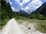 2
2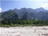 3
3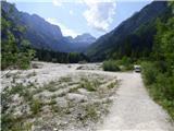 4
4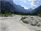 5
5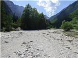 6
6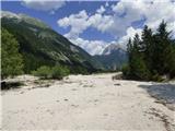 7
7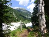 8
8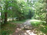 9
9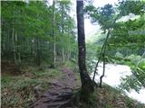 10
10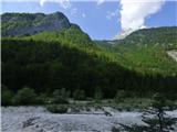 11
11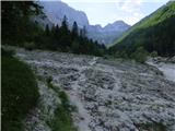 12
12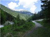 13
13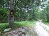 14
14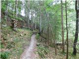 15
15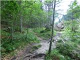 16
16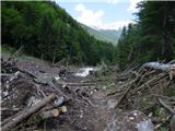 17
17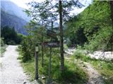 18
18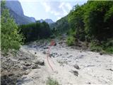 19
19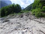 20
20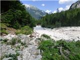 21
21 22
22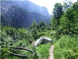 23
23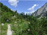 24
24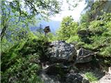 25
25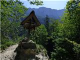 26
26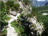 27
27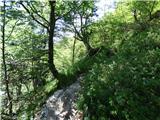 28
28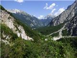 29
29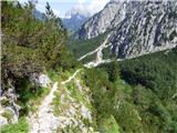 30
30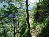 31
31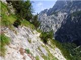 32
32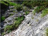 33
33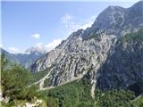 34
34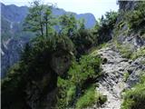 35
35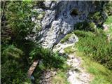 36
36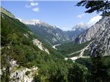 37
37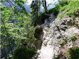 38
38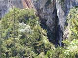 39
39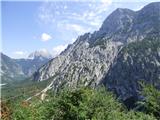 40
40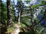 41
41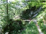 42
42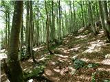 43
43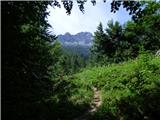 44
44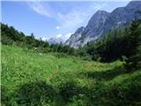 45
45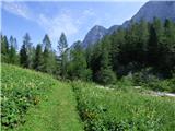 46
46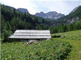 47
47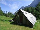 48
48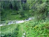 49
49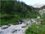 50
50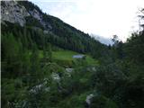 51
51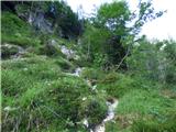 52
52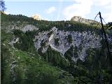 53
53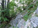 54
54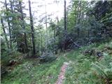 55
55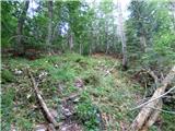 56
56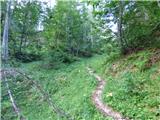 57
57 58
58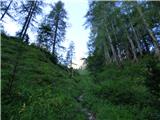 59
59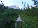 60
60 61
61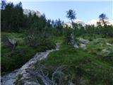 62
62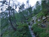 63
63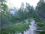 64
64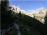 65
65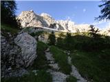 66
66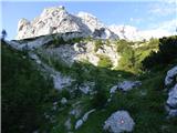 67
67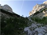 68
68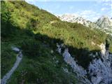 69
69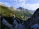 70
70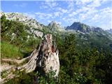 71
71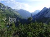 72
72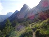 73
73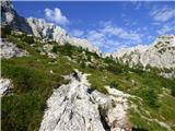 74
74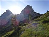 75
75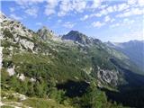 76
76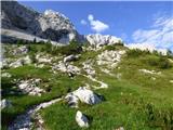 77
77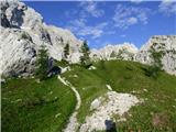 78
78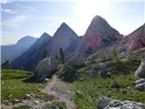 79
79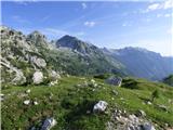 80
80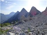 81
81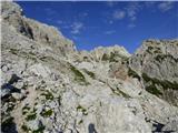 82
82 83
83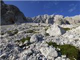 84
84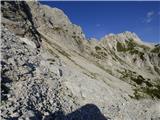 85
85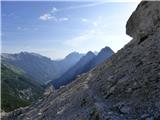 86
86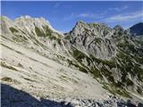 87
87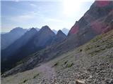 88
88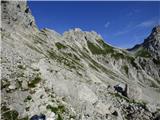 89
89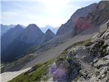 90
90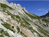 91
91 92
92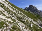 93
93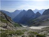 94
94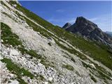 95
95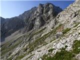 96
96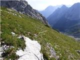 97
97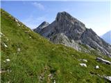 98
98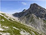 99
99 100
100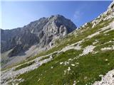 101
101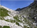 102
102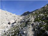 103
103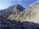 104
104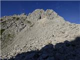 105
105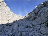 106
106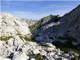 107
107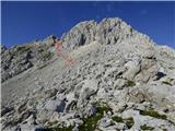 108
108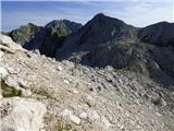 109
109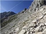 110
110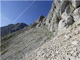 111
111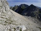 112
112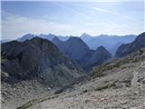 113
113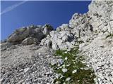 114
114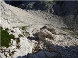 115
115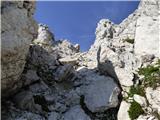 116
116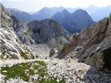 117
117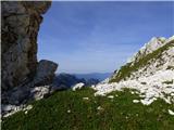 118
118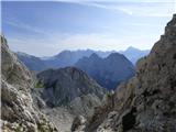 119
119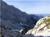 120
120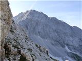 121
121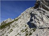 122
122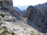 123
123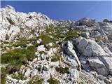 124
124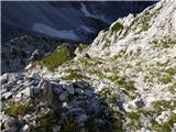 125
125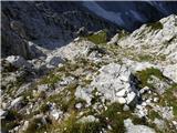 126
126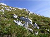 127
127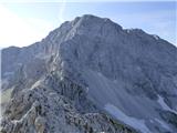 128
128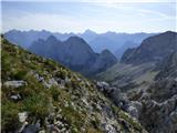 129
129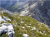 130
130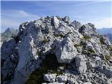 131
131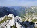 132
132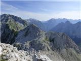 133
133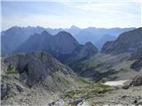 134
134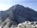 135
135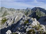 136
136